MyTopo
Nielsen Coulee Montana US Topo Map
Couldn't load pickup availability
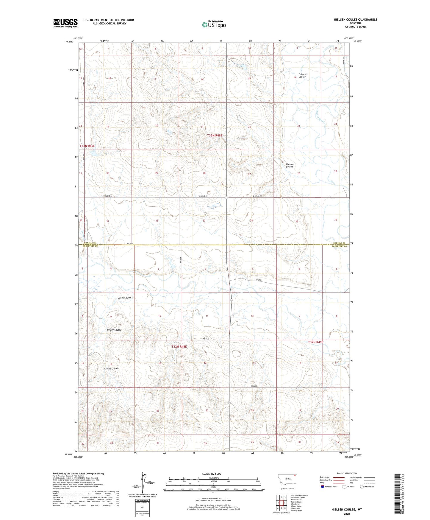
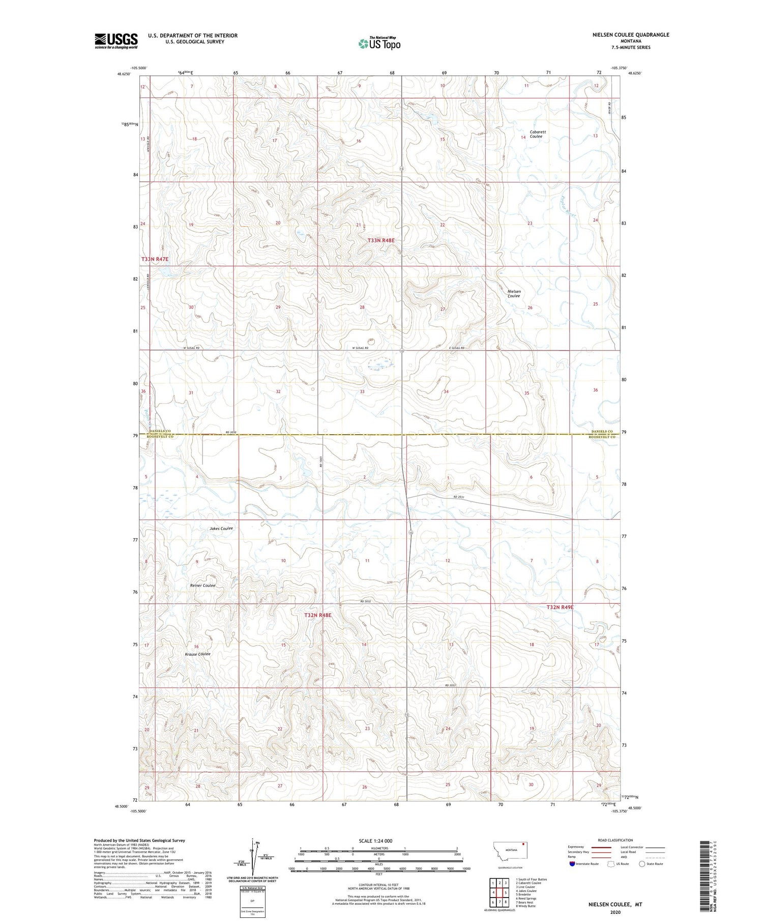
2020 topographic map quadrangle Nielsen Coulee in the state of Montana. Scale: 1:24000. Based on the newly updated USGS 7.5' US Topo map series, this map is in the following counties: Roosevelt, Daniels. The map contains contour data, water features, and other items you are used to seeing on USGS maps, but also has updated roads and other features. This is the next generation of topographic maps. Printed on high-quality waterproof paper with UV fade-resistant inks.
Quads adjacent to this one:
West: Jakes Coulee
Northwest: South of Four Buttes
North: Cabarett Coulee
Northeast: Line Coulee
East: Bredette
Southeast: Windy Butte
South: Bears Nest
Southwest: Reed Springs
Contains the following named places: 32N48E03DAAB01 Well, 32N48E13ABBC01 Well, 32N48E23DDDD01 Well, 33N48E29CDDD01 Well, 33N48E31BCCA01 Well, 33N48E33ADAD01 Well, 33N48E33ADDD01 Well, 33N48E33BBBB01 Well, Cabarett Coulee, Christensen Number 1 Dam, Christensen Number 2 Dam, Fort Peck Reservation Division, Jakes Coulee, Kahle, Kahle Post Office, Krause Coulee, Nielsen Coulee, PCB Dam, Police Creek, Pratt Dam, Reiner Coulee