MyTopo
Hedgesville Montana US Topo Map
Couldn't load pickup availability
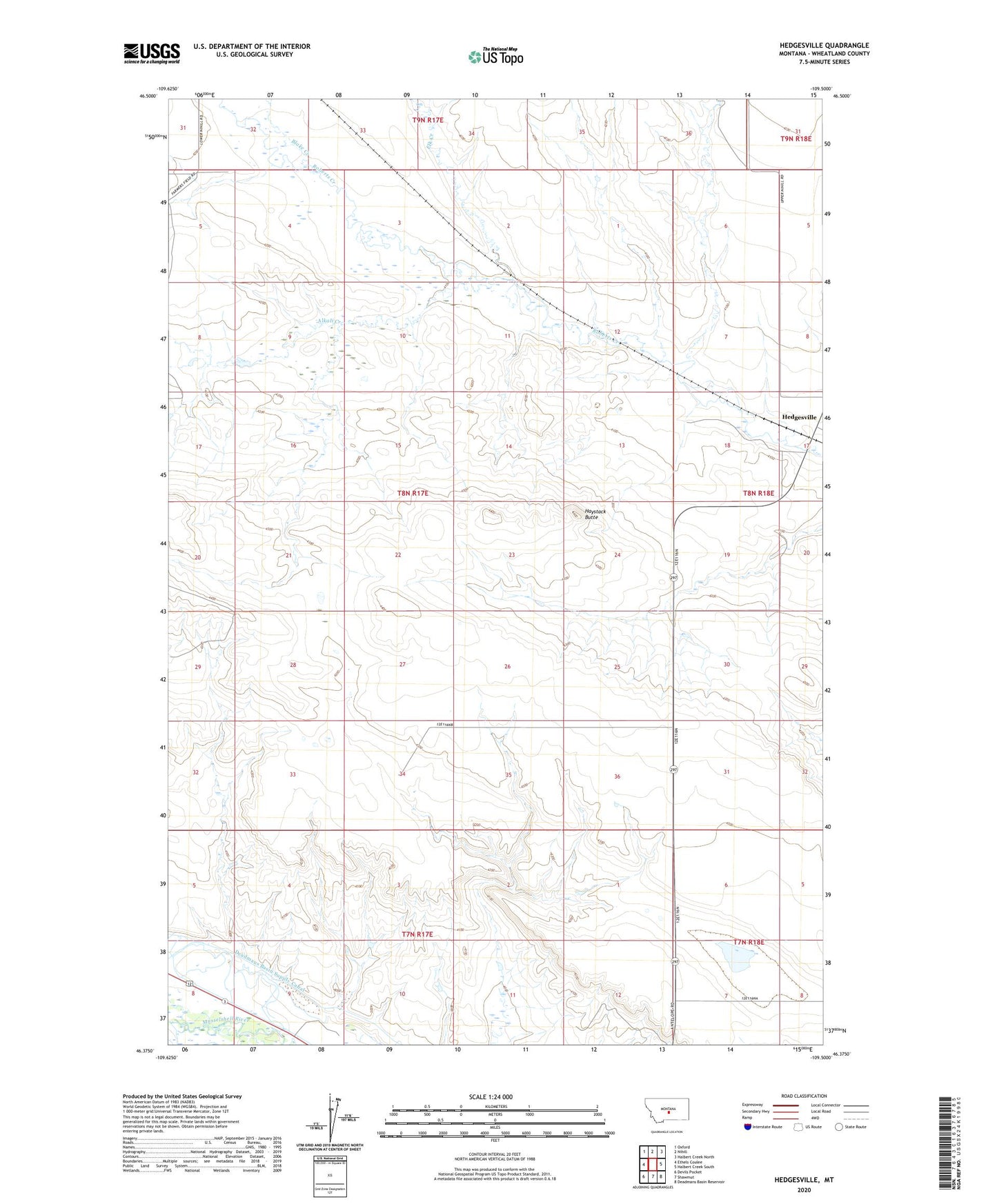
2024 topographic map quadrangle Hedgesville in the state of Montana. Scale: 1:24000. Based on the newly updated USGS 7.5' US Topo map series, this map is in the following counties: Wheatland. The map contains contour data, water features, and other items you are used to seeing on USGS maps, but also has updated roads and other features. This is the next generation of topographic maps. Printed on high-quality waterproof paper with UV fade-resistant inks.
Quads adjacent to this one:
West: Ethels Coulee
Northwest: Oxford
North: Nihill
Northeast: Halbert Creek North
East: Halbert Creek South
Southeast: Deadmans Basin Reservoir
South: Shawmut
Southwest: Devils Pocket
This map covers the same area as the classic USGS quad with code o46109d5.
Contains the following named places: 08N17E29BBB_01 Well, Alkali Creek, Blake Creek, Elk Creek, Ernie Hudson Dam, Haystack Butte, Hedgesville, Hedgesville Post Office, Hedgesville School, Judith Gap-Shawmut Division