MyTopo
Olson Coulee North Montana US Topo Map
Couldn't load pickup availability
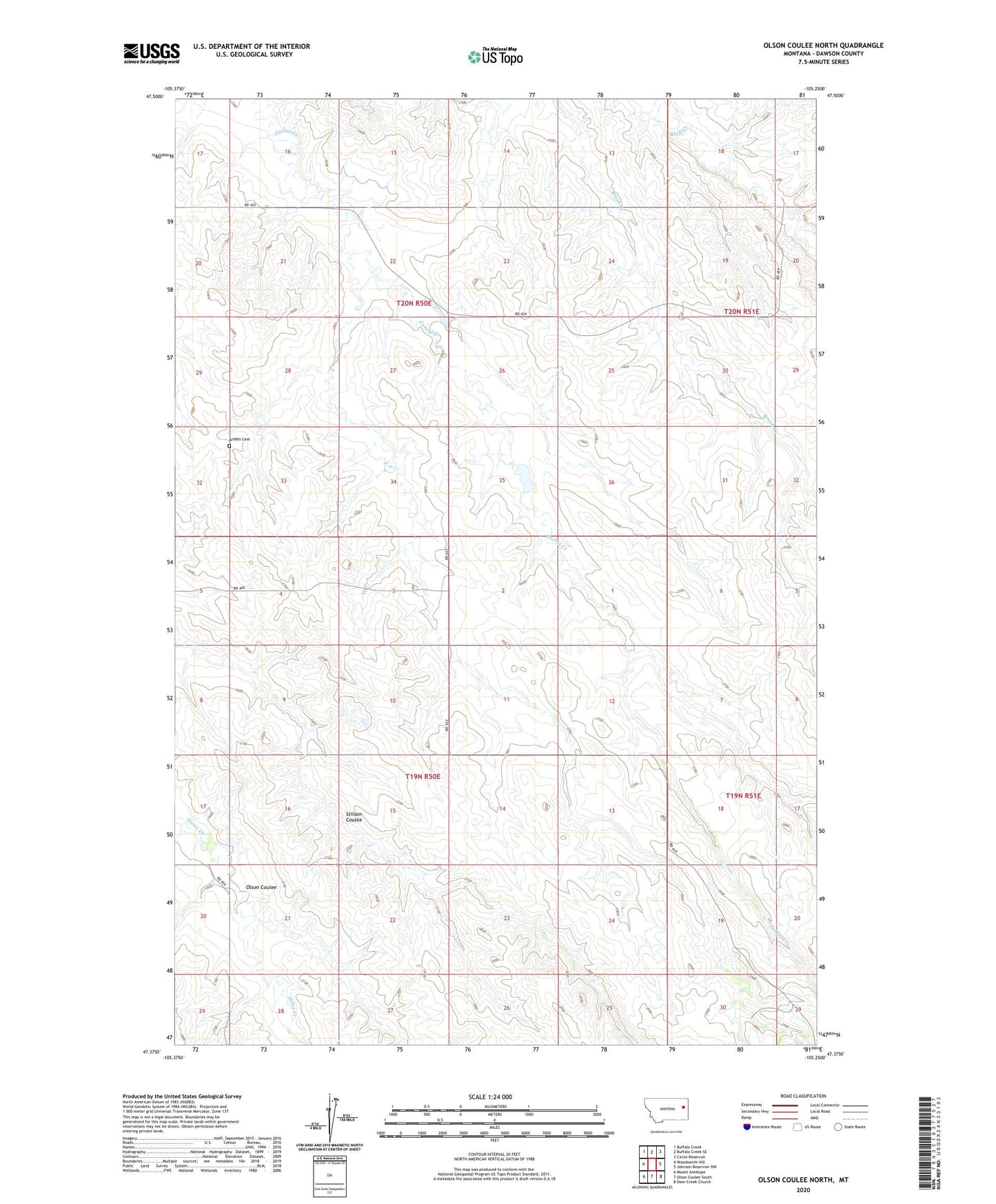
2024 topographic map quadrangle Olson Coulee North in the state of Montana. Scale: 1:24000. Based on the newly updated USGS 7.5' US Topo map series, this map is in the following counties: Dawson. The map contains contour data, water features, and other items you are used to seeing on USGS maps, but also has updated roads and other features. This is the next generation of topographic maps. Printed on high-quality waterproof paper with UV fade-resistant inks.
Quads adjacent to this one:
West: Woodworth Hill
Northwest: Buffalo Creek
North: Buffalo Creek SE
Northeast: Circle Reservoir
East: Johnson Reservoir NW
Southeast: Deer Creek Church
South: Olson Coulee South
Southwest: Mount Antelope
This map covers the same area as the classic USGS quad with code o47105d3.
Contains the following named places: 19N50E01CBA_01 Well, 19N50E10AAA_01 Well, 19N50E12DCB_01 Well, 19N50E23ACD_01 Well, 19N51E20BAB_01 Well, 20N50E14CABA01 Well, 20N50E16CACB01 Well, 20N50E22DBBD01 Well, 20N50E24DDCA01 Well, 20N50E26CBCC01 Well, 20N50E28DDDD01 Well, 20N51E18DADB01 Well, 20N51E30CAAD01 Well, 20N51E30CAAD02 Well, 20N51E30CAAD03 Well, 20N51E32CABC01 Well, 20N51E32CABC02 Well, Arnett Cemetery, Buskirk School, Corral Creek, Jensen Number 2 Dam, Jensen Number 3 Dam, Jensen Reservoir Dam, Jonas Number 2 Dam, Lower Corral Creek School, Olson Coulee, Upper Corral Creek School