MyTopo
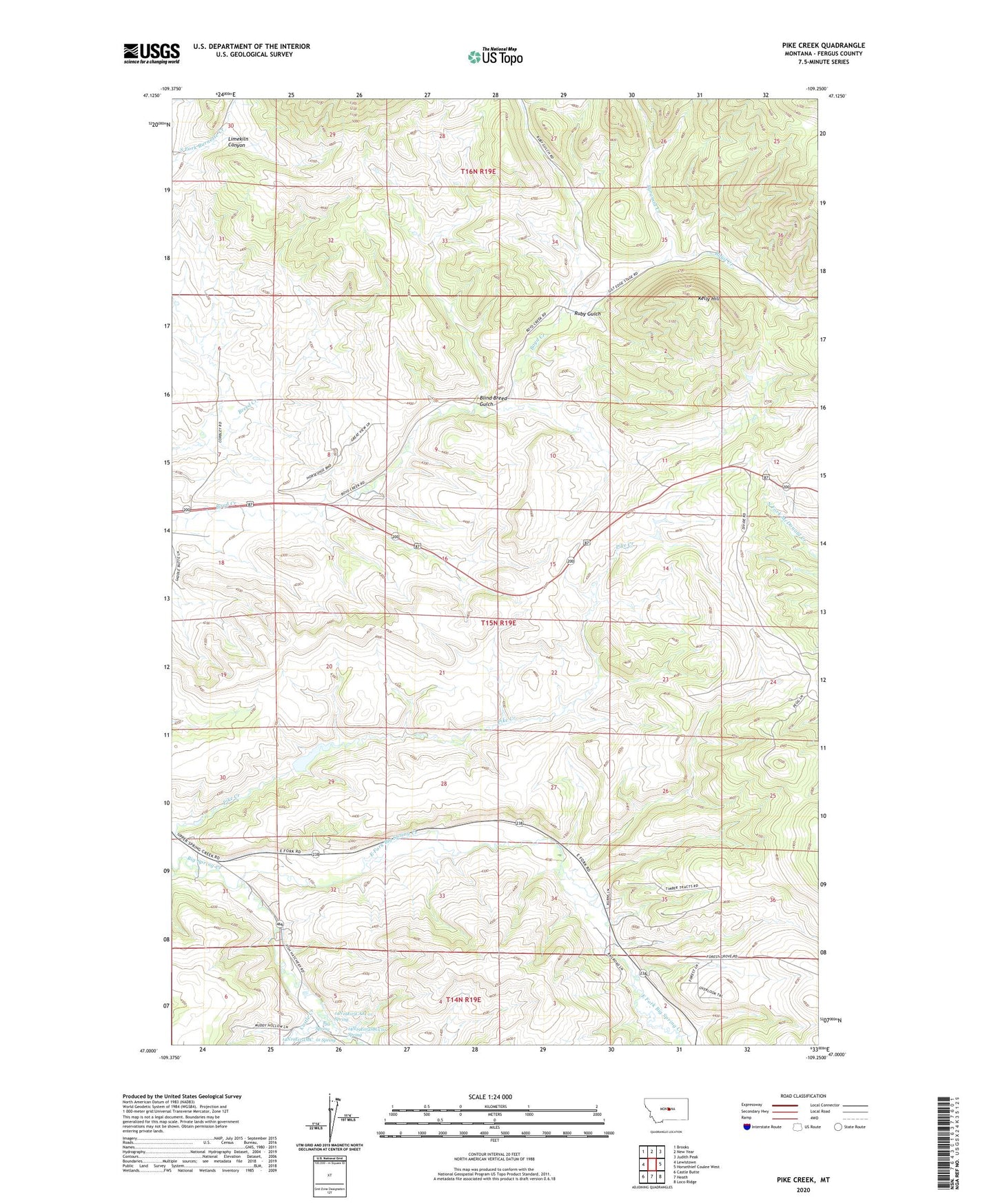
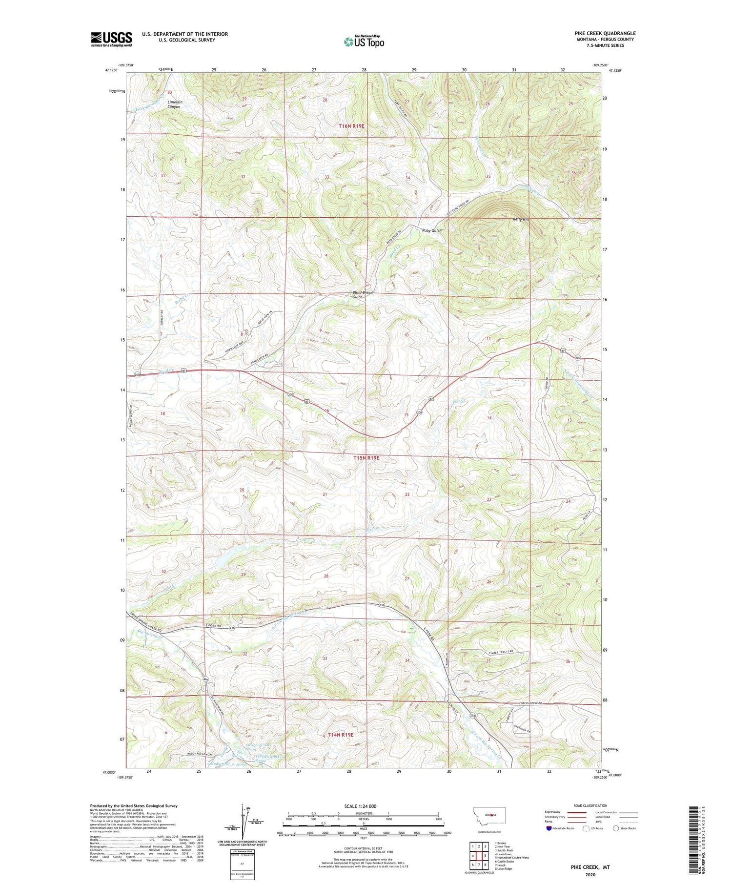
Pike Creek Montana US Topo Map
Couldn't load pickup availability
2024 topographic map quadrangle Pike Creek in the state of Montana. Scale: 1:24000. Based on the newly updated USGS 7.5' US Topo map series, this map is in the following counties: Fergus. The map contains contour data, water features, and other items you are used to seeing on USGS maps, but also has updated roads and other features. This is the next generation of topographic maps. Printed on high-quality waterproof paper with UV fade-resistant inks.
Quads adjacent to this one:
West: Lewistown
Northwest: Brooks
North: New Year
Northeast: Judith Peak
East: Horsethief Coulee West
Southeast: Loco Ridge
South: Heath
Southwest: Castle Butte
This map covers the same area as the classic USGS quad with code o47109a3.
Contains the following named places: 14N19E01CBAD01 Well, 14N19E05CAA_01 Spring, 14N19E05DBC_01 Spring, 14N19E05DBCC01 Spring, 15N19E08ACCA01 Well, 15N19E08CCBA01 Well, 15N19E08DCCA01 Well, 15N19E08DDA_01 Well, 15N19E09BABC01 Well, 15N19E17BABD01 Well, 15N19E17BBA_01 Well, 15N19E18CBBD01 Well, 15N19E24BC__01 Well, 15N19E25BDAB01 Well, 15N19E26BCBC01 Well, 15N19E30CCDA01 Well, 15N19E32CCC_01 Well, 15N19E35ACCB01 Well, 15N19E35BDBD01 Well, 15N19E35DACB01 Well, 15N19E35DBBC01 Well, 16N19E31CAA_01 Well, 16N19E34ADCA01 Well, 16N19E34ADCD01 Well, 16N19E34B___01 Well, Big Spring, Blind Breed Gulch, Box Springs, Boyd Creek School, Brown Coal Mine, Castle Creek, Corbley School, Corbly, Divide Coal Mine, Dunlap, East Fork Big Spring Creek, Hansen Creek, Heath Station, Judith School, Kelly Hill, Kiwanis Camp, Limekiln Canyon, Pike Creek, Pike Creek Dam, Pyramid Creek, Ruby Gulch, Ruby School, Skaggs Coal Mine


