MyTopo
Porphyry Reef Montana US Topo Map
Couldn't load pickup availability
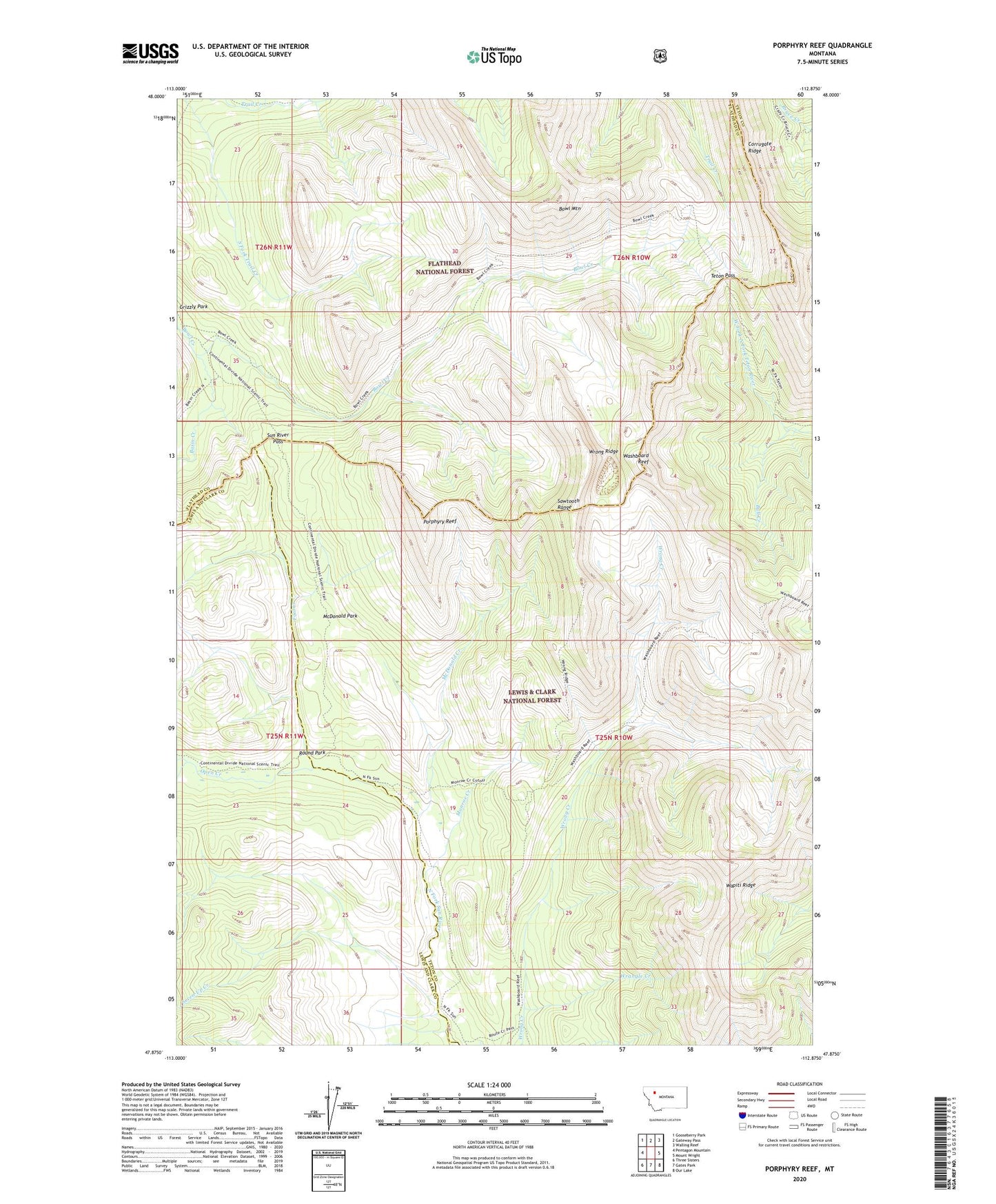
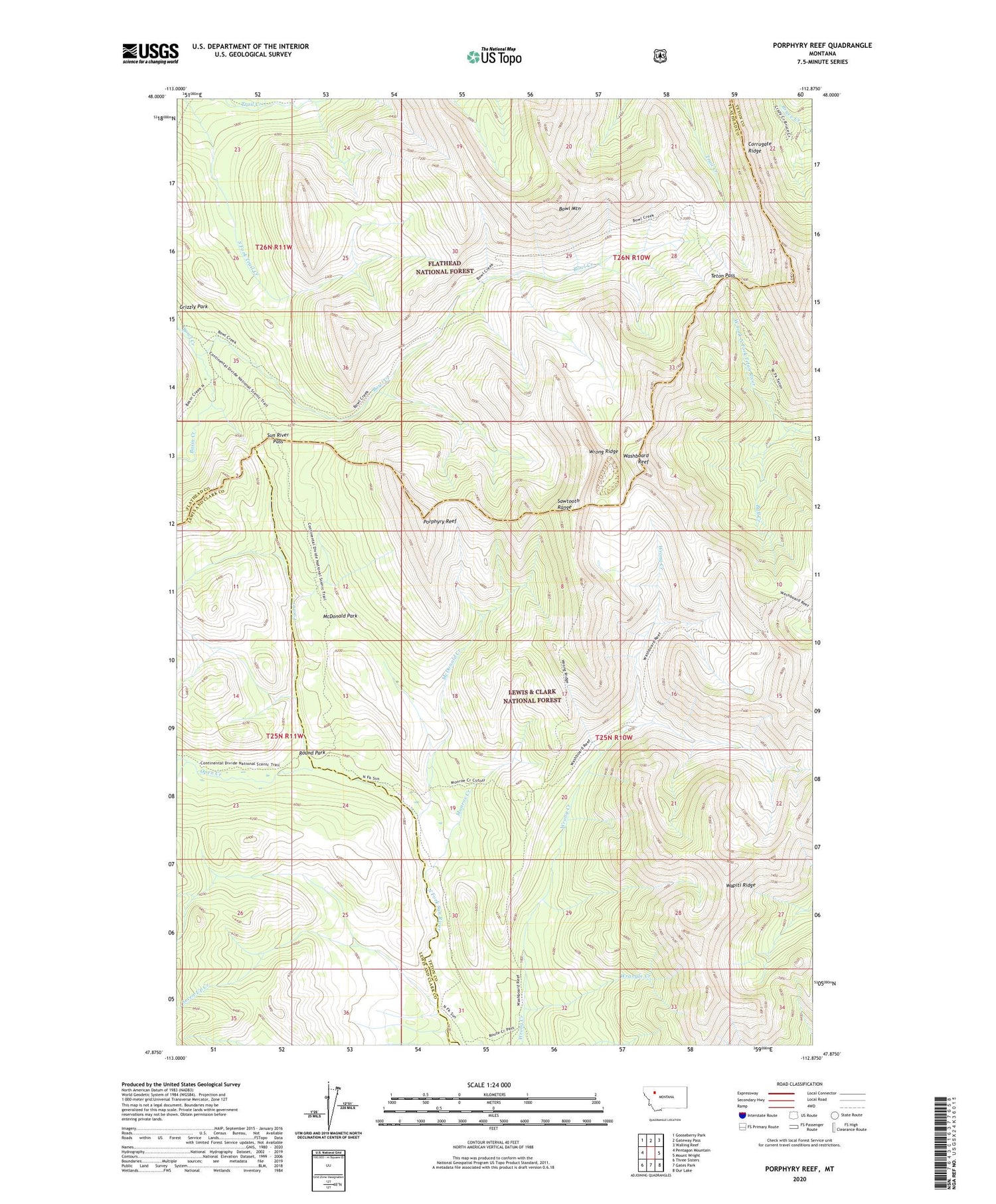
2020 topographic map quadrangle Porphyry Reef in the state of Montana. Scale: 1:24000. Based on the newly updated USGS 7.5' US Topo map series, this map is in the following counties: Teton, Flathead, Lewis and Clark. The map contains contour data, water features, and other items you are used to seeing on USGS maps, but also has updated roads and other features. This is the next generation of topographic maps. Printed on high-quality waterproof paper with UV fade-resistant inks.
Quads adjacent to this one:
West: Pentagon Mountain
Northwest: Gooseberry Park
North: Gateway Pass
Northeast: Walling Reef
East: Mount Wright
Southeast: Our Lake
South: Gates Park
Southwest: Three Sisters
Contains the following named places: Basin Creek, Bowl Mountain, Bull Creek, Fool Creek, McDonald Creek, McDonald Park, Monroe Creek, Open Creek, Porphyry Reef, Round Park, Seven-Up Creek, South Fork Open Creek, Sun River Pass, Teton Pass, Wapiti Ridge, Washboard Reef, Wrangle Creek, Wrong Creek Guard Station, Wrong Ridge