MyTopo
Quartz Ridge Montana US Topo Map
Couldn't load pickup availability
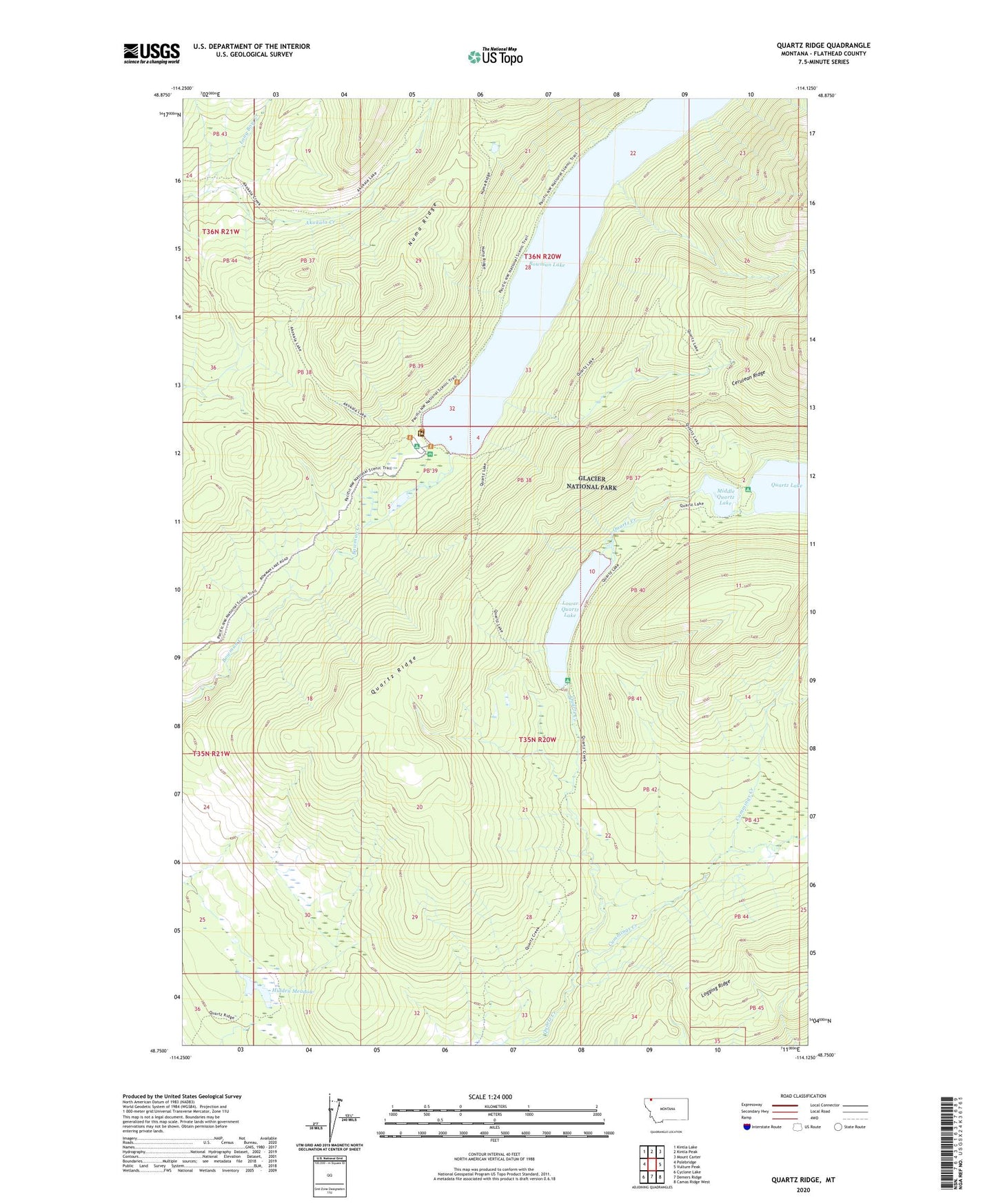
2024 topographic map quadrangle Quartz Ridge in the state of Montana. Scale: 1:24000. Based on the newly updated USGS 7.5' US Topo map series, this map is in the following counties: Flathead. The map contains contour data, water features, and other items you are used to seeing on USGS maps, but also has updated roads and other features. This is the next generation of topographic maps. Printed on high-quality waterproof paper with UV fade-resistant inks.
Quads adjacent to this one:
West: Polebridge
Northwest: Kintla Lake
North: Kintla Peak
Northeast: Mount Carter
East: Vulture Peak
Southeast: Camas Ridge West
South: Demers Ridge
Southwest: Cyclone Lake
This map covers the same area as the classic USGS quad with code o48114g2.
Contains the following named places: Akokala Lake Trail, Bowman Lake, Bowman Lake Campground, Bowman Lake Post Office, Cummings Creek, Hidden Meadow, Long Bow Creek, Lower Quartz Lake, Middle Quartz Lake, Numa Ridge Lookout Trail, Quartz Lake Trail, Quartz Ridge