MyTopo
Ramshorn Peak Montana US Topo Map
Couldn't load pickup availability
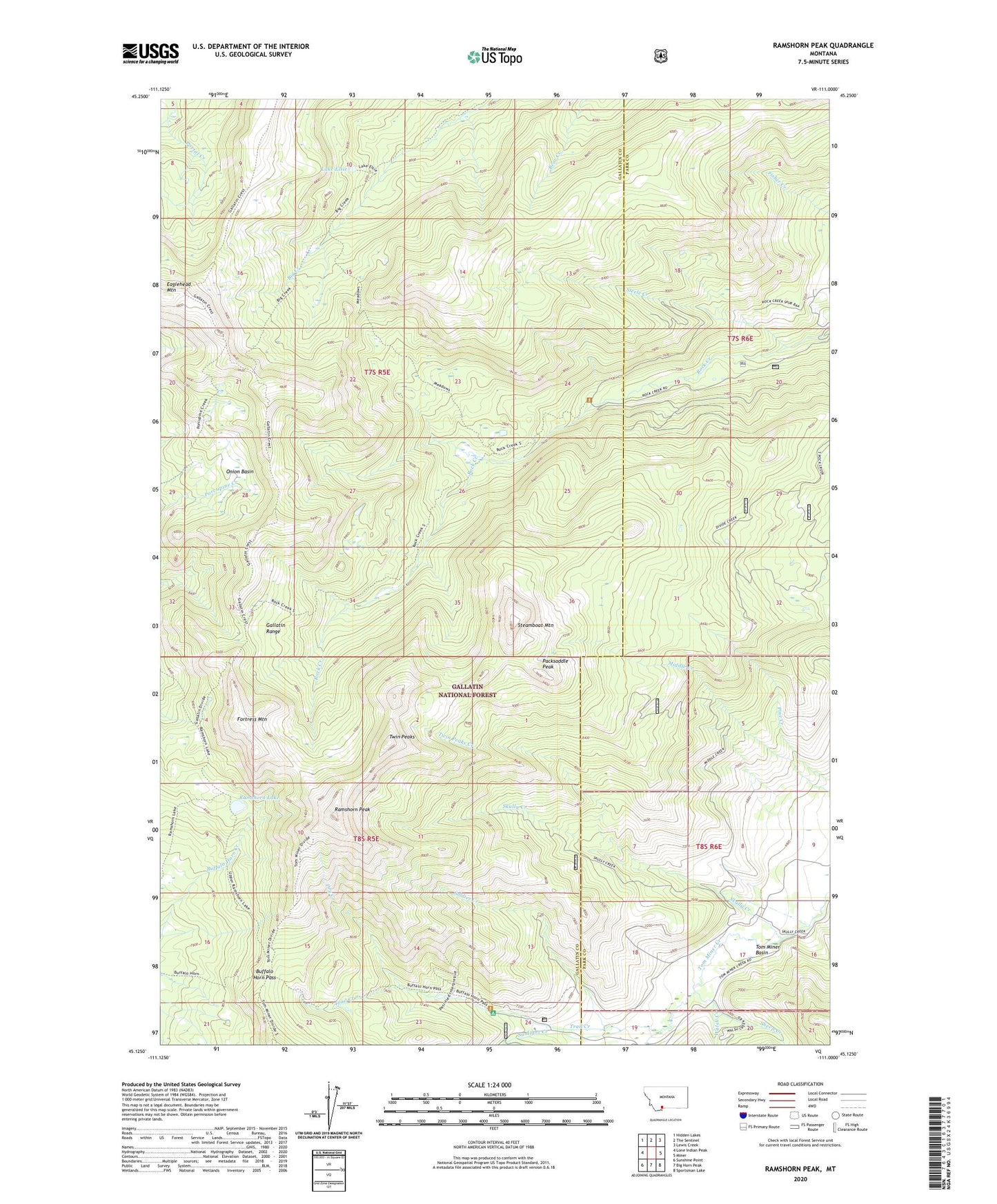
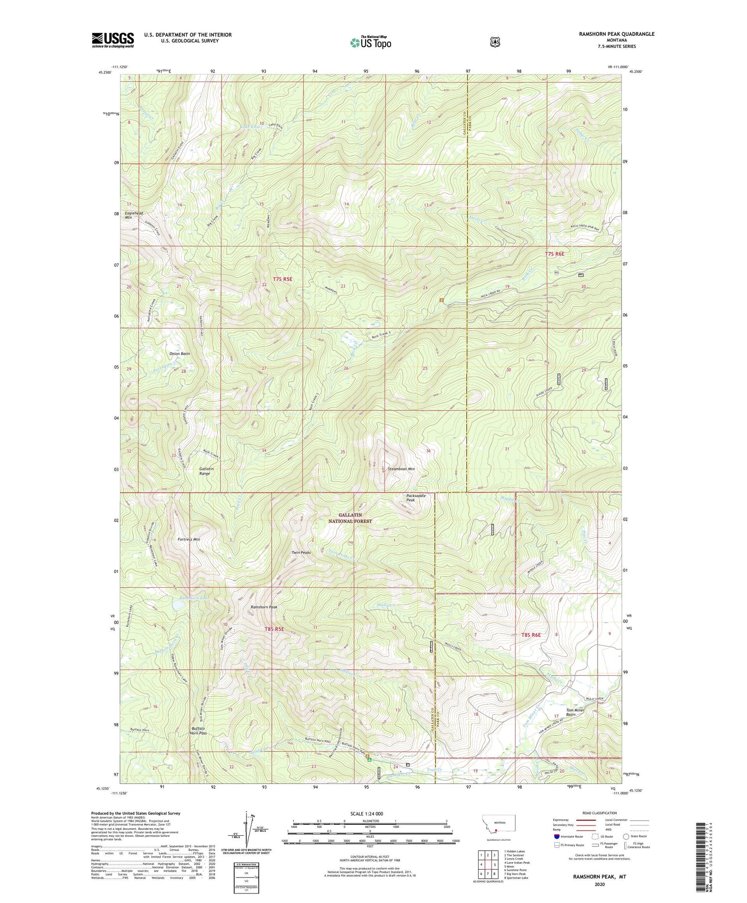
2020 topographic map quadrangle Ramshorn Peak in the state of Montana. Scale: 1:24000. Based on the newly updated USGS 7.5' US Topo map series, this map is in the following counties: Gallatin, Park. The map contains contour data, water features, and other items you are used to seeing on USGS maps, but also has updated roads and other features. This is the next generation of topographic maps. Printed on high-quality waterproof paper with UV fade-resistant inks.
Quads adjacent to this one:
West: Lone Indian Peak
Northwest: Hidden Lakes
North: The Sentinel
Northeast: Lewis Creek
East: Miner
Southeast: Sportsman Lake
South: Big Horn Peak
Southwest: Sunshine Point
Contains the following named places: Buffalo Horn Pass, Dry Creek, Eaglehead Mountain, Fortress Mountain, Lake Elsie, Onion Basin, Packsaddle Peak, Ramshorn Lake, Ramshorn Peak, Sheep Creek, Skully Creek, Soldier Creek, Steamboat Mountain, Steele Creek, Sunlight Creek, Tom Miner Campground, Trail Creek, Twin Peaks, Twin Peaks Creek, Walsh Creek