MyTopo
The Sentinel Montana US Topo Map
Couldn't load pickup availability
Also explore the The Sentinel Forest Service Topo of this same quad for updated USFS data
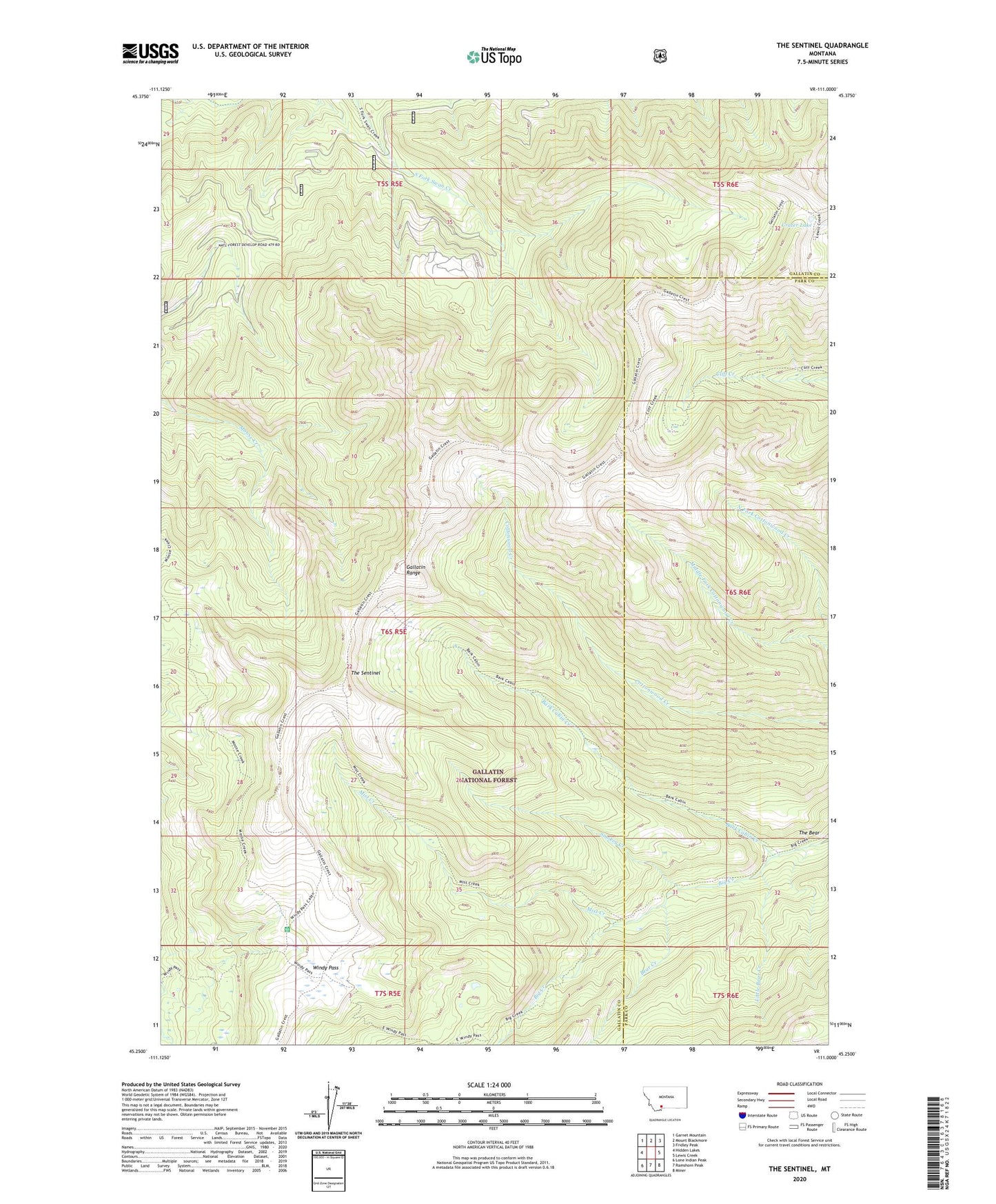
2024 topographic map quadrangle The Sentinel in the state of Montana. Scale: 1:24000. Based on the newly updated USGS 7.5' US Topo map series, this map is in the following counties: Gallatin, Park. The map contains contour data, water features, and other items you are used to seeing on USGS maps, but also has updated roads and other features. This is the next generation of topographic maps. Printed on high-quality waterproof paper with UV fade-resistant inks.
Quads adjacent to this one:
West: Hidden Lakes
Northwest: Garnet Mountain
North: Mount Blackmore
Northeast: Fridley Peak
East: Lewis Creek
Southeast: Miner
South: Ramshorn Peak
Southwest: Lone Indian Peak
This map covers the same area as the classic USGS quad with code o45111c1.
Contains the following named places: Bark Cabin Creek, Bear Creek, Crater Lake, Divide Trail, Gallatin Range, Little Bear Creek, Mist Creek, Smokey Creek, The Bear, The Sentinel, Windy Pass, Windy Pass Forest Service Station