MyTopo
Rancher Cemetery Montana US Topo Map
Couldn't load pickup availability
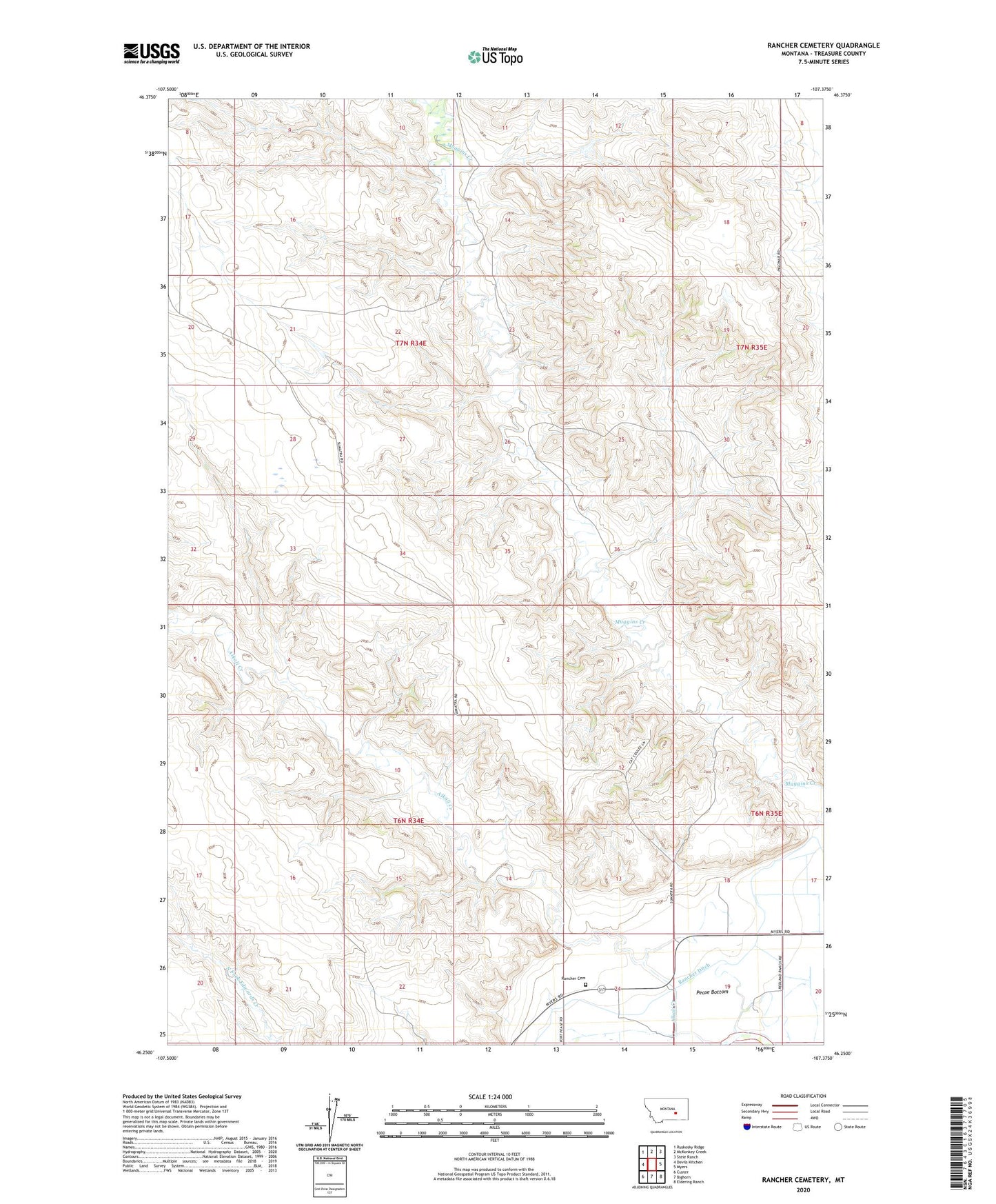
2024 topographic map quadrangle Rancher Cemetery in the state of Montana. Scale: 1:24000. Based on the newly updated USGS 7.5' US Topo map series, this map is in the following counties: Treasure. The map contains contour data, water features, and other items you are used to seeing on USGS maps, but also has updated roads and other features. This is the next generation of topographic maps. Printed on high-quality waterproof paper with UV fade-resistant inks.
Quads adjacent to this one:
West: Devils Kitchen
Northwest: Ruskosky Ridge
North: McKonkey Creek
Northeast: Steie Ranch
East: Myers
Southeast: Eldering Ranch
South: Bighorn
Southwest: Custer
This map covers the same area as the classic USGS quad with code o46107c4.
Contains the following named places: 06N34E01CBDC01 Well, 06N34E13DBCB01 Well, 06N35E07BAAC01 Well, 06N35E08BBA_01 Spring, 07N34E24DDDD01 Well, Alkali Creek School, Mouats School, North Treasure Division, Pease Bottom, Pine Ridge School, Rancher, Rancher Cemetery, Rancher Ditch, Rancher Post Office