MyTopo
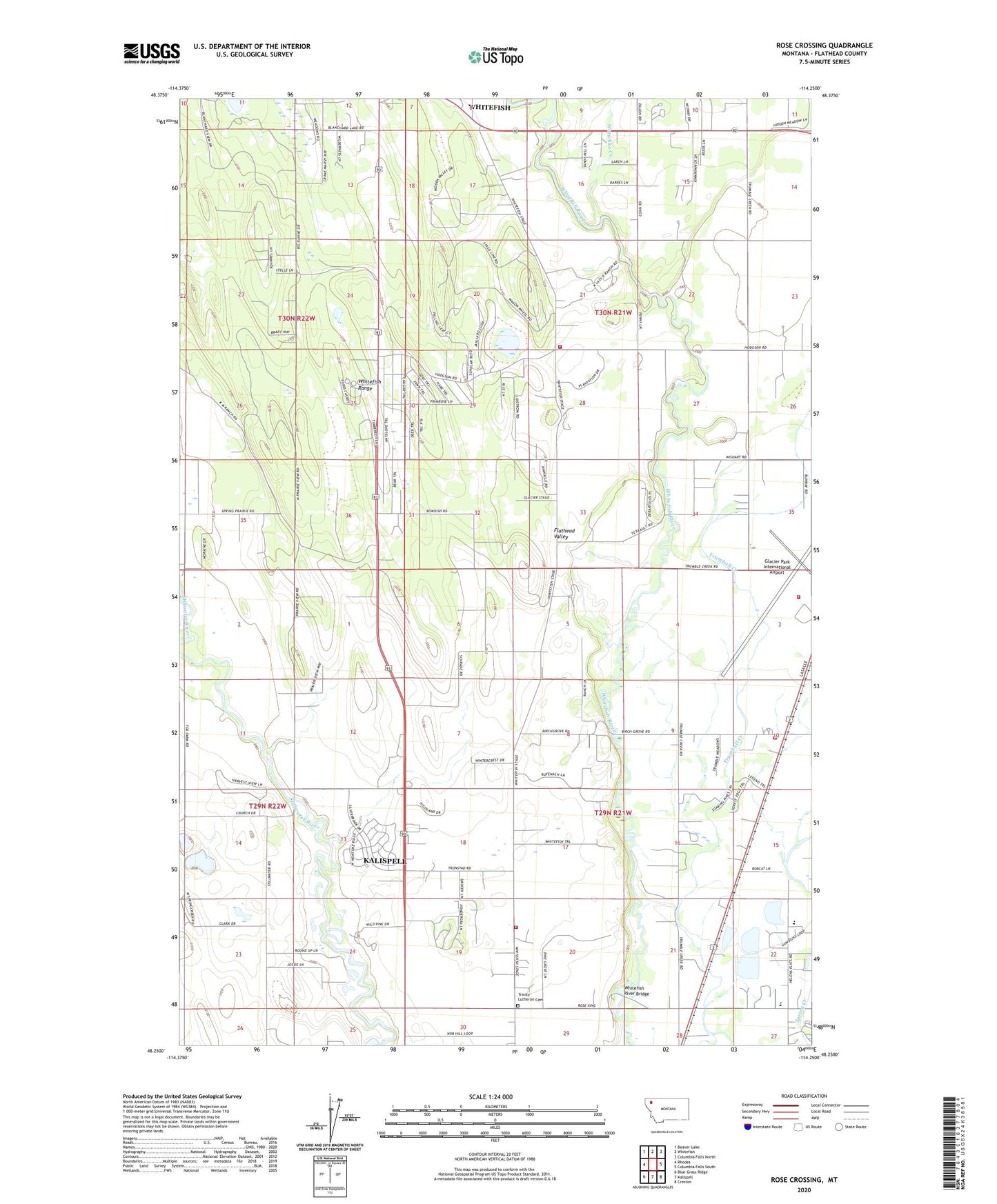
Rose Crossing Montana US Topo Map
Couldn't load pickup availability
Also explore the Rose Crossing Forest Service Topo of this same quad for updated USFS data
2024 topographic map quadrangle Rose Crossing in the state of Montana. Scale: 1:24000. Based on the newly updated USGS 7.5' US Topo map series, this map is in the following counties: Flathead. The map contains contour data, water features, and other items you are used to seeing on USGS maps, but also has updated roads and other features. This is the next generation of topographic maps. Printed on high-quality waterproof paper with UV fade-resistant inks.
Quads adjacent to this one:
West: Rhodes
Northwest: Beaver Lake
North: Whitefish
Northeast: Columbia Falls North
East: Columbia Falls South
Southeast: Creston
South: Kalispell
Southwest: Blue Grass Ridge
This map covers the same area as the classic USGS quad with code o48114c3.
Contains the following named places: 29N21W04AB__01 Well, 29N21W04BB__01 Well, 29N21W04CD__01 Well, 29N21W04DB__01 Well, 29N21W04DBDA01 Well, 29N21W05BA__01 Well, 29N21W05BA__02 Well, 29N21W05CB__01 Well, 29N21W05CD__01 Well, 29N21W05CD__02 Well, 29N21W06AA__01 Well, 29N21W06AA__02 Well, 29N21W06CB__01 Well, 29N21W06DB__01 Well, 29N21W06DC__01 Well, 29N21W07ADDD01 Well, 29N21W07CD__01 Well, 29N21W07DD__01 Well, 29N21W08AC__01 Well, 29N21W08BB__01 Well, 29N21W08BC__01 Well, 29N21W08BC__02 Well, 29N21W08BCCC01 Well, 29N21W08BD__01 Well, 29N21W08DBAA01 Well, 29N21W08DC__01 Well, 29N21W09BC__01 Well, 29N21W09BD__01 Well, 29N21W09DA__01 Well, 29N21W10AD__01 Well, 29N21W10BDCC01 Well, 29N21W10DD__01 Well, 29N21W15CD__01 Well, 29N21W15CD__02 Well, 29N21W16BA__01 Well, 29N21W17AB__01 Well, 29N21W17BA__01 Well, 29N21W17BB__01 Well, 29N21W17BB__02 Well, 29N21W17CC__02 Well, 29N21W17CCDB01 Well, 29N21W18DD__01 Well, 29N21W19BA__01 Well, 29N21W19CB__01 Well, 29N21W19CB__02 Well, 29N21W19CCAA01 Well, 29N21W19DA__01 Well, 29N21W19DC__01 Well, 29N21W20BB__01 Well, 29N21W20BC__01 Well, 29N21W20CCCC01 Well, 29N21W21ADBA01 Well, 29N21W21ADBA02 Well, 29N21W21BD__01 Well, 29N21W21CD__01 Well, 29N21W21CD__02 Well, 29N21W22AA__01 Well, 29N21W22ABBB01 Well, 29N21W22CAAD01 Well, 29N21W22DC__01 Well, 29N21W26BA__01 Well, 29N21W28BD__01 Well, 29N22W01DA__01 Well, 29N22W02AAAC01 Well, 29N22W11DD__01 Well, 29N22W12BC__01 Well, 29N22W12DA__01 Well, 29N22W13BA__01 Well, 29N22W13BB__01 Well, 29N22W13DD__01 Well, 29N22W13DD__02 Well, 29N22W14BBDD01 Well, 29N22W23BA__01 Well, 29N22W24CA__01 Well, 29N22W24DD__01 Well, 30N21W09DD__01 Well, 30N21W10DD__01 Well, 30N21W10DD__02 Well, 30N21W14CA__01 Well, 30N21W14CA__02 Well, 30N21W15BA__01 Well, 30N21W15BBAA01 Well, 30N21W15BBAD01 Well, 30N21W15CD__01 Well, 30N21W15DA__01 Well, 30N21W16BD__01 Well, 30N21W16DA__01 Well, 30N21W17AB__01 Well, 30N21W17AD__01 Well, 30N21W21CA__01 Well, 30N21W21CBAD01 Well, 30N21W21DD__01 Well, 30N21W22AA__01 Well, 30N21W22CDDC01 Well, 30N21W22DC__01 Well, 30N21W26BA__01 Well, 30N21W26CCDD01 Well, 30N21W27BB__01 Well, 30N21W27DA__01 Well, 30N21W28BA__01 Well, 30N21W28BA__02 Well, 30N21W28CA__01 Well, 30N21W28CD__01 Well, 30N21W30AADC01 Well, 30N21W30ADAD01 Well, 30N21W30DAA_01 Well, 30N21W32CD__01 Well, 30N21W33CA__01 Well, 30N21W34CB__01 Well, 30N21W34DA__01 Well, 30N21W34DC__01 Well, 30N21W35BA__01 Well, 30N21W35BC__01 Well, 30N22W12DD__01 Well, 30N22W12DD__02 Well, 30N22W13AB__01 Well, 30N22W13DA__01 Well, 30N22W13DD__01 Well, 30N22W25AACC01 Well, 30N22W25DAB_01 Well, 30N22W26CC__01 Well, 30N22W26CDAD01 Well, All Saints' Episcopal Church, Birch Grove School, Evergreen Fire Rescue Station 82, Flathead County Landfill, Forest Acres Mobile Home Park, Glacier Park International Airport, Glacier Park International Airport Fire Department Station 292, Halfmoon School, Helena Flats School, Hill Post Office, Midway Grange, Motichka Creek, Pine Grove School, Rahn Airport, Rocky Mountain 'Hi' Campground, Rose Crossing, Trinity Lutheran Cemetery, Valley Adventist School, W Y and S, West Valley Volunteer Fire and Rescue Station 2, Whitefish Fire Department Station 22, Whitefish KOA and Chuckwagon, Whitefish River Bridge, Whitefish River Fishing Access Site


