MyTopo
Ryegate East Montana US Topo Map
Couldn't load pickup availability
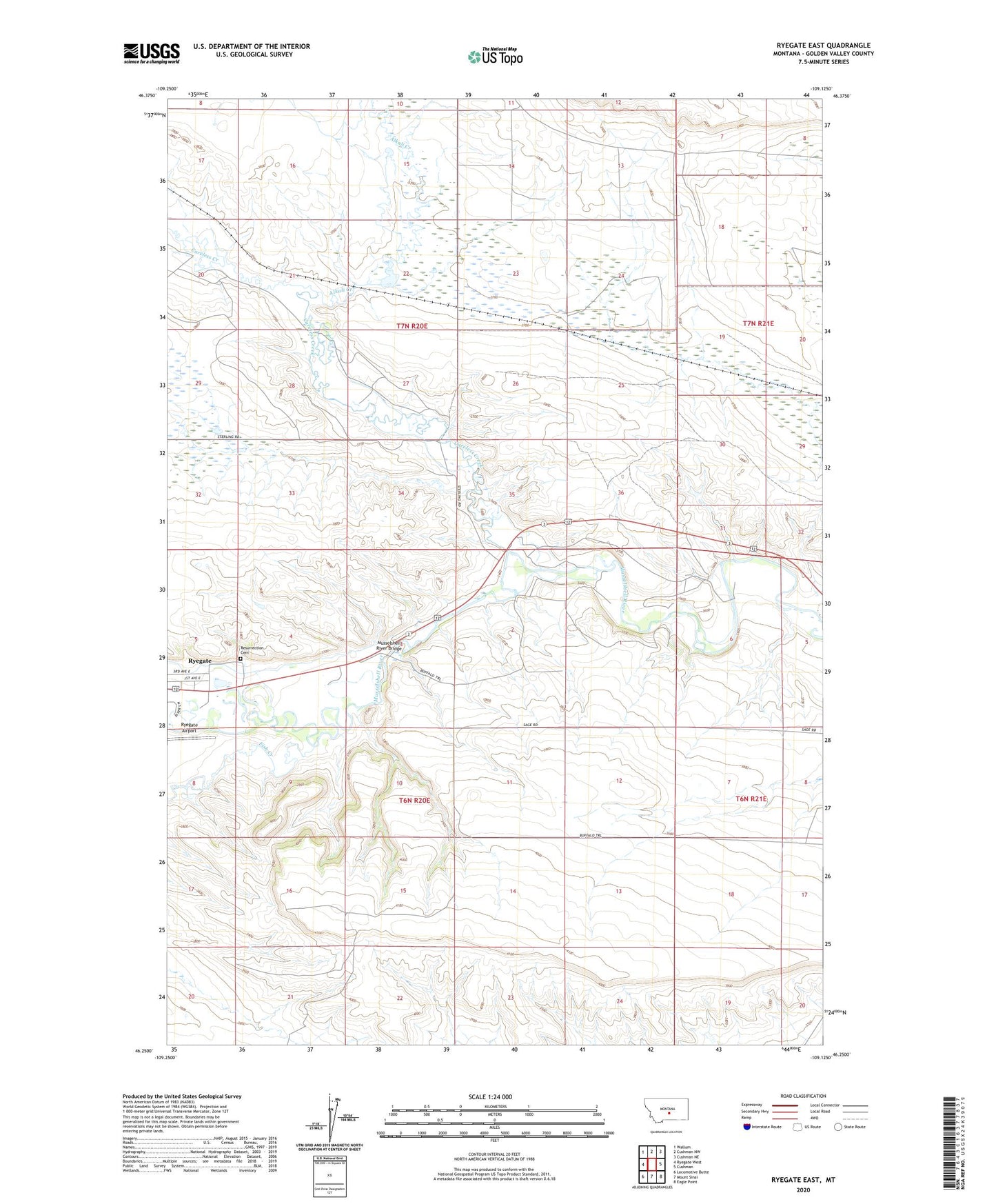
2024 topographic map quadrangle Ryegate East in the state of Montana. Scale: 1:24000. Based on the newly updated USGS 7.5' US Topo map series, this map is in the following counties: Golden Valley. The map contains contour data, water features, and other items you are used to seeing on USGS maps, but also has updated roads and other features. This is the next generation of topographic maps. Printed on high-quality waterproof paper with UV fade-resistant inks.
Quads adjacent to this one:
West: Ryegate West
Northwest: Wallum
North: Cushman NW
Northeast: Cushman NE
East: Cushman
Southeast: Eagle Point
South: Mount Sinai
Southwest: Locomotive Butte
This map covers the same area as the classic USGS quad with code o46109c2.
Contains the following named places: 06N20E02DAAA01 Well, 06N20E12BAD_01 Well, Alkali Creek, Careless Creek, Fish Creek, Musselshell River Bridge, Resurrection Cemetery, Rock Springs