MyTopo
Saint Xavier Montana US Topo Map
Couldn't load pickup availability
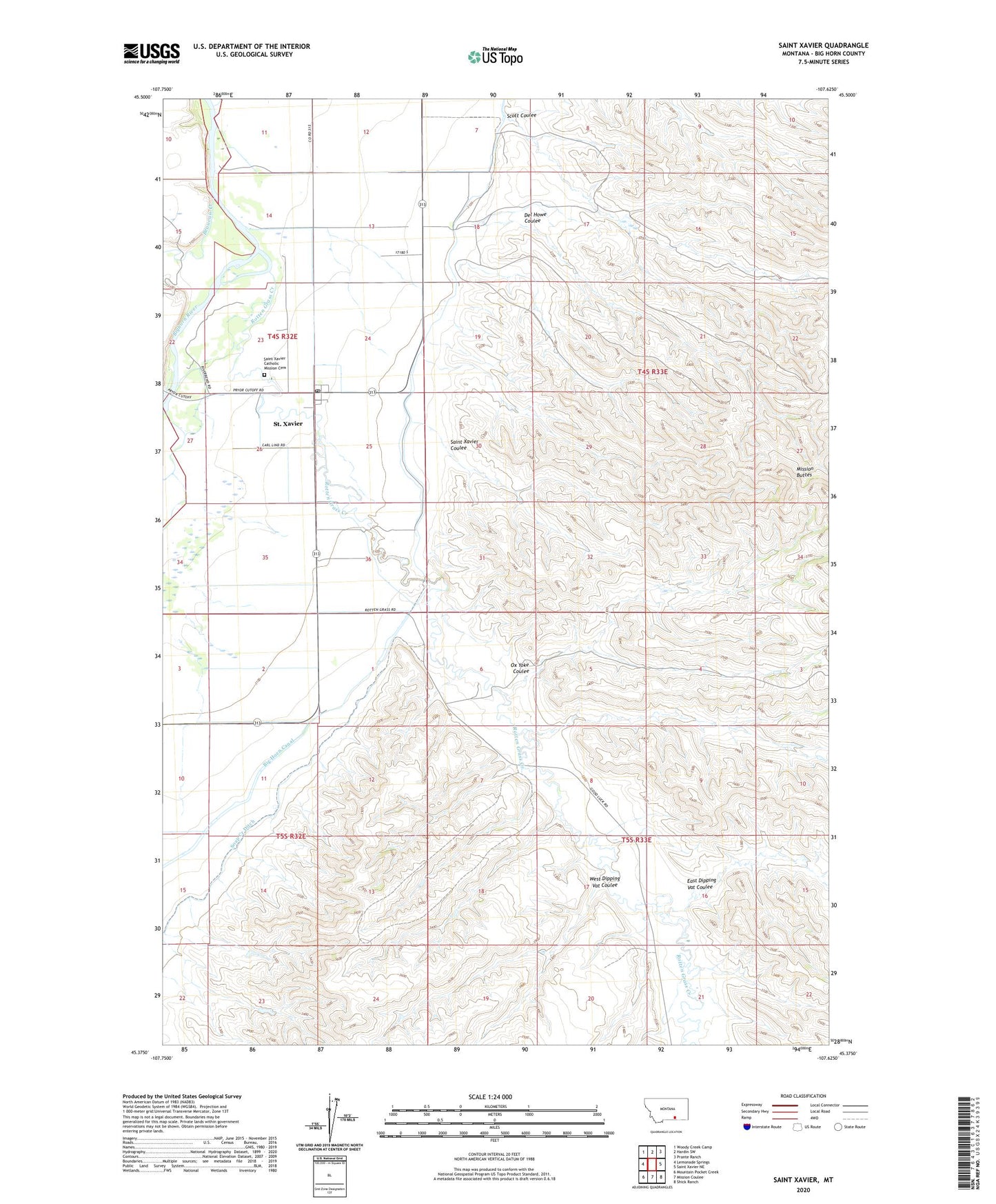
2024 topographic map quadrangle Saint Xavier in the state of Montana. Scale: 1:24000. Based on the newly updated USGS 7.5' US Topo map series, this map is in the following counties: Big Horn. The map contains contour data, water features, and other items you are used to seeing on USGS maps, but also has updated roads and other features. This is the next generation of topographic maps. Printed on high-quality waterproof paper with UV fade-resistant inks.
Quads adjacent to this one:
West: Lemonade Springs
Northwest: Woody Creek Camp
North: Hardin SW
Northeast: Prante Ranch
East: Saint Xavier NE
Southeast: Shick Ranch
South: Mission Coulee
Southwest: Mountain Pocket Creek
This map covers the same area as the classic USGS quad with code o45107d6.
Contains the following named places: 04S32E23ACDB01 Well, 04S32E23DC__02 Well, 04S32E23DCAD01 Well, 04S32E26BDD_01 Well, 04S32E35AAAA01 Well, 04S32E36BDD_01 Well, 05S32E11BBB_01 Well, Beauvais Creek, Big Horn Canal, Crow Reservation, Del Howe Coulee, East Dipping Vat Coulee, Mission Buttes, Ox Yoke Coulee, Pretty Eagle Catholic School, Rotten Grass Creek, Saint Francis Xavier Catholic Church, Saint Johns Lutheran Church, Saint Xavier, Saint Xavier Catholic Mission Cemetery, Saint Xavier Census Designated Place, Saint Xavier Coulee, Saint Xavier Post Office, Saint Xavier Public School, Scott Coulee, Soap Creek Ditch, West Dipping Vat Coulee