MyTopo
Saint Xavier NE Montana US Topo Map
Couldn't load pickup availability
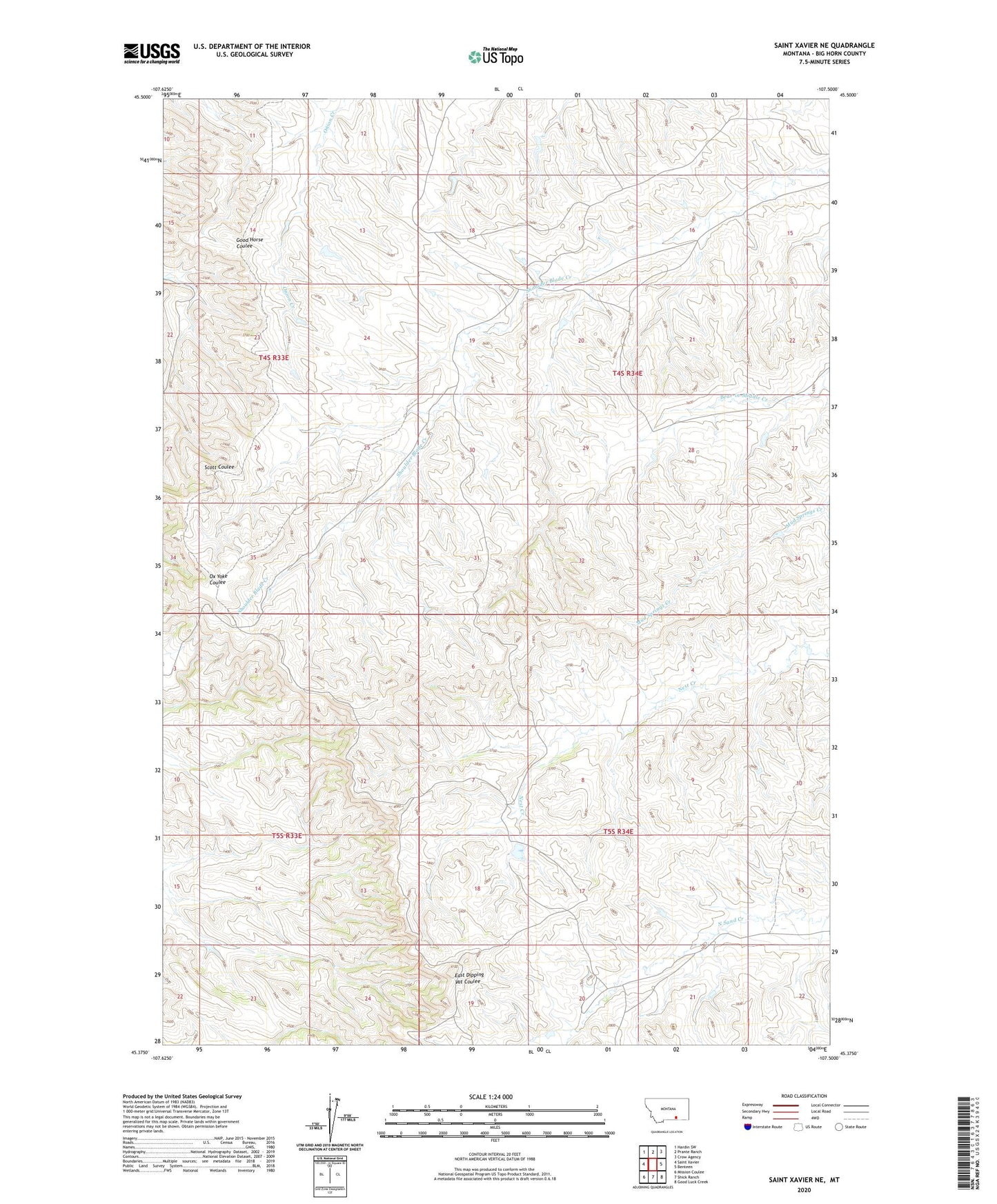
2024 topographic map quadrangle Saint Xavier NE in the state of Montana. Scale: 1:24000. Based on the newly updated USGS 7.5' US Topo map series, this map is in the following counties: Big Horn. The map contains contour data, water features, and other items you are used to seeing on USGS maps, but also has updated roads and other features. This is the next generation of topographic maps. Printed on high-quality waterproof paper with UV fade-resistant inks.
Quads adjacent to this one:
West: Saint Xavier
Northwest: Hardin SW
North: Prante Ranch
Northeast: Crow Agency
East: Benteen
Southeast: Good Luck Creek
South: Shick Ranch
Southwest: Mission Coulee
This map covers the same area as the classic USGS quad with code o45107d5.
Contains the following named places: Crow Number 46 Dam, Crow Number 47 Dam, Crow Number 53 Dam, Shoulder Blade Camp