MyTopo
Shonkin NW Montana US Topo Map
Couldn't load pickup availability
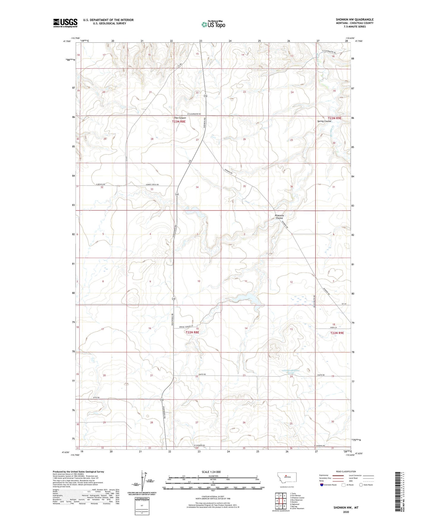
2024 topographic map quadrangle Shonkin NW in the state of Montana. Scale: 1:24000. Based on the newly updated USGS 7.5' US Topo map series, this map is in the following counties: Chouteau. The map contains contour data, water features, and other items you are used to seeing on USGS maps, but also has updated roads and other features. This is the next generation of topographic maps. Printed on high-quality waterproof paper with UV fade-resistant inks.
Quads adjacent to this one:
West: Rice Reservoir
Northwest: Tunis
North: Fort Benton
East: Shonkin
Southeast: Carter Mountain
South: Big Sag
Southwest: Highwood
This map covers the same area as the classic USGS quad with code o47110f6.
Contains the following named places: 22N08E04DDBB04 Well, 22N08E22DDBB04 Well, 22N08E24BDDD01 Spring, 22N08E25AACC02 Well, 22N08E34AABB01 Well, 23N08E22DDDC01 Well, Booth Dam, Bramlette Dam, Hanford Dam, Nine Mile, Nine Mile School, Ninemile Coulee, Spring Coulee, Yemen, Yemen Post Office