MyTopo
Garnet Mountain Montana US Topo Map
Couldn't load pickup availability
Also explore the Garnet Mountain Forest Service Topo of this same quad for updated USFS data
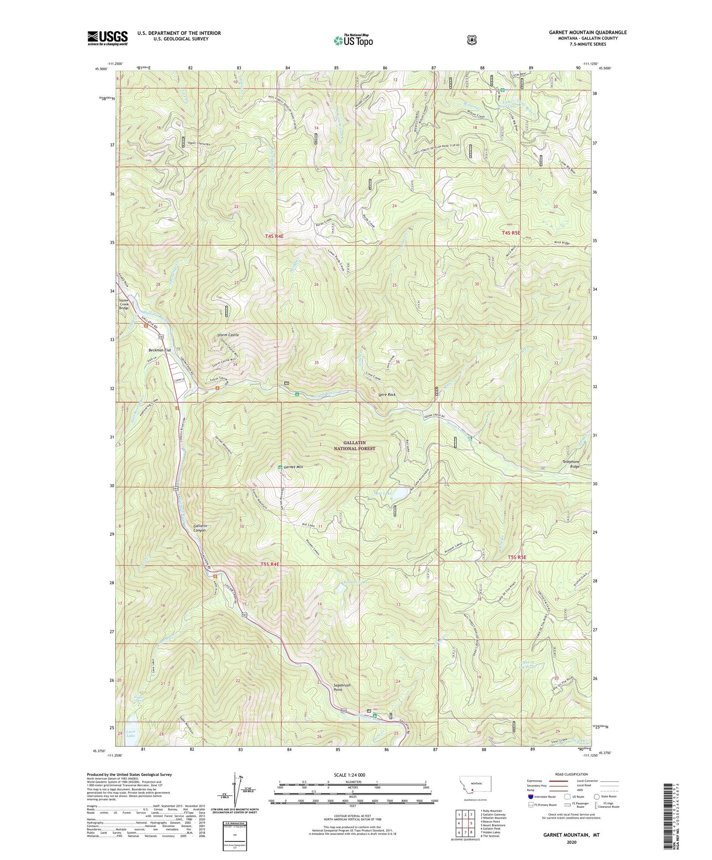
2024 topographic map quadrangle Garnet Mountain in the state of Montana. Scale: 1:24000. Based on the newly updated USGS 7.5' US Topo map series, this map is in the following counties: Gallatin. The map contains contour data, water features, and other items you are used to seeing on USGS maps, but also has updated roads and other features. This is the next generation of topographic maps. Printed on high-quality waterproof paper with UV fade-resistant inks.
Quads adjacent to this one:
West: Beacon Point
Northwest: Ruby Mountain
North: Gallatin Gateway
Northeast: Wheeler Mountain
East: Mount Blackmore
Southeast: The Sentinel
South: Hidden Lakes
Southwest: Gallatin Peak
This map covers the same area as the classic USGS quad with code o45111d2.
Contains the following named places: Avalanche-Spire Rock Camp, Beckman Flat, Burnt Creek, Cascade Creek, Cascade Creek Summer Homes, Cave Creek, Gallatin Canyon, Garnet Mountain, Greek Creek, Greek Creek Camp, Hell Roaring Creek, Hoodoo Cascade, Lake of the Pines, Lava Lake, Lime Creek, Line Creek, Little Bear Forest Service Station, Little Bear Lake, Logger Creek, Mica Creek, Mica Creek Mine, Mica Mine, Old Trail Bridge, Pioneer Lakes, Purdy Creek, Rat Lake, Sagebrush Point, Shenango Creek, Shenango Ranger Station, Smith Creek, Spire Rock, Spire Rock Campground, Squaw Creek Bridge, Storm Castle, Storm Castle Creek, Thumper Mica Mine, West Creek