MyTopo
Trout Creek Montana US Topo Map
Couldn't load pickup availability
Also explore the Trout Creek Forest Service Topo of this same quad for updated USFS data
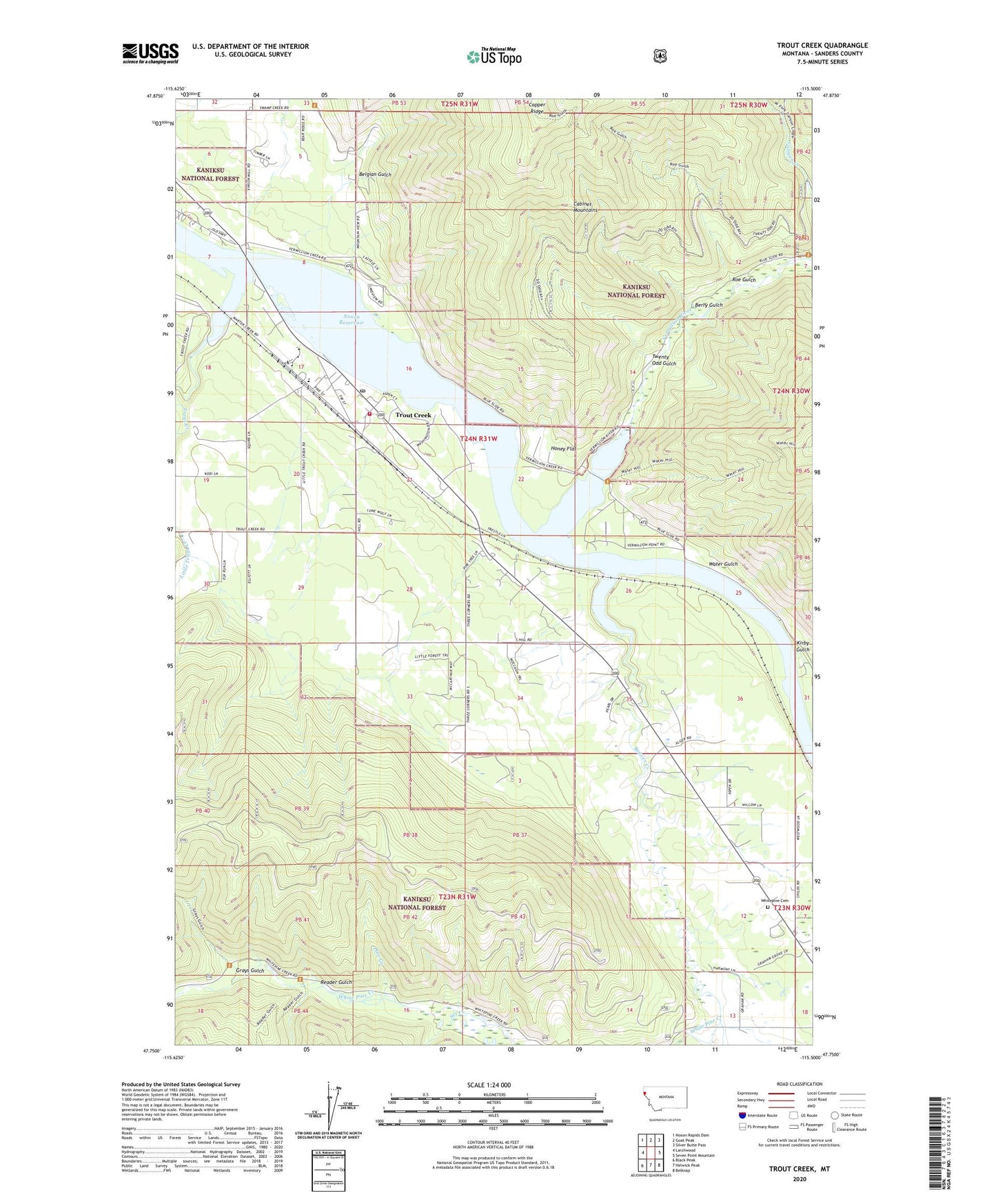
2024 topographic map quadrangle Trout Creek in the state of Montana. Scale: 1:24000. Based on the newly updated USGS 7.5' US Topo map series, this map is in the following counties: Sanders. The map contains contour data, water features, and other items you are used to seeing on USGS maps, but also has updated roads and other features. This is the next generation of topographic maps. Printed on high-quality waterproof paper with UV fade-resistant inks.
Quads adjacent to this one:
West: Larchwood
Northwest: Noxon Rapids Dam
North: Goat Peak
Northeast: Silver Butte Pass
East: Seven Point Mountain
Southeast: Belknap
South: Helwick Peak
Southwest: Black Peak
This map covers the same area as the classic USGS quad with code o47115g5.
Contains the following named places: 24N31W05BCBA01 Well, 24N31W07AA__01 Well, 24N31W17DBAA01 Well, 24N31W17DDDC01 Well, 59874, Alger, Alger Post Office, Beaver Creek, Belgian Gulch, Berry Gulch, Canyon Creek, Copper Ridge, Grays Gulch, Honey Flat, Kirby Gulch, Larchwood, Larchwood Post Office, North Shore Campground, Pine Creek, Reader Gulch, Roe Gulch, Schulder, Set Creek, Thompson Falls-West End Division, Trout Creek, Trout Creek Census Designated Place, Trout Creek Community Church, Trout Creek Community Clinic, Trout Creek Elementary School, Trout Creek Motel and RV Park, Trout Creek Post Office, Trout Creek Rural Fire Department, Twenty Odd, Twenty Odd Gulch, Vermilion Post Office, Vermilion River, Water Gulch, West Fork Canyon Creek, White Pine Creek, White Pine Ridge Trail, Whitepine Cemetery