MyTopo
Verona Montana US Topo Map
Couldn't load pickup availability
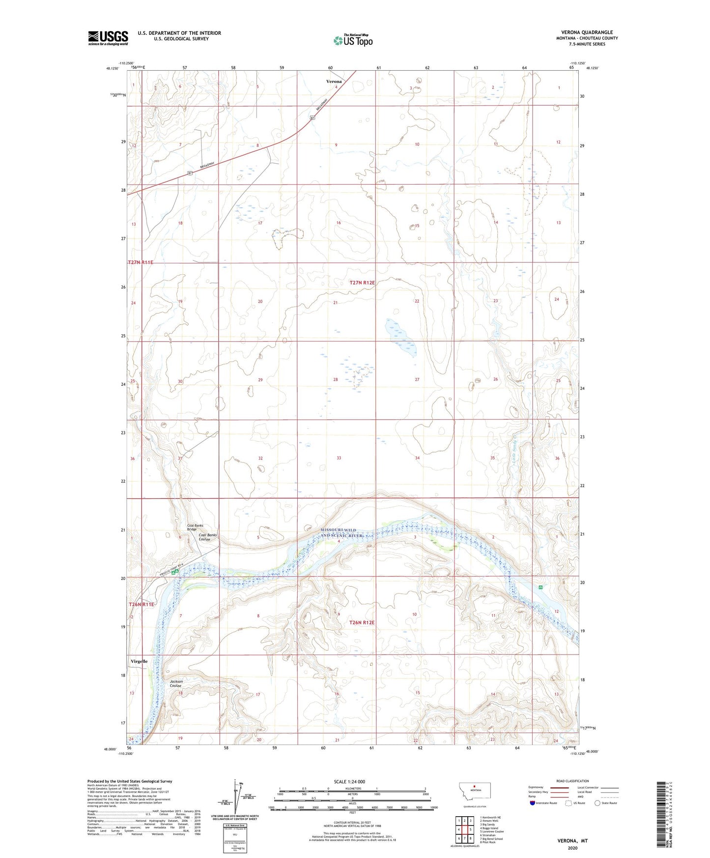
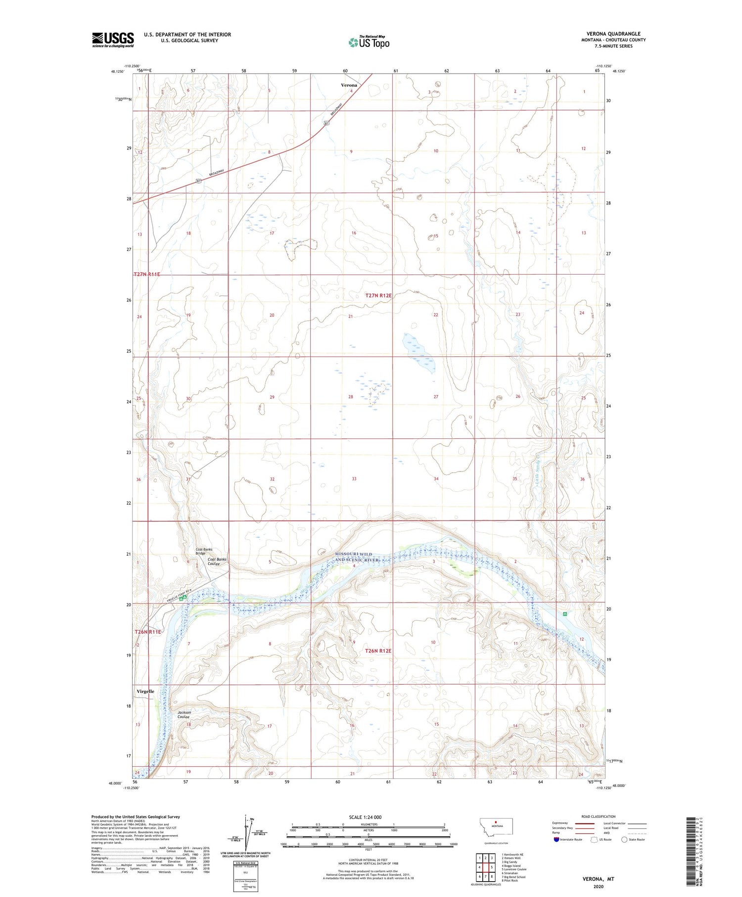
2020 topographic map quadrangle Verona in the state of Montana. Scale: 1:24000. Based on the newly updated USGS 7.5' US Topo map series, this map is in the following counties: Chouteau. The map contains contour data, water features, and other items you are used to seeing on USGS maps, but also has updated roads and other features. This is the next generation of topographic maps. Printed on high-quality waterproof paper with UV fade-resistant inks.
Quads adjacent to this one:
West: Boggs Island
Northwest: Kenilworth NE
North: Ihmsen Well
Northeast: Big Sandy
East: Lonetree Coulee
Southeast: Pilot Rock
South: Big Bend School
Southwest: Stranahan
Contains the following named places: Cairo, Coal Banks Bridge, Coal Banks Coulee, Coal Banks Landing, Coalbanks Campground, Coalbanks Recreation Area, Jackson Coulee, Knottnerus Dam, Little Sandy Creek, Rattlesnake Coulee, Turk Dam, Verona, Verona Post Office, Verona School