MyTopo
Vulture Peak Montana US Topo Map
Couldn't load pickup availability
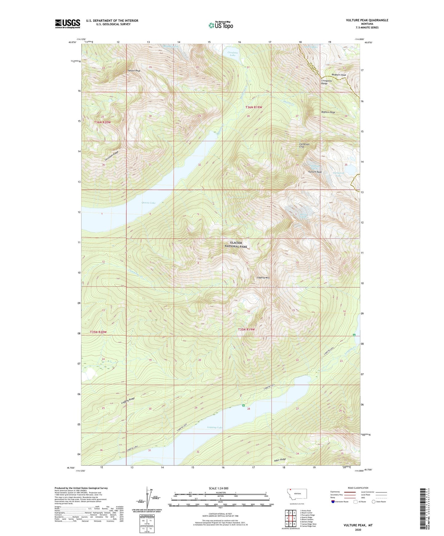
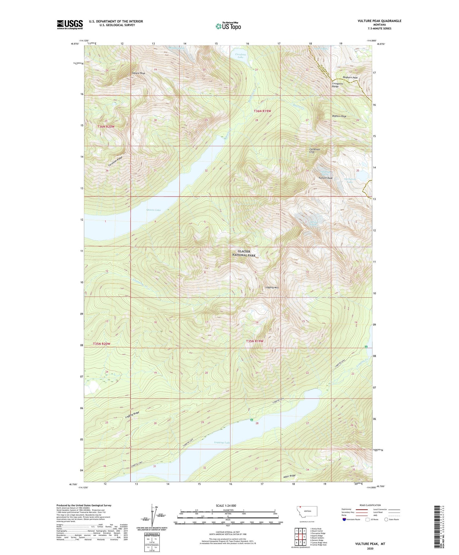
2020 topographic map quadrangle Vulture Peak in the state of Montana. Scale: 1:24000. Based on the newly updated USGS 7.5' US Topo map series, this map is in the following counties: Flathead, Glacier. The map contains contour data, water features, and other items you are used to seeing on USGS maps, but also has updated roads and other features. This is the next generation of topographic maps. Printed on high-quality waterproof paper with UV fade-resistant inks.
Quads adjacent to this one:
West: Quartz Ridge
Northwest: Kintla Peak
North: Mount Carter
Northeast: Porcupine Ridge
East: Mount Geduhn
Southeast: Camas Ridge East
South: Camas Ridge West
Southwest: Demers Ridge
Contains the following named places: Bighorn Peak, Carnelian Cliff, Cerulean Lake, Cerulean Ridge, Gyrfalcon Lake, Logging Lake, Logging Mountain, Logging Ridge, Quartz Lake, Rainbow Creek, Redhorn Peak, Square Peak, Two Ocean Glacier, Vulture Glacier, Vulture Peak