MyTopo
Wild Horse Parks Montana US Topo Map
Couldn't load pickup availability
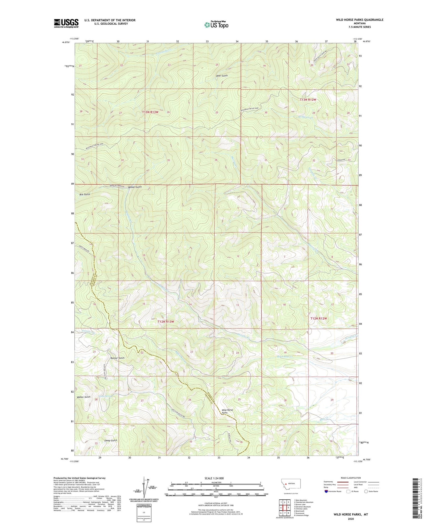
2024 topographic map quadrangle Wild Horse Parks in the state of Montana. Scale: 1:24000. Based on the newly updated USGS 7.5' US Topo map series, this map is in the following counties: Powell, Granite. The map contains contour data, water features, and other items you are used to seeing on USGS maps, but also has updated roads and other features. This is the next generation of topographic maps. Printed on high-quality waterproof paper with UV fade-resistant inks.
Quads adjacent to this one:
West: Elevation Mountain
Northwest: Bata Mountain
North: Chamberlain Mountain
Northeast: Browns Lake
East: Chimney Lakes
Southeast: Limestone Ridge
South: Drummond
Southwest: Bearmouth
This map covers the same area as the classic USGS quad with code o46113g2.
Contains the following named places: Bilk Gulch, Manley Number 1 Dam, Nelson Spring, Weasel Gulch, Wild Horse Parks