MyTopo
Albion East Nebraska US Topo Map
Couldn't load pickup availability
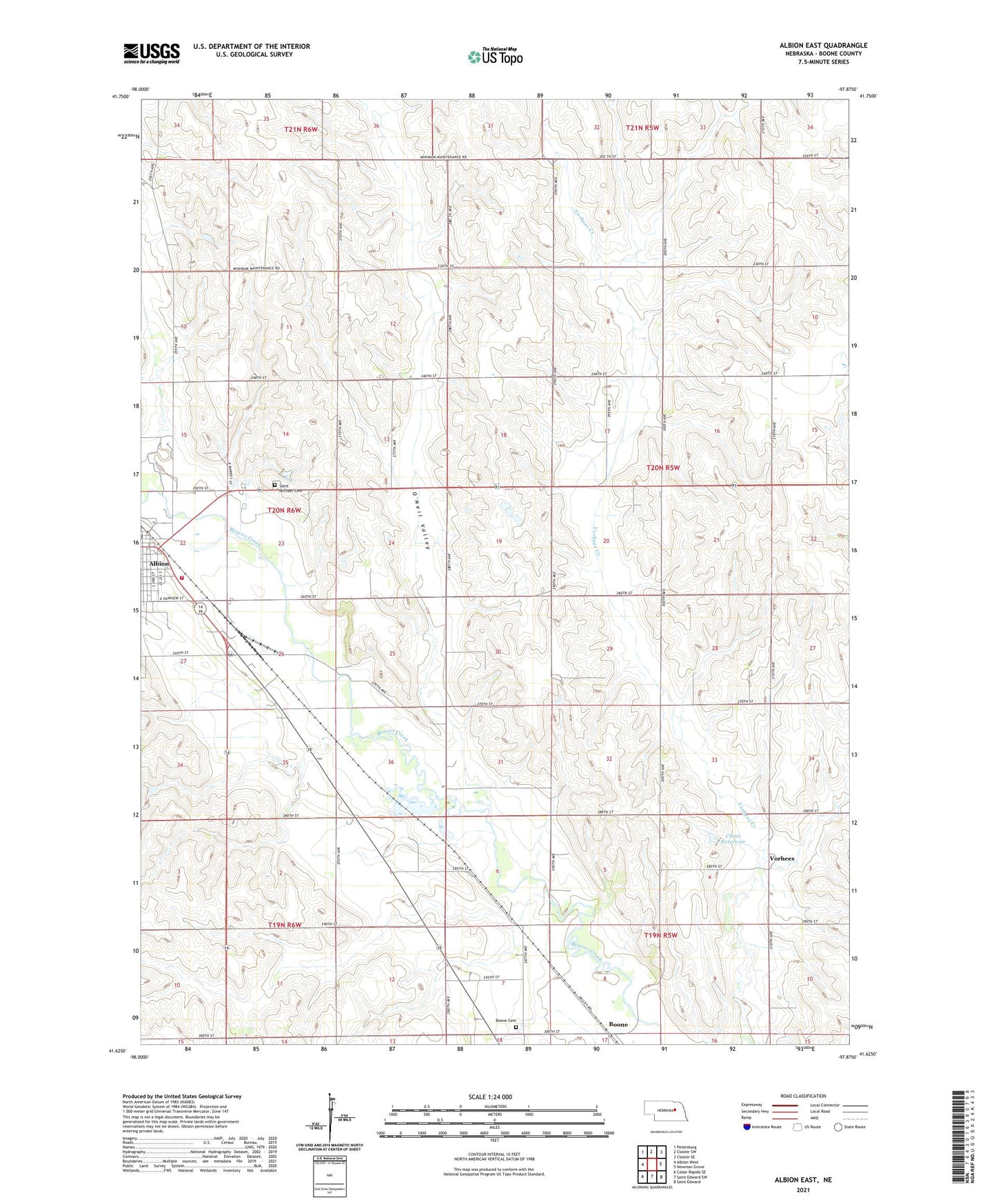
2021 topographic map quadrangle Albion East in the state of Nebraska. Scale: 1:24000. Based on the newly updated USGS 7.5' US Topo map series, this map is in the following counties: Boone. The map contains contour data, water features, and other items you are used to seeing on USGS maps, but also has updated roads and other features. This is the next generation of topographic maps. Printed on high-quality waterproof paper with UV fade-resistant inks.
Quads adjacent to this one:
West: Albion West
Northwest: Petersburg
North: Closter SW
Northeast: Closter SE
East: Newman Grove
Southeast: Saint Edward
South: Saint Edward SW
Southwest: Cedar Rapids SE
This map covers the same area as the classic USGS quad with code o41097f8.
Contains the following named places: Albion Public Library, Albion Volunteer Fire Department, Ben Bowman Kiwanis Roadside Park, Ben Bowman Kiwanis Roadside Park Campground, Boone, Boone Cemetery, Boone Post Office, Choat Dam, Choat Reservoir, City of Albion, New Life Assembly of God Church, O'Neil Valley, Saint Michael Cemetery, School Number 23, School Number 49, School Number 7, School Number 74, Southeast Manchester Election Precinct, Vorhees