MyTopo
Cedar Rapids SE Nebraska US Topo Map
Couldn't load pickup availability
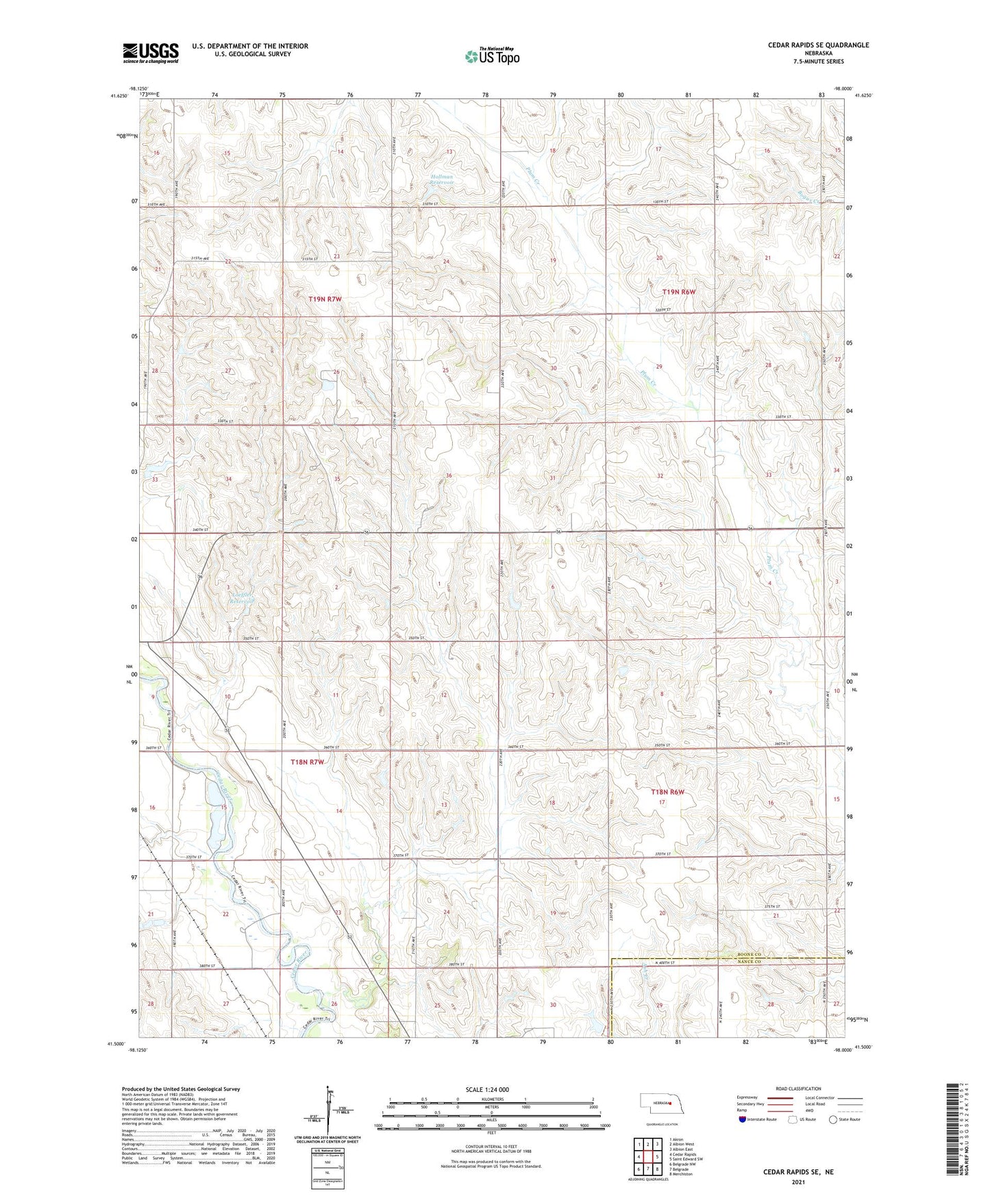
2021 topographic map quadrangle Cedar Rapids SE in the state of Nebraska. Scale: 1:24000. Based on the newly updated USGS 7.5' US Topo map series, this map is in the following counties: Boone, Nance. The map contains contour data, water features, and other items you are used to seeing on USGS maps, but also has updated roads and other features. This is the next generation of topographic maps. Printed on high-quality waterproof paper with UV fade-resistant inks.
Quads adjacent to this one:
West: Cedar Rapids
Northwest: Akron
North: Albion West
Northeast: Albion East
East: Saint Edward SW
Southeast: Merchiston
South: Belgrade
Southwest: Belgrade NW
This map covers the same area as the classic USGS quad with code o41098e1.
Contains the following named places: Ash Hollow School, Belle Valley School, Hillview School, Hollman Dam, Hollman Reservoir, Loeffler Dam, Loeffler Reservoir, Midvale School, Pinnacle Hill Church, Pinnacle Hill School, Plum Center School, School Number 15