MyTopo
Elm Creek SE Nebraska US Topo Map
Couldn't load pickup availability
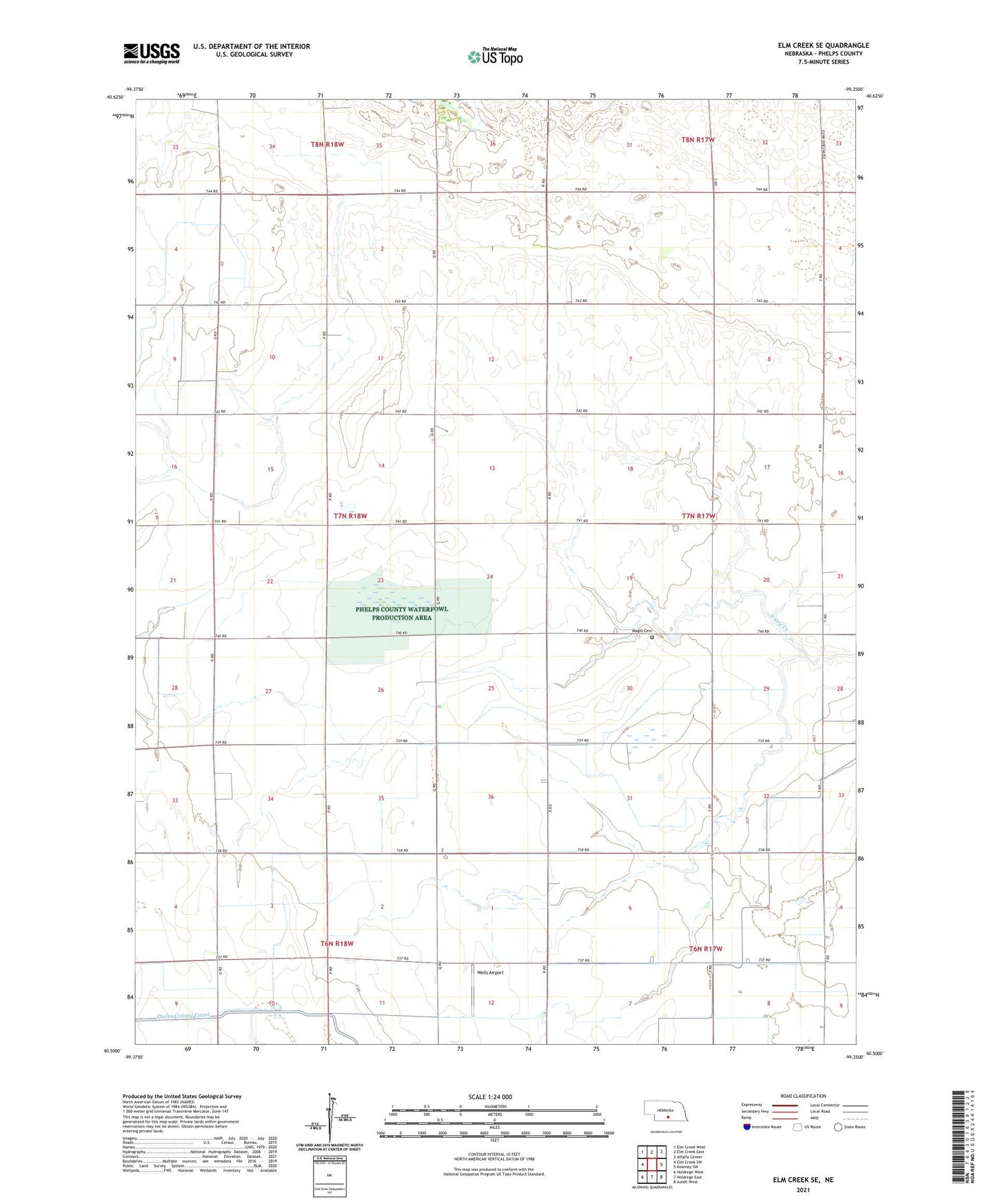
2021 topographic map quadrangle Elm Creek SE in the state of Nebraska. Scale: 1:24000. Based on the newly updated USGS 7.5' US Topo map series, this map is in the following counties: Phelps. The map contains contour data, water features, and other items you are used to seeing on USGS maps, but also has updated roads and other features. This is the next generation of topographic maps. Printed on high-quality waterproof paper with UV fade-resistant inks.
Quads adjacent to this one:
West: Elm Creek SW
Northwest: Elm Creek West
North: Elm Creek East
Northeast: Alfalfa Center
East: Kearney SW
Southeast: Axtell West
South: Holdrege East
Southwest: Holdrege West
This map covers the same area as the classic USGS quad with code o40099e3.
Contains the following named places: Election Precinct 1, Emmaus Free Church, Johnson Federal Waterfowl Production Area, Magill Cemetery, Phelps County Canal, School Number 5, Township of Center, Wells Airport