MyTopo
Amherst Nebraska US Topo Map
Couldn't load pickup availability
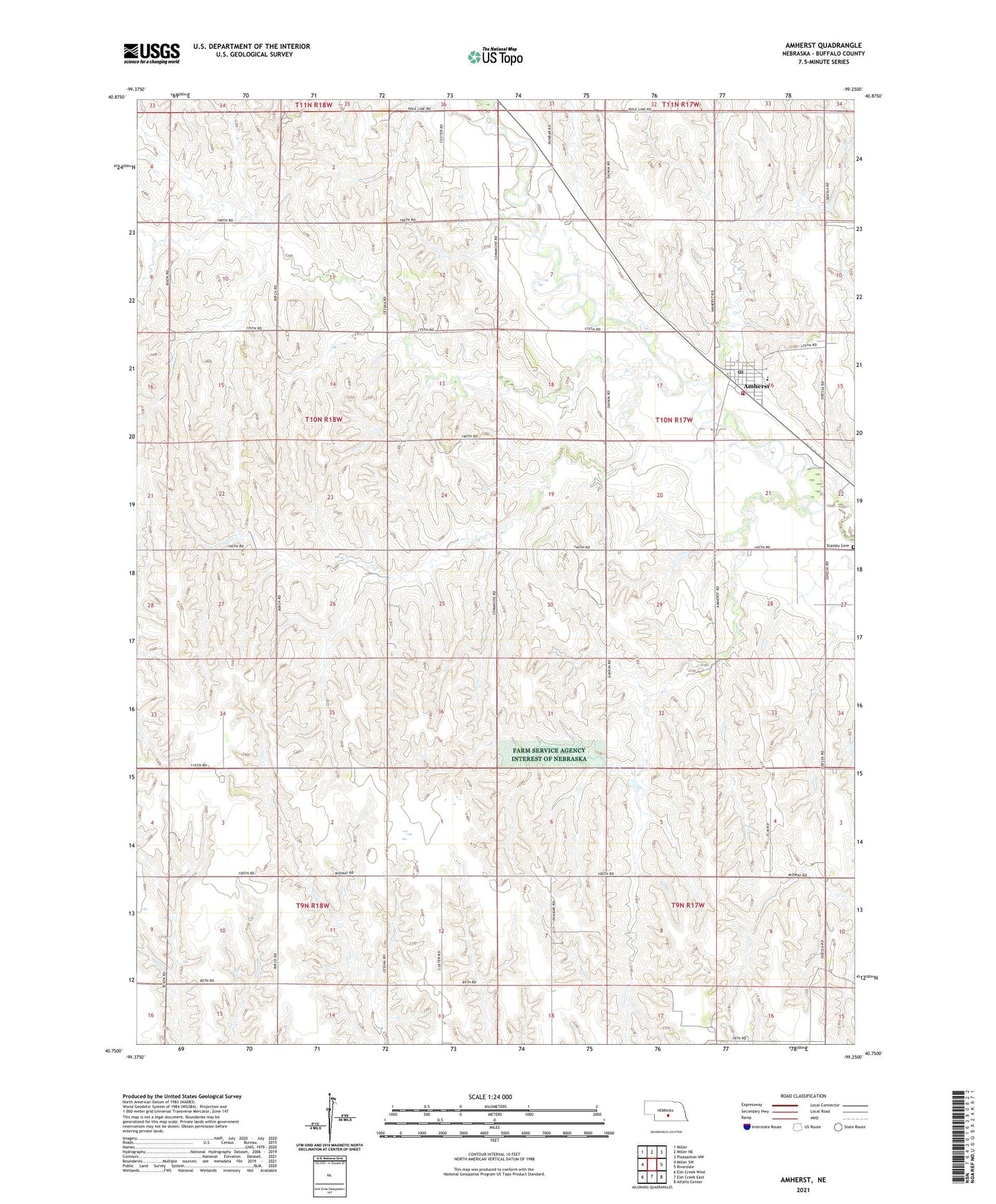
2021 topographic map quadrangle Amherst in the state of Nebraska. Scale: 1:24000. Based on the newly updated USGS 7.5' US Topo map series, this map is in the following counties: Buffalo. The map contains contour data, water features, and other items you are used to seeing on USGS maps, but also has updated roads and other features. This is the next generation of topographic maps. Printed on high-quality waterproof paper with UV fade-resistant inks.
Quads adjacent to this one:
West: Miller SW
Northwest: Miller
North: Miller NE
Northeast: Pleasanton NW
East: Riverdale
Southeast: Alfalfa Center
South: Elm Creek East
Southwest: Elm Creek West
This map covers the same area as the classic USGS quad with code o40099g3.
Contains the following named places: Amherst, Amherst Post Office, Amherst Public Library, Amherst Public Schools, Amherst Volunteer Fire Department, Election Precinct 19, Saint John Capistran Catholic Church, Stanley Cemetery, Township of Grant, Township of Logan, Trinity Lutheran Church, Village of Amherst