MyTopo
Merchiston Nebraska US Topo Map
Couldn't load pickup availability
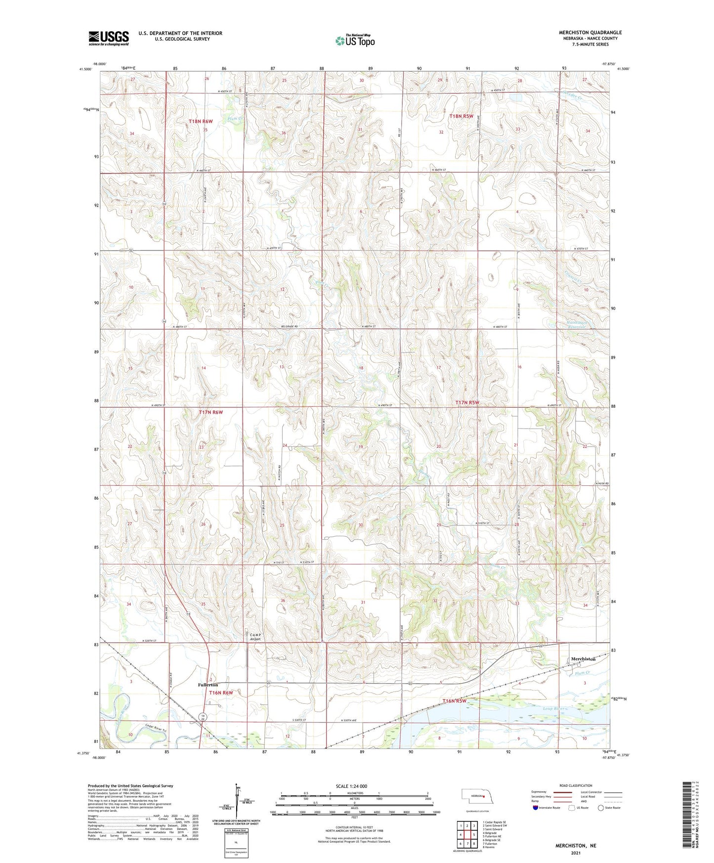
2021 topographic map quadrangle Merchiston in the state of Nebraska. Scale: 1:24000. Based on the newly updated USGS 7.5' US Topo map series, this map is in the following counties: Nance. The map contains contour data, water features, and other items you are used to seeing on USGS maps, but also has updated roads and other features. This is the next generation of topographic maps. Printed on high-quality waterproof paper with UV fade-resistant inks.
Quads adjacent to this one:
West: Belgrade
Northwest: Cedar Rapids SE
North: Saint Edward SW
Northeast: Saint Edward
East: Fullerton NE
Southeast: Havens
South: Fullerton
Southwest: Belgrade SE
This map covers the same area as the classic USGS quad with code o41097d8.
Contains the following named places: C A M P Airport, Cedar Valley School, Cloverdale School, Fullerton Plant Dam, Happy Hollow School, Hasselbach Dam, Hasselbach Reservoir, Highview School, Merchiston, Merchiston School, Nance County, Pawnee Hills Golf Club, Riverview School, Rose Dale School, Rozencrantz School, Sunnyside School, Township of Council Creek, ZIP Code: 68638