MyTopo
Guide Rock NE Nebraska US Topo Map
Couldn't load pickup availability
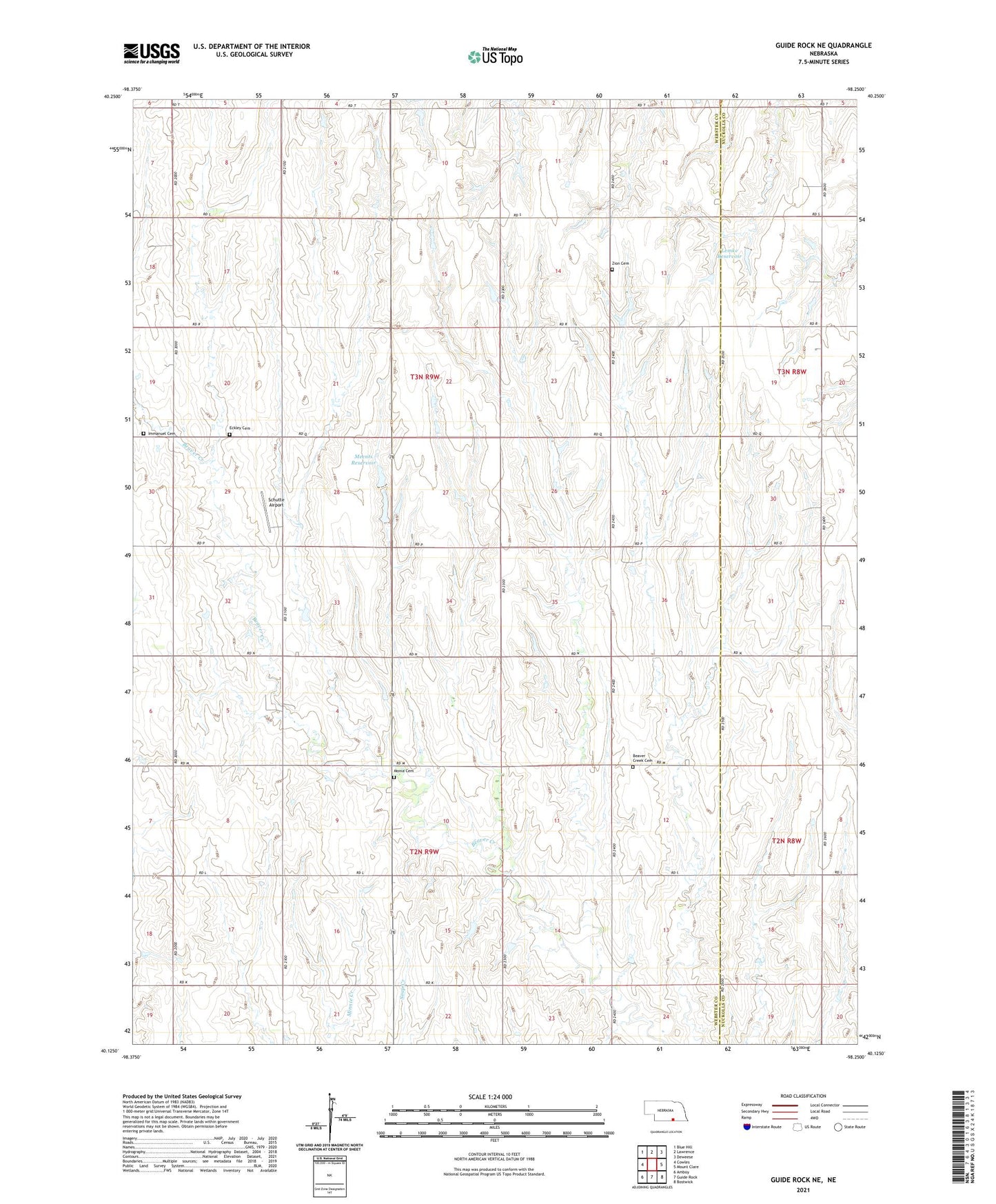
2021 topographic map quadrangle Guide Rock NE in the state of Nebraska. Scale: 1:24000. Based on the newly updated USGS 7.5' US Topo map series, this map is in the following counties: Webster, Nuckolls. The map contains contour data, water features, and other items you are used to seeing on USGS maps, but also has updated roads and other features. This is the next generation of topographic maps. Printed on high-quality waterproof paper with UV fade-resistant inks.
Quads adjacent to this one:
West: Cowles
Northwest: Blue Hill
North: Lawrence
Northeast: Deweese
East: Mount Clare
Southeast: Bostwick
South: Guide Rock
Southwest: Amboy
This map covers the same area as the classic USGS quad with code o40098b3.
Contains the following named places: Beaver Creek Cemetery, Eckley Cemetery, Emmanuel Lutheran Church Historical Marker, Immanuel Cemetery, Lemke Dam, Lemke Reservoir, Meents Dam, Meents Reservoir, Monia Cemetery, New Hope Church, Schutte Airport, Zion Cemetery