MyTopo
Havens Nebraska US Topo Map
Couldn't load pickup availability
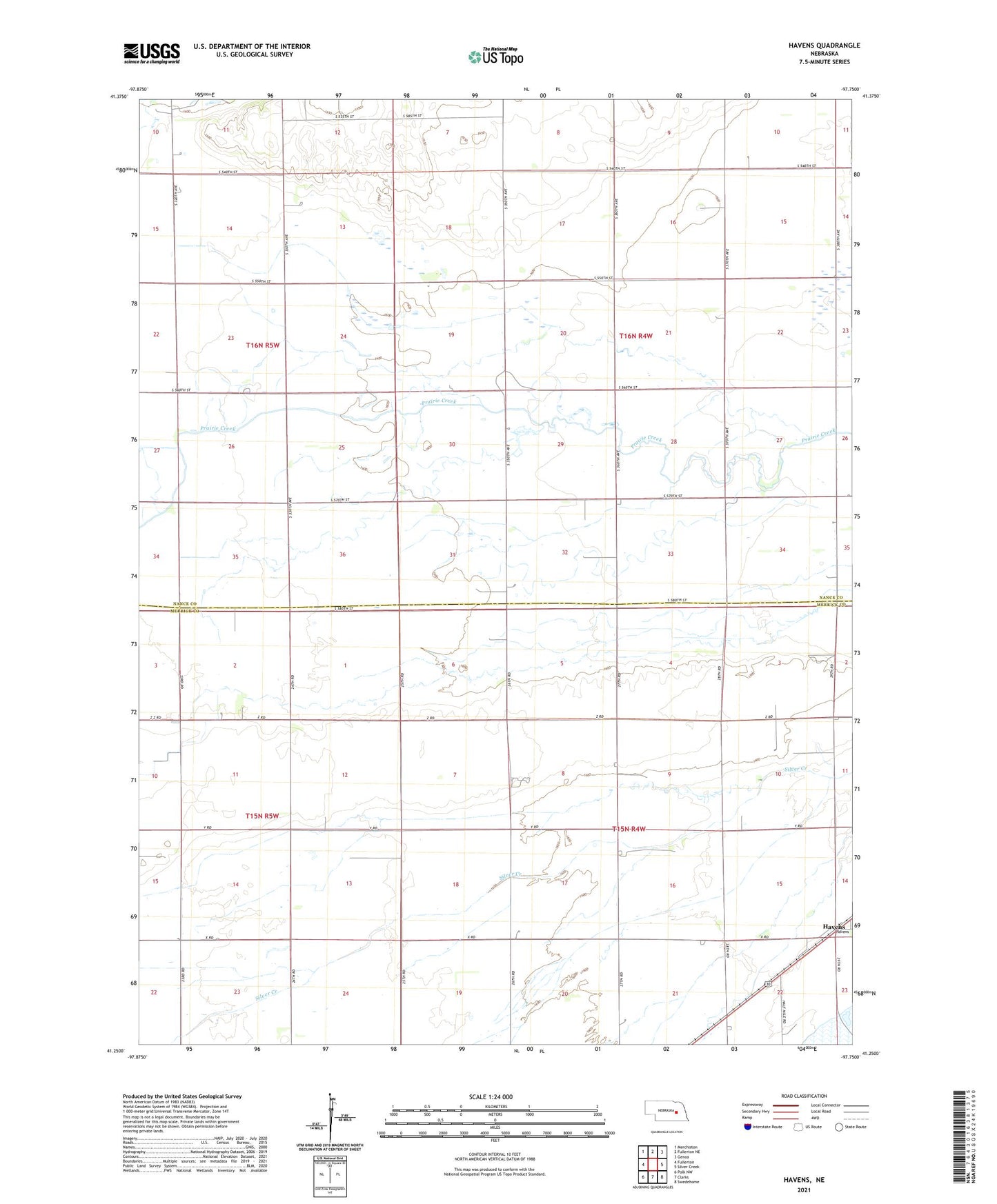
2021 topographic map quadrangle Havens in the state of Nebraska. Scale: 1:24000. Based on the newly updated USGS 7.5' US Topo map series, this map is in the following counties: Nance, Merrick. The map contains contour data, water features, and other items you are used to seeing on USGS maps, but also has updated roads and other features. This is the next generation of topographic maps. Printed on high-quality waterproof paper with UV fade-resistant inks.
Quads adjacent to this one:
West: Fullerton
Northwest: Merchiston
North: Fullerton NE
Northeast: Genoa
East: Silver Creek
Southeast: Swedehome
South: Clarks
Southwest: Polk NW
Contains the following named places: Havens, Havens Post Office, Hilltop School, Midway School, Township of Clarksville, Township of Prairie Creek