MyTopo
Ralston Nebraska US Topo Map
Couldn't load pickup availability
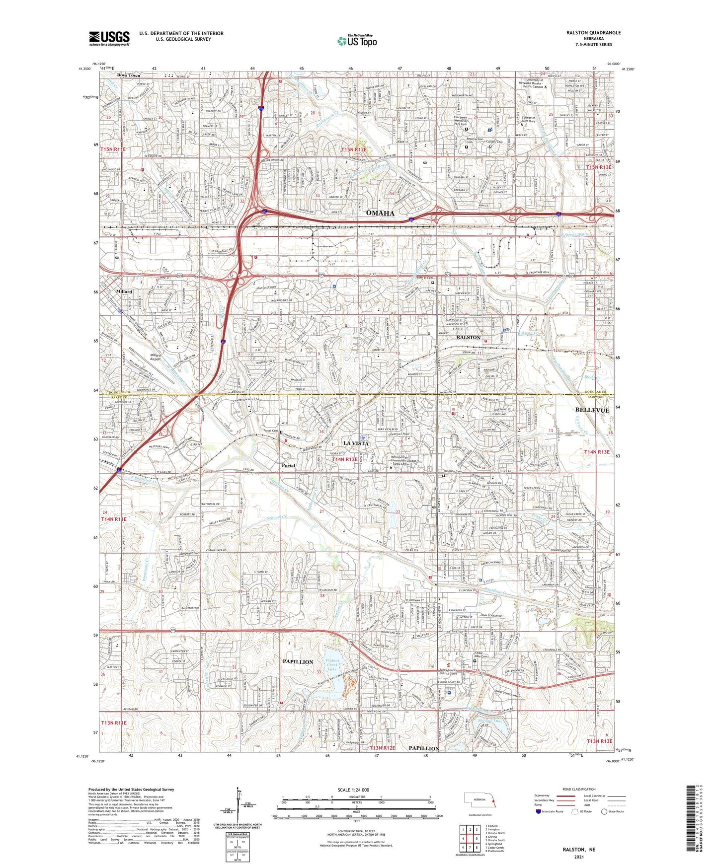
2021 topographic map quadrangle Ralston in the state of Nebraska. Scale: 1:24000. Based on the newly updated USGS 7.5' US Topo map series, this map is in the following counties: Sarpy, Douglas. The map contains contour data, water features, and other items you are used to seeing on USGS maps, but also has updated roads and other features. This is the next generation of topographic maps. Printed on high-quality waterproof paper with UV fade-resistant inks.
Quads adjacent to this one:
West: Gretna
Northwest: Elkhorn
North: Irvington
Northeast: Omaha North
East: Omaha South
Southeast: Plattsmouth
South: Cedar Creek
Southwest: Springfield
This map covers the same area as the classic USGS quad with code o41096b1.
Contains the following named places: Ak Sar Ben Field, Ak-Sar-Ben Field and the US Air Mail Historical Marker, Aksarben Manor, Aksarben Mobile Home Park, Alegent Behavioral Health Services Building, Alegent Health Center, Alegent Health First Health Physicians Center, Alegent Health Mercy Care Center, Alegent Health Midlands Prime Care Center, Alegent Health Surgery Center, Apollo Park, Applewood Creek, Applewood Golf Course, Applewood Heights, Armbrust Park, Ask Dental Group Center, Asthma and Allergy Center, Bakers Square, Bay Meadows Park, Bel-Air Plaza, Belle Ryan Elementary School, Bergan Mercy Hospital Heliport, Beth El Cemetery, Beveridge Magnet Middle School, Big Papio Trail, Blood Creek, Brentwood Crossing, Brentwood Dental Group Center, Brookside Park, Calvary Cemetery, Camenzind Park, Cancer Survivors Park, Capitol School of Hairstyling West, Caradon Mobile Home Park, Carriage Hill Elementary School, Catlin Magnet Center School, Cedar Dale Cemetery, Cedar Hills Golf Course, Cemetery Creek, Center of Dermatology, Central Park, Champion Park, CHI Health - Bergan Mercy Medical Center, Chi Health - Midlands Hospital, Chili Greens Golf at Sarben, Citidal Park, City of La Vista, City of Papillion, City of Ralston, Clarkson Primary Care Building - Millard, Cody Park, Coniglias Mobile Home Park, Conoco Park, Consultants in Cardiology Center, Countryside Village Shopping Center, Creighton Medical Association - Q Street, Douglas Election Precinct, East Midland Creek, Eberle-Walden Park, Elmwood Creek, Emma Kopecky Elementary Day School, Evergreen Memorial Park Cemetery, Excel Physical Therapy Center, F Street Drain, Faith Lutheran School, Family Foot Care Center, Frederick Square Shopping Center, Frederick Street Drain, Fun Plex, G Stanley Hall Elementary School, Garden Park, Good Samaritan Center, Halleck Park, Halleck Park Trail, Happy Hollow Country Club, Happy Hollow Park, Headache Clinic, Heart Lung and Vascular Surgery PC Center, Hell Creek, Hickory Hill Elementary School, Hickory Hills Park, Hickory Villa, Highland Country Club, Hollis Park, Horsemens Park, Huntington Park Care Center, Jaycee Park, Jensen Clinic, Karen Park, Kelly McMahon Field, Keystone Trail, Kingswood Park, KOIL-AM (Omaha), KTs College of Hair Design, La Vista, La Vista City Park, La Vista Creek, La Vista Election Precinct, La Vista Falls Golf Course, La Vista Junior High School, La Vista Sports Complex, La Vista West Elementary School, Lakeview Golf Course, Lawrence Peterson Park, Little Papillion Creek, Loveland Elementary School, Mary Our Queen School, Mayor Park, Metropolitan Community College - Sarpy Center, Midland Creek, Midland Pediatrics Center, Midwest Minor Medical Center, Millard, Millard Airport, Millard Heights Park, Millard School, Milts Golf Course, Mockingbird Creek, Mockingbird Heights Park, Mockingbird Hill Park, Monarch Park, Montclair - Westwood Park, Montclair Park, Montclair Shopping Center, Municipal Park, Nasco, Nebraska Dental Center, New City Campground, Oak Heights Park, Oak Hills Country Club, Oak Park, Oak Valley Elementary School, Oakdale Elementary School, Oaks Park, Omaha Historical Marker, Omaha Orthopedic Clinic, Omaha Surgical Center, Omaha Surgical Consultants PC Center, One Pacific Place Park, One Pacific Place Shopping Center, Orval Smith Park, Overland Hills Park, Paddock Road Elementary School, Papillion, Papillion - La Vista Senior High School, Papillion Cemetery, Papillion City Park, Papillion Election Precinct, Papillion Industrial Park, Papillion Junior High School, Papillion Manor, Papillion Second I Election Precinct, Papillion Second II Election Precinct, Parkview Heights Elementary School, Phoenix Academy of Learning, Physicians Clinic, Pipal Park, Portal, Portal Cemetery, Portal Elementary School, Prairie Center School, Prairie Lane Elementary School, Prairie Lane Park, Prairie Queen School, Quality Care Physicians Center, Ralston, Ralston Creek, Richland I Election Precinct, Richland III Election Precinct, Rockbrook Creek, Rockbrook Elementary School, Rockbrook Park, Rockbrook Village Shopping Center, Rockglenn Park, Roxbury Park, Rumsey Station Elementary School, Rush Pediatric Clinic, Saddle Creek, Saint Columbkille School, Saint Joan of Arc School, Saint Robert Bellarmine School, Sandoz Park, Savanna Creek, School Number 60, Schram Creek, Schwer Recreational Area, Seventh Street Park, Seymour, Seymour L Smith Park, Shadow Lake, Signal Hill Park, South Omaha Airport, South Papillion Creek, Sterling House Assisted Living Center, Suburban West Medical PC Building, Sunset Hills Elementary School, Tara Heights Elementary School, Tara Hills Golf Course, Tara Hills Park, Tara Plaza, Thompson Creek, Timber Creek Park, Towl Park, Trendwood Park, Trumble Park, Trumble Park Elementary School, University Medical Associates Center, Urology Center, Vatterott College - Omaha Campus, Vista Childrens Memorial Park, Walnut Creek, Walnut Creek Lake, Walnut Creek Recreation Area, Weco, Wel Life at Papillion Center, West Midland Creek, West Papillion Creek, Westgate Elementary School, Westmont Creek, Westmont Elementary School, Westside High School, Westside Middle School, Westwood Heights Golf Course, Westwood Heights Park, Westwood Plaza, Wildewood Park, Woody, Young Park, ZIP Codes: 68106, 68117, 68124, 68127, 68128, 68137, 68144


