MyTopo
Omaha South Nebraska US Topo Map
Couldn't load pickup availability
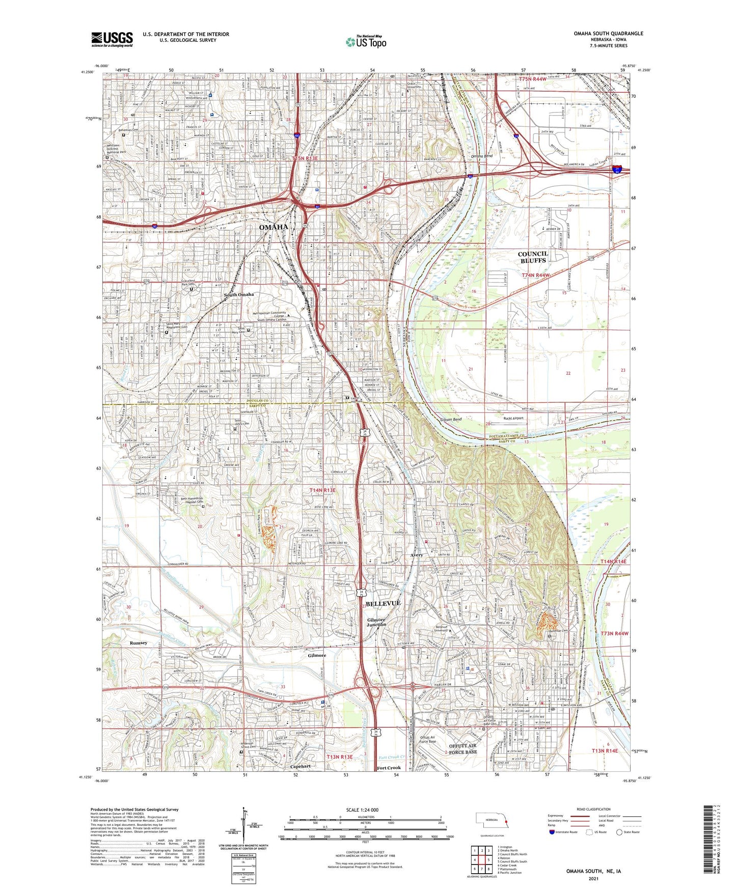
2021 topographic map quadrangle Omaha South in the states of Nebraska, Iowa. Scale: 1:24000. Based on the newly updated USGS 7.5' US Topo map series, this map is in the following counties: Sarpy, Douglas, Pottawattamie, Mills. The map contains contour data, water features, and other items you are used to seeing on USGS maps, but also has updated roads and other features. This is the next generation of topographic maps. Printed on high-quality waterproof paper with UV fade-resistant inks.
Quads adjacent to this one:
West: Ralston
Northwest: Irvington
North: Omaha North
Northeast: Council Bluffs North
East: Council Bluffs South
Southeast: Pacific Junction
South: Plattsmouth
Southwest: Cedar Creek
This map covers the same area as the classic USGS quad with code o41095b8.
Contains the following named places: Agri Grain Marketing Elevator, Albright Park, Alegent Health Express Care Center, Alegent Health Immediate Care Clinic, American Plaza, Anderson Grove Elementary School, Ashland Park - Robbins Elementary School, Athletic Park, Avery, Avery Elementary School, Baldwin Field, Bancroft Elementary School, Beals Elementary School, Behm Creek, Belleaire Elementary School, Bellevue, Bellevue Cemetery, Bellevue Christian Center, Bellevue Depot Historical Marker, Bellevue East High School, Bellevue Election Precinct, Bellevue Family Dental Center, Bellevue Foot Center, Bellevue Health Clinic, Bellevue Log Cabin Historical Marker, Bellevue Medical Center, Bellevue Mission Middle School, Bellevue Plaza, Bellevue Second I Election Precinct, Bellevue Second II Election Precinct, Bellevue University, Bellevue Vision Clinic, Bellevue West High School, Bergan Mercy Medical Center Immediate Care Clinic, Bertha Barber Elementary School, Beth Hamedrosh Hagodel Cemetery, Betz Elementary School, Betz Road Ditch, Big Elk Creek, Big Papillion Creek, Birchcrest Elementary School, Bluffs Run Casino RV Park, Bohemian Cemetery, Brown Park, Brown Park School, Bryan High School, Bryan Middle School, Capehart, Cardinal Spellman School, Castelar Elementary School, Center Mall, Central Elementary School, Chandler School, Chandler View Elementary School, CHAP School, Christie Heights Park, Churchich Park, City of Bellevue, Clarkson West Medical Center, Columbus Park, Comenius School, Copper Creek, Copper Creek Connector Trail, Cornerstone Christian School, Cornhusker Plaza, Corrigan School, Creighton Family Health Care Center, Cross Lutheran Elementary School, Dahlman Park, Daniel J Gross Catholic High School, Deer Park, Don Roddy Field Sports Complex, Douglas County Community Mental Health Center, E Ward School, Essex Park, Everett Park, Field Club Elementary School, Field Club of Omaha, Field Club Trail, Fifty-Fourth and Holmes Street Park, First Presbyterian Church Historical Marker, Fontenelle Bank - County Courthouse Historical Marker, Fontenelle Forest National Recreation Trail, Fontenelle Forest Nature Center, Fontenelle Hills Country Club, Fort Crook, Fort Crook Creek, Fox Run Golf Course, Freeman Park, Fricke Creek, Garfield School, Gemini Park, Gibson, Gibson Bend, Gilder Elementary School, Gilder Park, Gilmore, Gilmore I Election Precinct, Gilmore II Election Precinct, Gilmore III Election Precinct, Gilmore Junction, Glenmorrie Park, Golden Hills Elementary School, Golden Hills Park, Golden Hills Seventh Day Adventist Elementary School, Goldenrod Park, Graceland Park Cemetery, Great Plains Internal Medicine Center, Green Acres Mobile Home Park, Hanscom Park, Harper Park, Harrison Heights Park, Harrison Square, Harveys Recreation Complex, Haworth Park, Haworth Park Campground, Heber Park, Henry Doorly Zoo, Highland Elementary School, Highland I Election Precinct, Highland II Election Precinct, Highland Park, Hillcrest Care and Rehabilitation Center, Hitchcock Park, Holy Ghost Parish School, Indian Hill Elementary School, James F Lynch Park, Jefferson Elementary School, Jerry Gilbert Park, Jewell Park, Jewell School, Johnny Rosenblatt Stadium, Jungmann School, Kennedy Dental Associates Center, KEZO-AM (Omaha), KLNG-AM (Council Bluffs), Laurel Hill Cemetery, Lemay Elementary School, Lilley School, Logan Fontenelle Middle School, Madison School, Malmare Park, Mandan park, Martinview Mobile Home Park, Mason Park, Mason School, McCann Park, McKinley Park, Mercy High School, Midwest Dermatology Clinic, Morton Park, Mount Vernon Gardens, Mud Creek, Municipal Stadium, Munnelly Park, North Field - College Heights, Old Home Creek, Omaha Bend, Omaha Botanical Gardens, Omaha Nursing Home, Omaha Veterans Affairs Medical Center, Our Lady Of Lourdes School, Park School, Pawnee Elementary School, Physicians Clinic, Physicians Clinic - First Eye Associates, Pleasant Hill School, Ponca Health and Wellness Center, President Gerald R Ford Birthsite, Pulaski Park, Quail Creek, Reed Community Center, Riverside Park, Riverview Park, Riverview School, Rosewater School, Royals Court, Ruckl Airport, Rumsey, Saint Bernadette School, Saint Catherines Hospital, Saint Francis of Assisi School, Saint Johns Cemetery, Saint Joseph Center for Mental Health, Saint Joseph Hospital, Saint Joseph School, Saint Joseph Villa, Saint Mary Cemetery, Saint Mary Magdalene Cemetery, Saint Marys School, Saint Matthew School, Saint Rose School, Saint Stanislaus School, Sarpys Trading Post, Schroeder Park, Sorenson Park, South High School, South Lincoln School, South Omaha, Southroads Mall, Spring Lake Golf Course, Spring Lake Park, Summit, Sun Valley Park, Swanson Park, Thompson Park, Train School, Twin City Park, Twin Creek Plaza, Twin Ridge Elementary School, Twin Ridge Park, Unity Park, University Medical Associates Center, Upland Park, Vasectomy Clinic, Vinton School, Vogel Park, Wake Robin Elementary School, Washington Mobile Home Terrace, Washington Park, Washington School, West Quail Creek, West Side School, Western Historic Trails Center, Westlawn - Hillcrest Memorial Park, Wolf Creek, Womens Medical Center of Nebraska, Zorinsky Air Park, ZIP Codes: 51501, 68005, 68105, 68107, 68108, 68147, 68157


