MyTopo
Cedar Creek Nebraska US Topo Map
Couldn't load pickup availability
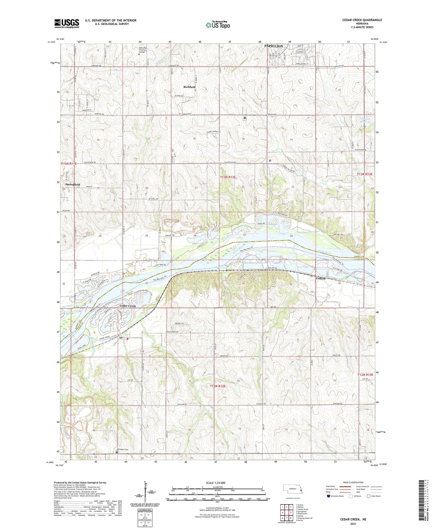
2021 topographic map quadrangle Cedar Creek in the state of Nebraska. Scale: 1:24000. Based on the newly updated USGS 7.5' US Topo map series, this map is in the following counties: Sarpy, Cass. The map contains contour data, water features, and other items you are used to seeing on USGS maps, but also has updated roads and other features. This is the next generation of topographic maps. Printed on high-quality waterproof paper with UV fade-resistant inks.
Quads adjacent to this one:
West: Springfield
Northwest: Gretna
North: Ralston
Northeast: Omaha South
East: Plattsmouth
Southeast: Murray
South: Weeping Water NE
Southwest: Manley
This map covers the same area as the classic USGS quad with code o41096a1.
Contains the following named places: Becker School, Bell School, Camp Maha, Cedar Creek, Cedar Creek Post Office, Cedar Creek School, Cedar Creek Volunteer Fire Department, Chase School, Crestview Lodge, Cullom, Cullom School, Eight Mile Grove Election Precinct, Fairview, Fairview Cemetery, Fairview Election Precinct, Fairview Post Office, Fairview School, Glendale Cemetery, Glendale Creek, Harvey Dam, Harvey Reservoir, Heil School, KFAB-AM (Omaha), KGBI-FM (Omaha), Lutheran Church, P & R Airport, Platteview High School, Richfield, Richfield Census Designated Place, Richfield Post Office, Saint Joseph Church, Sarpy Center School, Sarpy County, Sarpy County Sheriff's Office, Springfield Creek, Springfield Quarry, Turkey Creek, Village of Cedar Creek, Younker Creek, ZIP Codes: 68016, 68046