MyTopo
Santee Nebraska US Topo Map
Couldn't load pickup availability
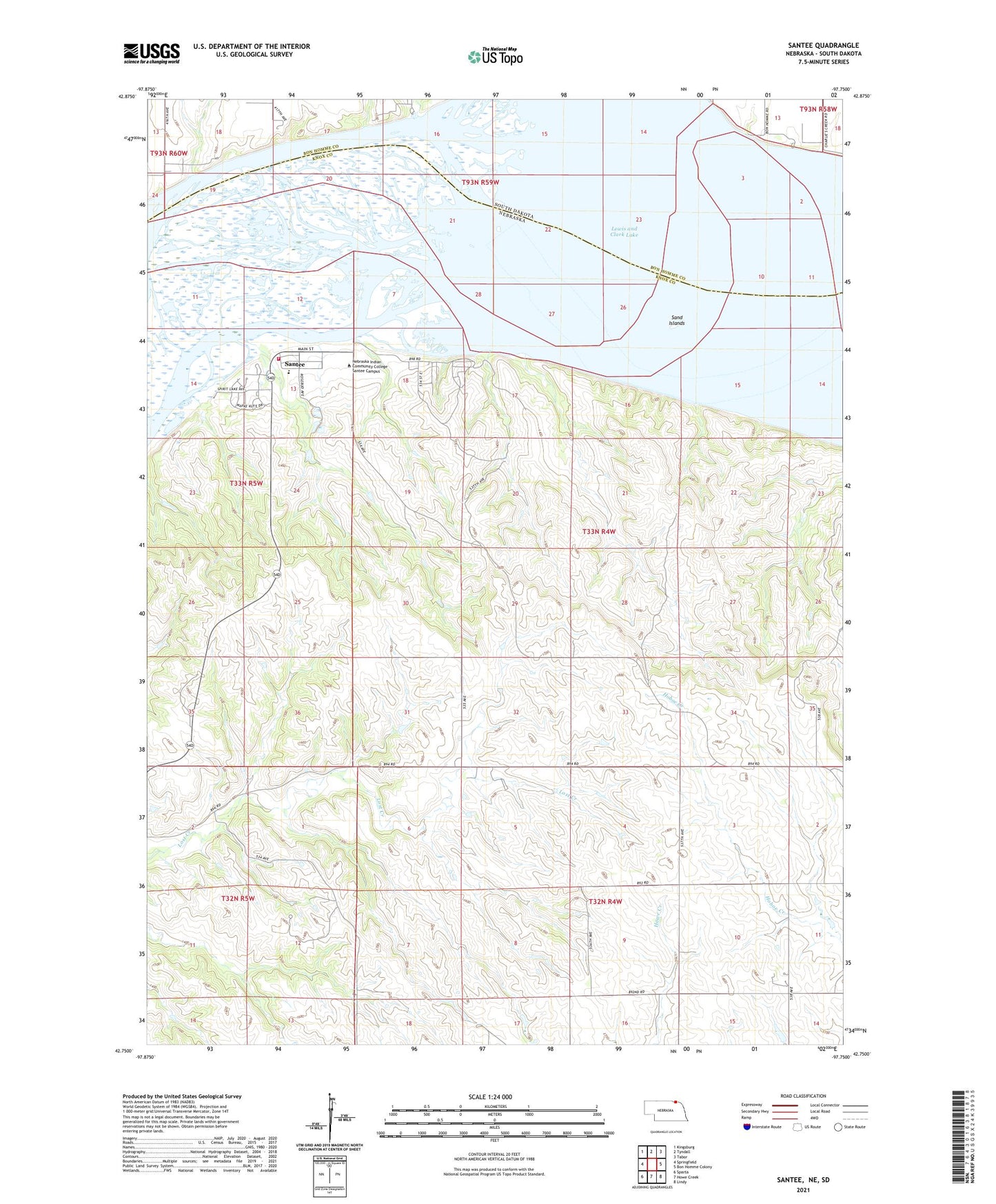
2021 topographic map quadrangle Santee in the states of Nebraska, South Dakota. Scale: 1:24000. Based on the newly updated USGS 7.5' US Topo map series, this map is in the following counties: Knox, Bon Homme. The map contains contour data, water features, and other items you are used to seeing on USGS maps, but also has updated roads and other features. This is the next generation of topographic maps. Printed on high-quality waterproof paper with UV fade-resistant inks.
Quads adjacent to this one:
West: Springfield
Northwest: Kingsburg
North: Tyndall
Northeast: Tabor
East: Bon Homme Colony
Southeast: Lindy
South: Howe Creek
Southwest: Sparta
Contains the following named places: Dodsons Bend, Nebraska Indian Community College - Santee Campus, Sand Creek Recreation Area, Sand Islands, Santee, Santee Post Office, Santee Public Schools, Santee Sioux Recreation Park, Santee Sioux Tribe Health Center, Santee Village Police, Santee Volunteer Fire Department, Silver Creek, Township of Hill, Township of Santee, Village of Santee