MyTopo
Utica SW Nebraska US Topo Map
Couldn't load pickup availability
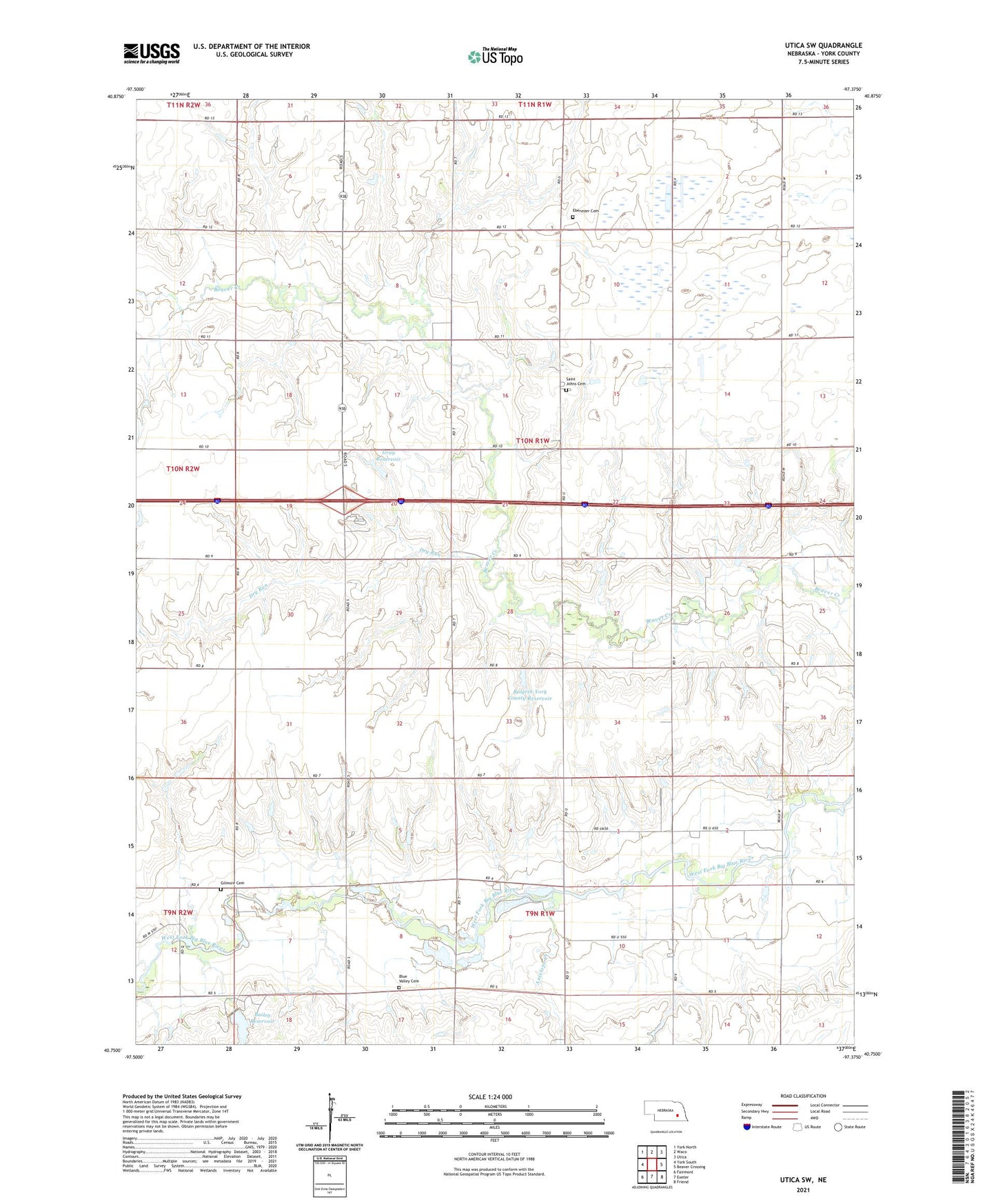
2021 topographic map quadrangle Utica SW in the state of Nebraska. Scale: 1:24000. Based on the newly updated USGS 7.5' US Topo map series, this map is in the following counties: York. The map contains contour data, water features, and other items you are used to seeing on USGS maps, but also has updated roads and other features. This is the next generation of topographic maps. Printed on high-quality waterproof paper with UV fade-resistant inks.
Quads adjacent to this one:
West: York South
Northwest: York North
North: Waco
Northeast: Utica
East: Beaver Crossing
Southeast: Friend
South: Exeter
Southwest: Fairmont
This map covers the same area as the classic USGS quad with code o40097g4.
Contains the following named places: Antelope Creek, Bailey Floodwater Retarding Dam, Bailey Reservoir, Beaver Election Precinct, Blue Valley Cemetery, Bulgrin-York County Dam, Bulgrin-York County Reservoir, Double Nickel Campground, Dry Run, Ebenezer Church, Gilmore Cemetery, Gray Dam, Gray Reservoir, Saint Johns Cemetery, Saint Johns Lutheran Church, Saint Johns School, Township of Beaver