MyTopo
Webster Nebraska US Topo Map
Couldn't load pickup availability
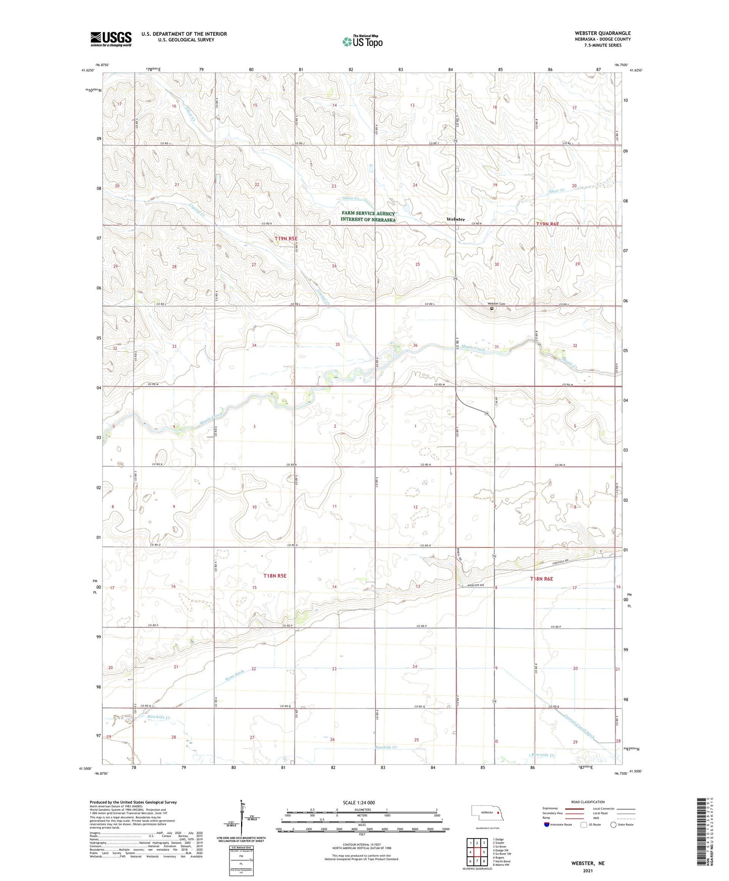
2021 topographic map quadrangle Webster in the state of Nebraska. Scale: 1:24000. Based on the newly updated USGS 7.5' US Topo map series, this map is in the following counties: Dodge. The map contains contour data, water features, and other items you are used to seeing on USGS maps, but also has updated roads and other features. This is the next generation of topographic maps. Printed on high-quality waterproof paper with UV fade-resistant inks.
Quads adjacent to this one:
West: Dodge SW
Northwest: Dodge
North: Snyder
Northeast: Scribner
East: Scribner SW
Southeast: Malmo NW
South: North Bend
Southwest: Rogers
This map covers the same area as the classic USGS quad with code o41096e7.
Contains the following named places: Clyde, Clyde Post Office, Crystal Creek, Saint Matthews Church, School Number 92, Scott Ditch, Township of Pleasant Valley, Township of Union, Webster, Webster Cemetery, Webster Church, Webster Post Office, Webster Public School, ZIP Code: 68649