MyTopo
West Point NE Nebraska US Topo Map
Couldn't load pickup availability
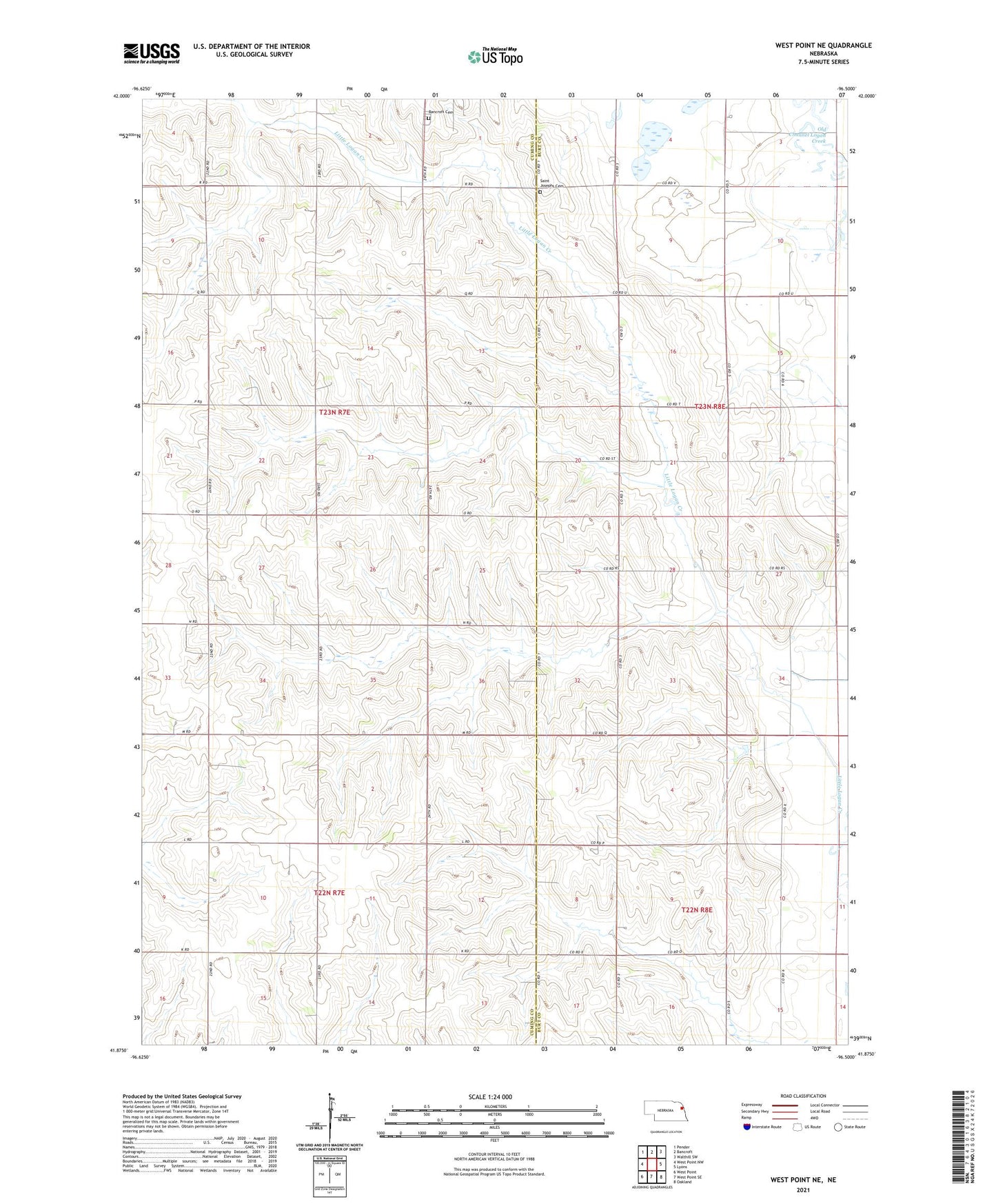
2021 topographic map quadrangle West Point NE in the state of Nebraska. Scale: 1:24000. Based on the newly updated USGS 7.5' US Topo map series, this map is in the following counties: Cuming, Burt. The map contains contour data, water features, and other items you are used to seeing on USGS maps, but also has updated roads and other features. This is the next generation of topographic maps. Printed on high-quality waterproof paper with UV fade-resistant inks.
Quads adjacent to this one:
West: West Point NW
Northwest: Pender
North: Bancroft
Northeast: Walthill SW
East: Lyons
Southeast: Oakland
South: West Point SE
Southwest: West Point
This map covers the same area as the classic USGS quad with code o41096h5.
Contains the following named places: Bancroft Cemetery, Paine Public School, Saint Josephs Cemetery, School Number 32, School Number 33, School Number 58, School Number 63, School Number 69, Township of Everett, Township of Neligh