MyTopo
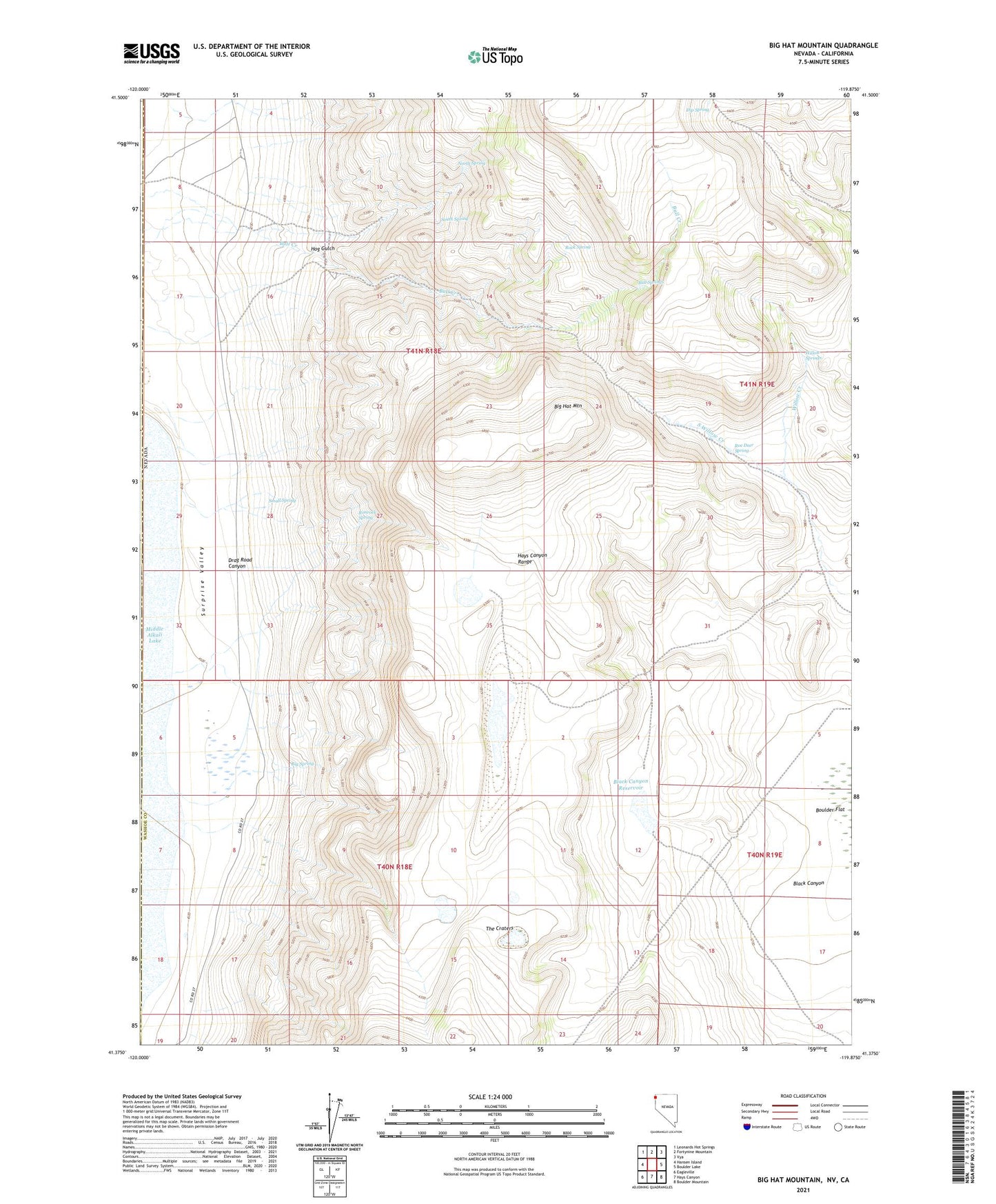
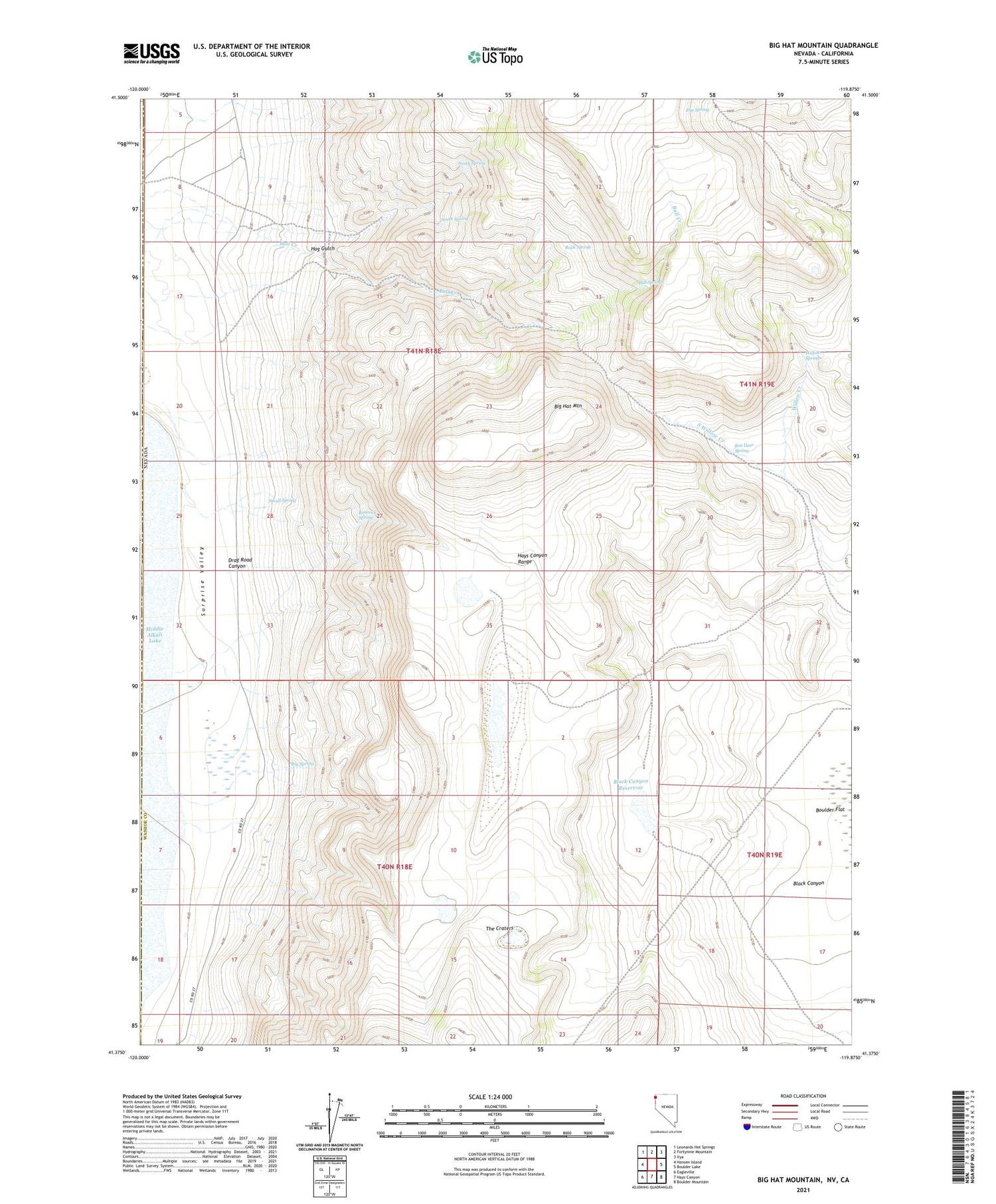
Big Hat Mountain Nevada US Topo Map
Couldn't load pickup availability
2021 topographic map quadrangle Big Hat Mountain in the state of Nevada. Scale: 1:24000. Based on the newly updated USGS 7.5' US Topo map series, this map is in the following counties: Washoe, Modoc. The map contains contour data, water features, and other items you are used to seeing on USGS maps, but also has updated roads and other features. This is the next generation of topographic maps. Printed on high-quality waterproof paper with UV fade-resistant inks.
Quads adjacent to this one:
West: Hansen Island
Northwest: Leonards Hot Springs
North: Fortynine Mountain
Northeast: Vya
East: Boulder Lake
Southeast: Boulder Mountain
South: Hays Canyon
Southwest: Eagleville
Contains the following named places: Big Hat Mountain, Big Spring, Black Canyon, Black Canyon Reservoir, Bull Springs, Crampton Troughs, Dip Spring, Drag Road Canyon, Dry Well, Hog Gulch, Long Lake, Long Ranch, Miller Ranch, North Spring, Rimrock Spring, Rock Spring, Roe Deer Spring, Small Spring, South Spring, South Willow Creek, Table Lakes, The Craters, Willow Springs