MyTopo
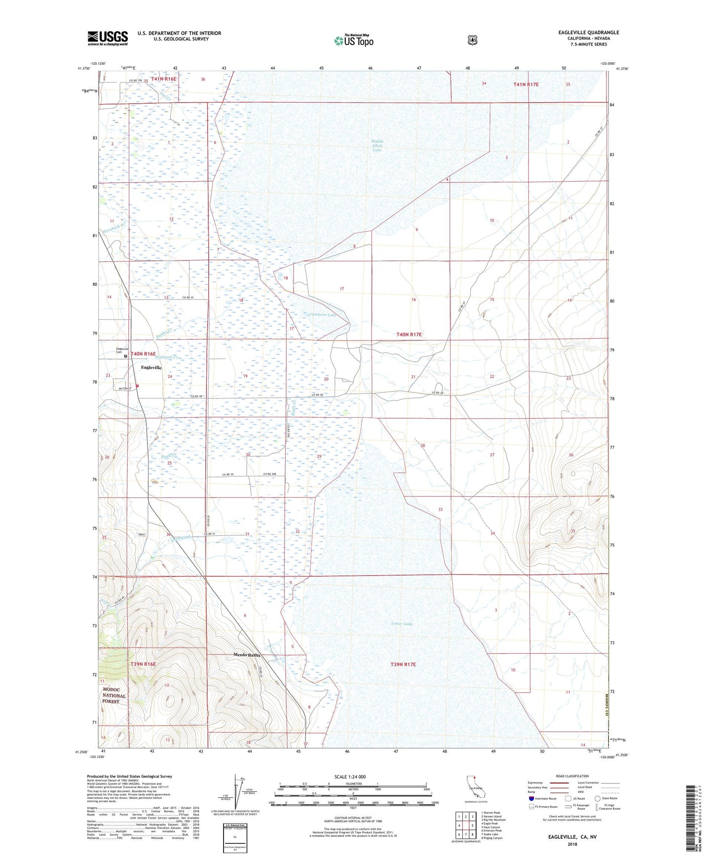
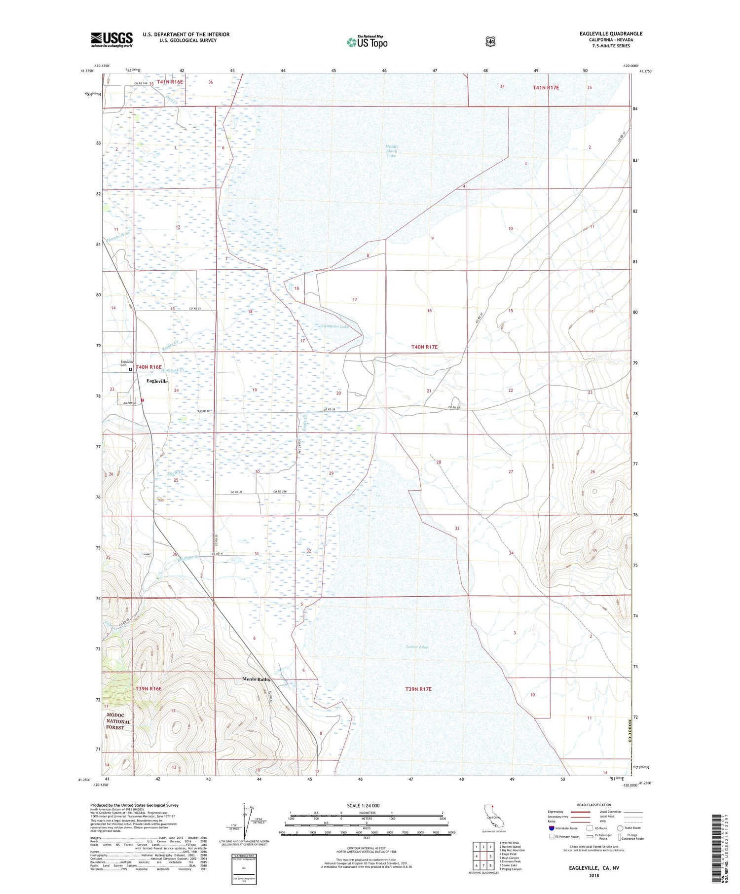
Eagleville California US Topo Map
Couldn't load pickup availability
Also explore the Eagleville Forest Service Topo of this same quad for updated USFS data
2021 topographic map quadrangle Eagleville in the state of California. Scale: 1:24000. Based on the newly updated USGS 7.5' US Topo map series, this map is in the following counties: Modoc, Washoe. The map contains contour data, water features, and other items you are used to seeing on USGS maps, but also has updated roads and other features. This is the next generation of topographic maps. Printed on high-quality waterproof paper with UV fade-resistant inks.
Quads adjacent to this one:
West: Eagle Peak
Northwest: Warren Peak
North: Hansen Island
Northeast: Big Hat Mountain
East: Hays Canyon
Southeast: Pegleg Canyon
South: Snake Lake
Southwest: Emerson Peak
This map covers the same area as the classic USGS quad with code o41120c1.
Contains the following named places: Cambron Lake, Cockrell Ranch, Cole Creek, Eagle Creek, Eagleville, Eagleville Airport, Eagleville Cemetery, Eagleville Census Designated Place, Eagleville Fire Department, Emerson Creek, Highrock Creek, Hornback Creek, Menlo Baths, Midra Ranch, Mount Stevenson Ranch, Owl Creek, Raider Creek, ZIP Code: 96110