MyTopo
Buckskin Mountain Nevada US Topo Map
Couldn't load pickup availability
Also explore the Buckskin Mountain Forest Service Topo of this same quad for updated USFS data
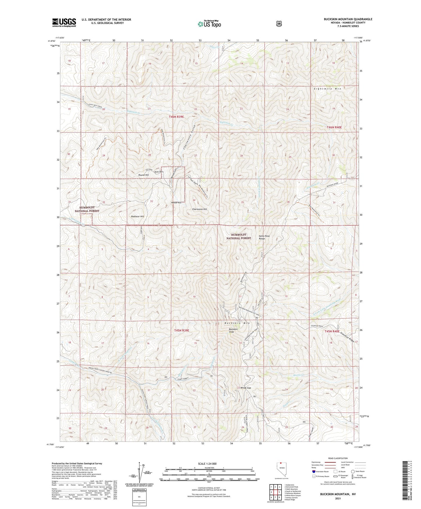
2021 topographic map quadrangle Buckskin Mountain in the state of Nevada. Scale: 1:24000. Based on the newly updated USGS 7.5' US Topo map series, this map is in the following counties: Humboldt. The map contains contour data, water features, and other items you are used to seeing on USGS maps, but also has updated roads and other features. This is the next generation of topographic maps. Printed on high-quality waterproof paper with UV fade-resistant inks.
Quads adjacent to this one:
West: South of McDermitt
Northwest: McDermitt
North: McConnell Peak
Northeast: Odell Mountain
East: Holloway Meadows
Southeast: Black Ridge
South: Hinkey Summit
Southwest: White Rock Canyon
This map covers the same area as the classic USGS quad with code o41117g5.
Contains the following named places: Auto Hill, Birthday Mine, Blum Shaft, Buckskin, Buckskin Creek, Buckskin Mountain, Buckskin National Mine, Buckskin Slide, Caustin Mine, Charleston Gulch, Charleston Hill, Chefoo Tunnel, Crawford Mine, Edmunds Mine, Eightmile Mountain, First National Mine, Halcyon Mine, Hatch Mine, Indian Valley Mine, Mammoth Mine, McCormick Mine, National, National Gulch, National Mine, National Mining District, National Post Office, North Fork Canyon Creek, Paradise Mine, Radiator Hill, Round Hill, South Fork Canyon Creek, South Fork Eightmile Creek, Staunton Ridge, Transfer Camp, Union Mine, Utah National Mine, White Hill, Windy Gap