MyTopo
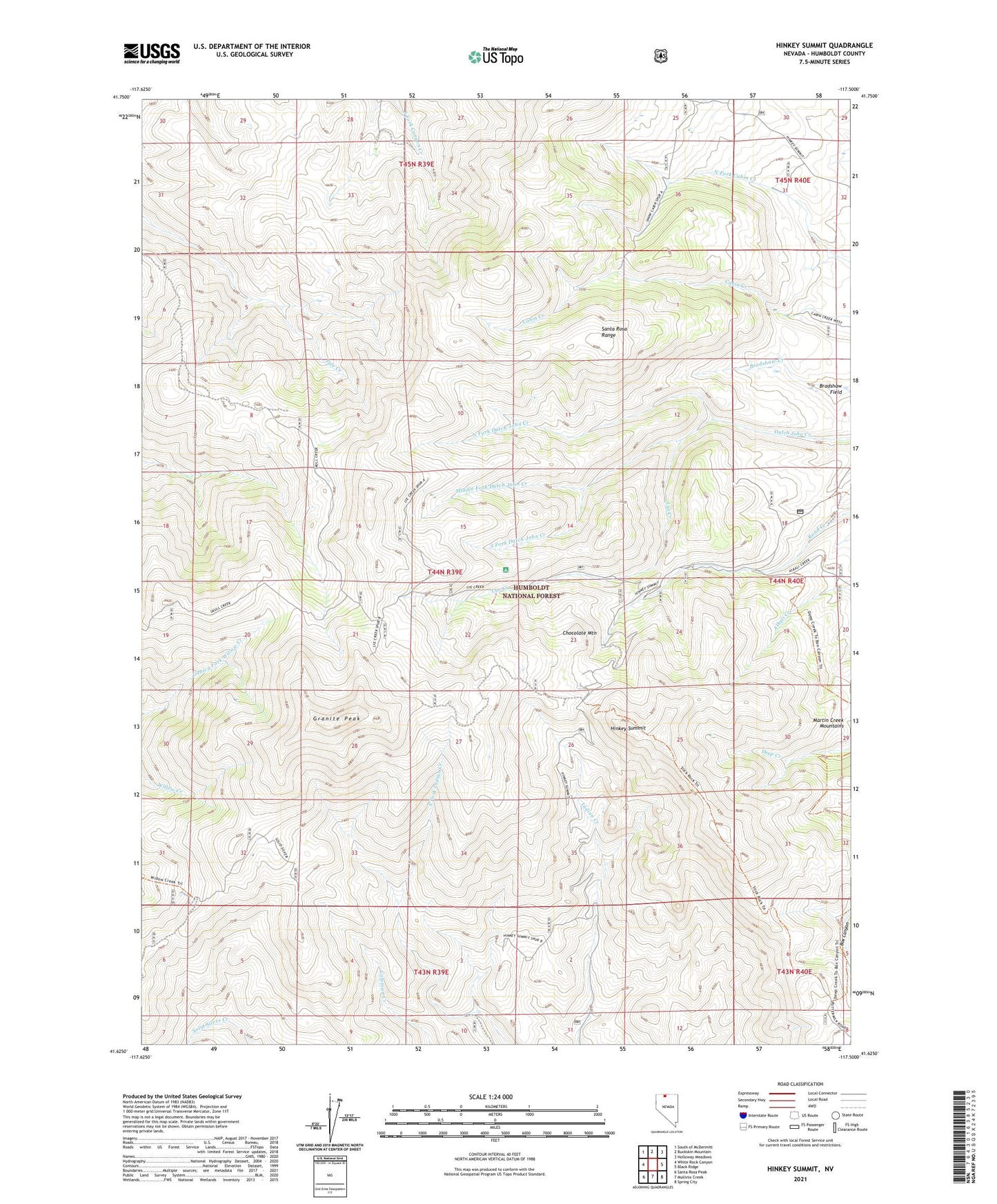
Hinkey Summit Nevada US Topo Map
Couldn't load pickup availability
Also explore the Hinkey Summit Forest Service Topo of this same quad for updated USFS data
2021 topographic map quadrangle Hinkey Summit in the state of Nevada. Scale: 1:24000. Based on the newly updated USGS 7.5' US Topo map series, this map is in the following counties: Humboldt. The map contains contour data, water features, and other items you are used to seeing on USGS maps, but also has updated roads and other features. This is the next generation of topographic maps. Printed on high-quality waterproof paper with UV fade-resistant inks.
Quads adjacent to this one:
West: White Rock Canyon
Northwest: South of McDermitt
North: Buckskin Mountain
Northeast: Holloway Meadows
East: Black Ridge
Southeast: Spring City
South: Mullinix Creek
Southwest: Santa Rosa Peak
This map covers the same area as the classic USGS quad with code o41117f5.
Contains the following named places: Bradshaw Field, Chocolate Mountain, Granite Peak, Hinkey Summit, Lye Creek, Lye Creek Recreation Site, Martin Creek Guard Station, McDermitt Division, Middle Fork Dutch John Creek, North Fork Dutch John Creek, Santa Rosa Ranger District, South Fork Dutch John Creek