
MyTopo
Duck Creek Valley Nevada US Topo Map
Couldn't load pickup availability
Also explore the Duck Creek Valley Forest Service Topo of this same quad for updated USFS data
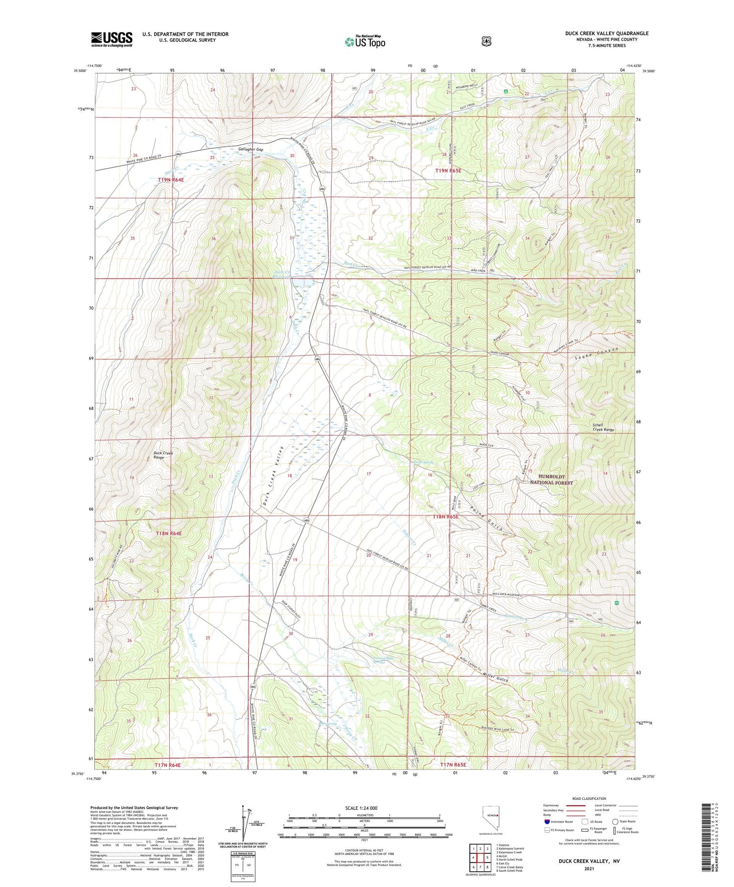
2021 topographic map quadrangle Duck Creek Valley in the state of Nevada. Scale: 1:24000. Based on the newly updated USGS 7.5' US Topo map series, this map is in the following counties: White Pine. The map contains contour data, water features, and other items you are used to seeing on USGS maps, but also has updated roads and other features. This is the next generation of topographic maps. Printed on high-quality waterproof paper with UV fade-resistant inks.
Quads adjacent to this one:
West: McGill
Northwest: Steptoe
North: Kalamazoo Summit
Northeast: Kalamazoo Creek
East: North Schell Peak
Southeast: South Schell Peak
South: Cleve Creek Baldy
Southwest: East Ely
This map covers the same area as the classic USGS quad with code o39114d6.
Contains the following named places: Bart Spring, Berry Creek, Berry Creek Grove, Bird Creek, Bird Creek Campground, Brennen Mine, Duck Creek Dam, Duck Creek Fish Hatchery, Duck Creek Post Office, Duck Creek Reservoir, Duck Creek Valley, East Creek, East Creek Campground, Ely Gibralter Mine, Gallagher Gap, Hornbek Ranch, Kent, Kent Post Office, Miller Creek, Miller Gulch, North Creek, Paine Gulch, Paine Spring, Pat and Mike Springs, Pescio Ranch, Providence Mine, Ranger Trail, Snake Canyon, Timber Creek, Timber Creek Campground


