
MyTopo
Steptoe Nevada US Topo Map
Couldn't load pickup availability
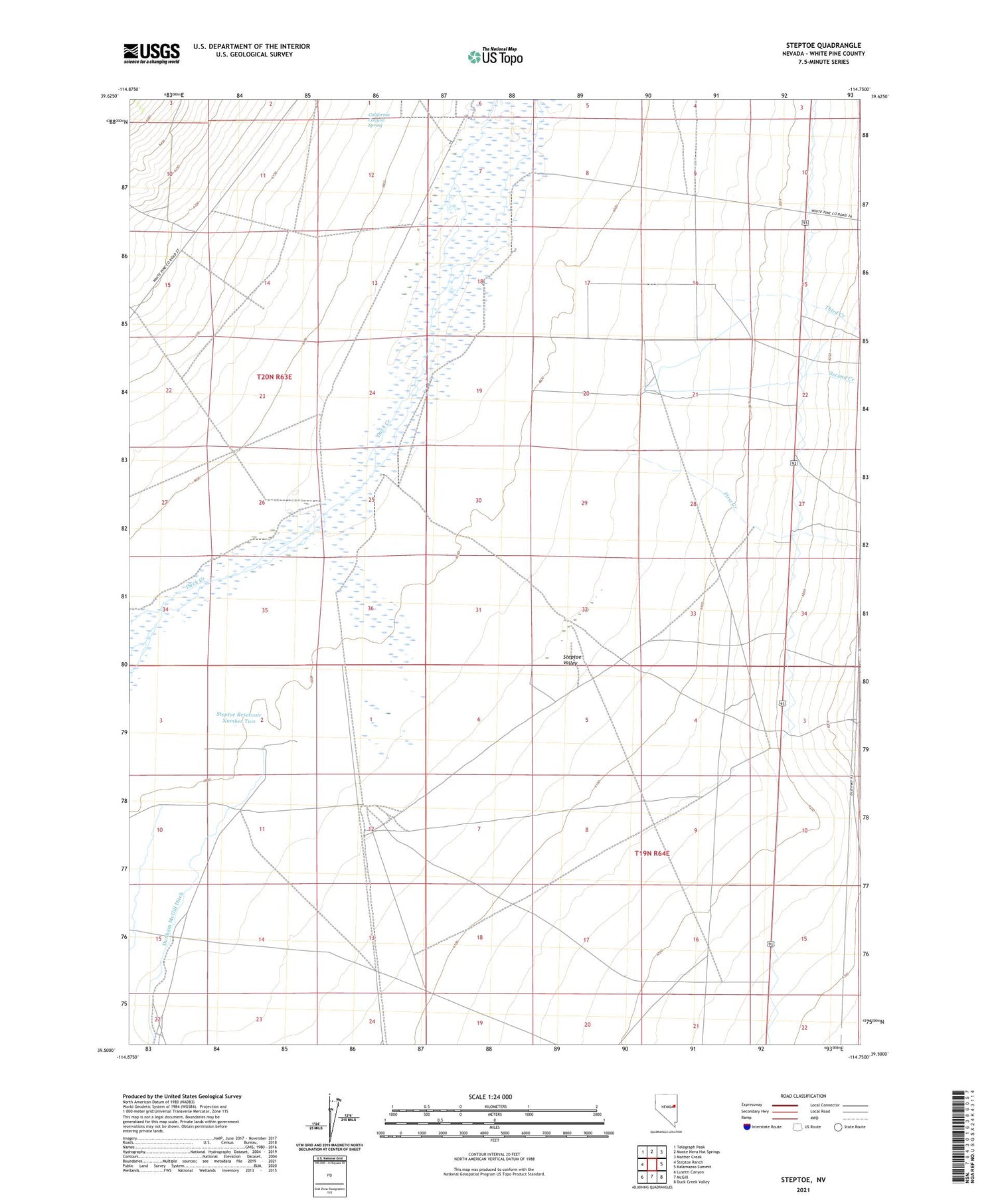
2021 topographic map quadrangle Steptoe in the state of Nevada. Scale: 1:24000. Based on the newly updated USGS 7.5' US Topo map series, this map is in the following counties: White Pine. The map contains contour data, water features, and other items you are used to seeing on USGS maps, but also has updated roads and other features. This is the next generation of topographic maps. Printed on high-quality waterproof paper with UV fade-resistant inks.
Quads adjacent to this one:
West: Steptoe Ranch
Northwest: Telegraph Peak
North: Monte Neva Hot Springs
Northeast: Mattier Creek
East: Kalamazoo Summit
Southeast: Duck Creek Valley
South: McGill
Southwest: Lusetti Canyon
This map covers the same area as the classic USGS quad with code o39114e7.
Contains the following named places: California Canyon Spring, Fera Thirtyeight, Fera Thirtynine, Fera Well, First Creek, McGill Division, Second Creek, Steptoe Reservoir Number Two, Steptoe Siding, Third Creek, ZIP Code: 89301


