MyTopo
Mount Rose Nevada US Topo Map
Couldn't load pickup availability
Also explore the Mount Rose Forest Service Topo of this same quad for updated USFS data
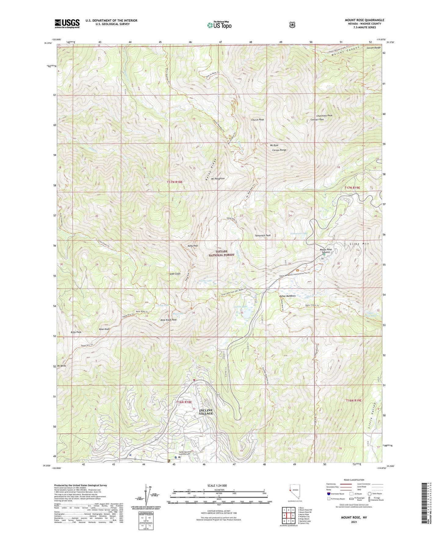
2021 topographic map quadrangle Mount Rose in the state of Nevada. Scale: 1:24000. Based on the newly updated USGS 7.5' US Topo map series, this map is in the following counties: Washoe. The map contains contour data, water features, and other items you are used to seeing on USGS maps, but also has updated roads and other features. This is the next generation of topographic maps. Printed on high-quality waterproof paper with UV fade-resistant inks.
Quads adjacent to this one:
West: Martis Peak
Northwest: Boca
North: Mount Rose NW
Northeast: Mount Rose NE
East: Washoe City
Southeast: Carson City
South: Marlette Lake
Southwest: Kings Beach
This map covers the same area as the classic USGS quad with code o39119c8.
Contains the following named places: Carson Range, Chocolate Peak, Church Peak, Contact Pass, Folsom Camp, Ginny Lake, Gray Lake, Incline Golf Course, Incline High School, Incline Lake, Incline Lake Dam, Incline Ski Area, Incline Village, Incline Village Census Designated Place, Incline Village Community Hospital, Incline Village Shopping Center, KIIQ-FM (Reno), KOLO-TV (Reno), KREN-TV (Reno), KRNO-FM (Reno), KZAK-FM (Incline Village), Mount Houghton, Mount Rose, Mount Rose Campground, Mount Rose Highway Maintenance Station, Mount Rose Relay Station, Mount Rose Ski Area, Mount Rose Summit, Mount Rose Trail, Mud Lake, North Lake Tahoe Fire Protection District Station 13, Preston Field, Relay Peak, Relay Ridge, Rifle Peak, Rose Knob, Rose Knob Peak, Sierra Nevada College, Slab Cliffs, Slide Mountain, Tahoe Meadows, Tahoe Meadows Snowplay Area, Tamarack Lake, Tamarack Peak, Tyrolian Village, Upper Price Lake, Washoe County Sheriff's Office - Incline Village Substation, Whittell Forest and Wildlife Management Area