MyTopo
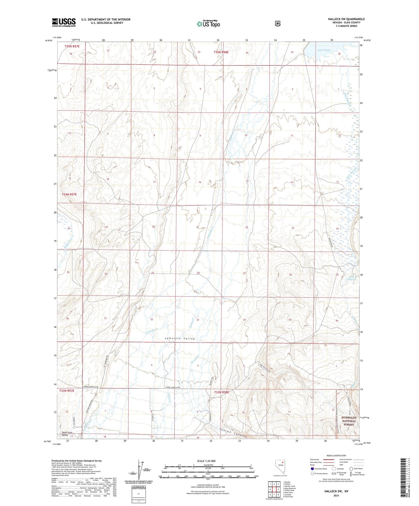
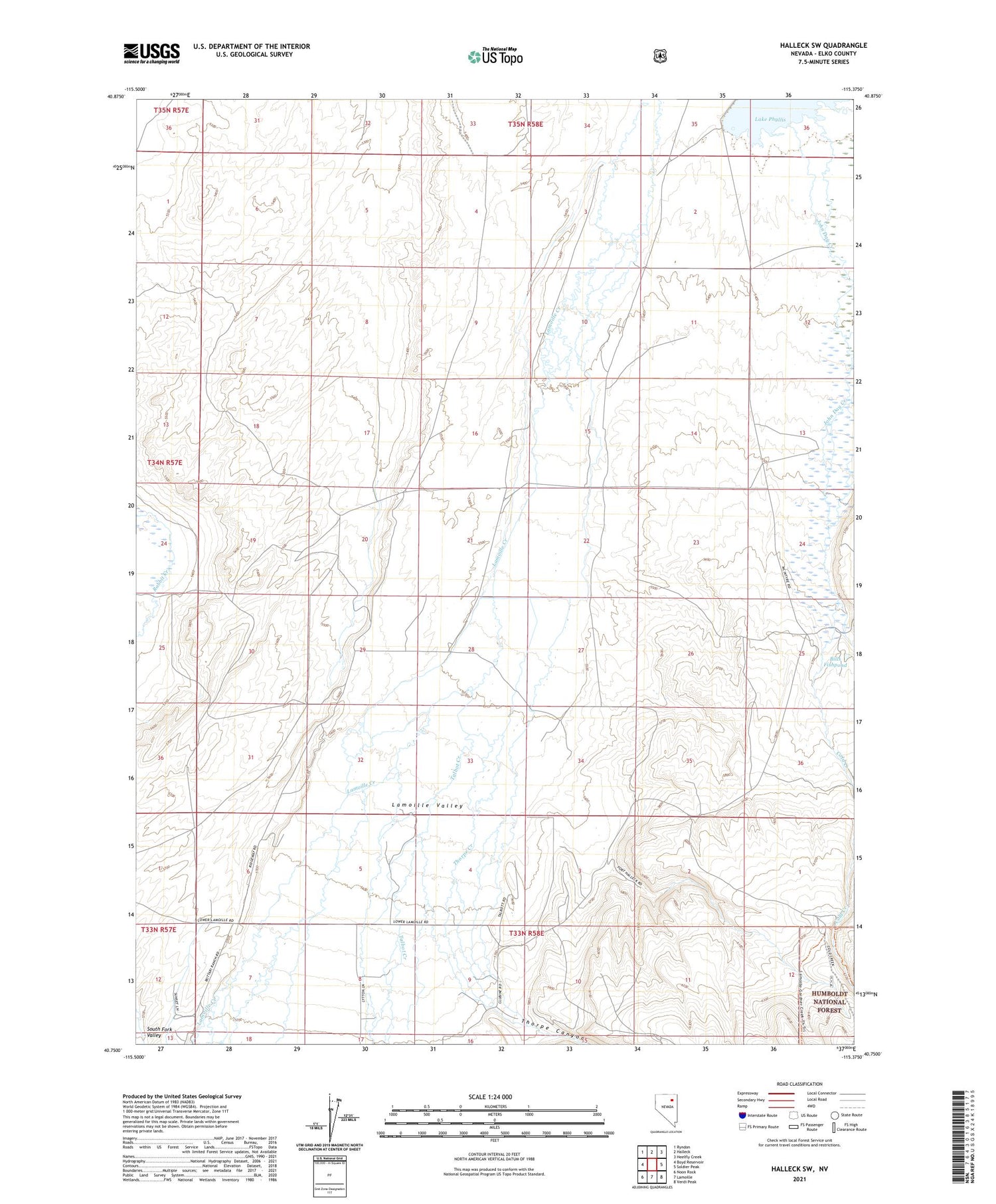
Halleck SW Nevada US Topo Map
Couldn't load pickup availability
Also explore the Halleck SW Forest Service Topo of this same quad for updated USFS data
2021 topographic map quadrangle Halleck SW in the state of Nevada. Scale: 1:24000. Based on the newly updated USGS 7.5' US Topo map series, this map is in the following counties: Elko. The map contains contour data, water features, and other items you are used to seeing on USGS maps, but also has updated roads and other features. This is the next generation of topographic maps. Printed on high-quality waterproof paper with UV fade-resistant inks.
Quads adjacent to this one:
West: Boyd Reservoir
Northwest: Ryndon
North: Halleck
Northeast: Heelfly Creek
East: Soldier Peak
Southeast: Verdi Peak
South: Lamoille
Southwest: Noon Rock
This map covers the same area as the classic USGS quad with code o40115g4.
Contains the following named places: Behn Ranch, Bills Fishpond, Camino Ranch, Cold Creek, Henry Voight Ranch, Humboldt School, John Day Reservoir Dam, Lake Phyllis, Lichens Ranch, Ogilvie Ranch, Panama School, Papas School, Peterson Ranch, Talbot Creek, Thorpe Canyon, Thorpe Creek, Voight, Voight Post Office