MyTopo
Stoddard New Hampshire US Topo Map
Couldn't load pickup availability
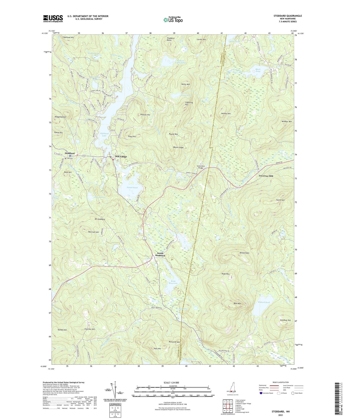
2021 topographic map quadrangle Stoddard in the state of New Hampshire. Scale: 1:24000. Based on the newly updated USGS 7.5' US Topo map series, this map is in the following counties: Cheshire, Hillsborough. The map contains contour data, water features, and other items you are used to seeing on USGS maps, but also has updated roads and other features. This is the next generation of topographic maps. Printed on high-quality waterproof paper with UV fade-resistant inks.
Quads adjacent to this one:
West: Marlow
Northwest: East Lempster
North: Washington
Northeast: Hillsboro Upper Village
East: Hillsboro
Southeast: Peterborough North
South: Dublin
Southwest: Marlborough
Contains the following named places: Bacon Ledge, Bailey Brook, Bald Mountain, Barrett Pond, Black Pond, Black Pond Dam, Camp Merriewoode, Carr Brook, Carter Hill, Dead Brook, Decul Brook, DePierrefeu-Willard Pond Sanctuary, Fisher Brook, Fletcher Hill, Goodhue Hill, Hedgehog Hill, Hidded Pond, Highland Lake, Highland Lake South Outlet Dam, Holmes Hill, Holt Hill, Hosmer State Wildlife Management Area, Island Pond, Island Pond Dam, Kennedy Brook, Lightning Hill, Loverens Mill, Mill Village, Morrison Hill, Morse Brook, Mount Stoddard, Nancy Mountain, Old Cemetery, Pickerel Creek, Pickerel Creek Dam, Pickerel Creek Pond, Proctor Hill, Reed Hill, Rice Brook, Rice Brook Dam, Rice Brook Pond, Robb Mountain, Robb Reservoir, Robb Reservoir Dam, Rollstone Mountain, Round Mountain, Rye Pond, Salmon Brook, South Stoddard, Stacy Hill, Stoddard, Stoddard Congregational Church, Stoddard Fire and Rescue Department, Stoddard Police Dept, Stoddard Post Office, Stoddard Rocks, Stone Arch Bridge, Tolman Hill, Town of Stoddard, Town of Windsor, Trout Pond, Tuttle Hill, Upton Brook, Upton Pond, White Pond, Willard Mountain, Willard Pond, Willard Pond Dam, Windsor Mountain, Windsor Mountain Camps