MyTopo
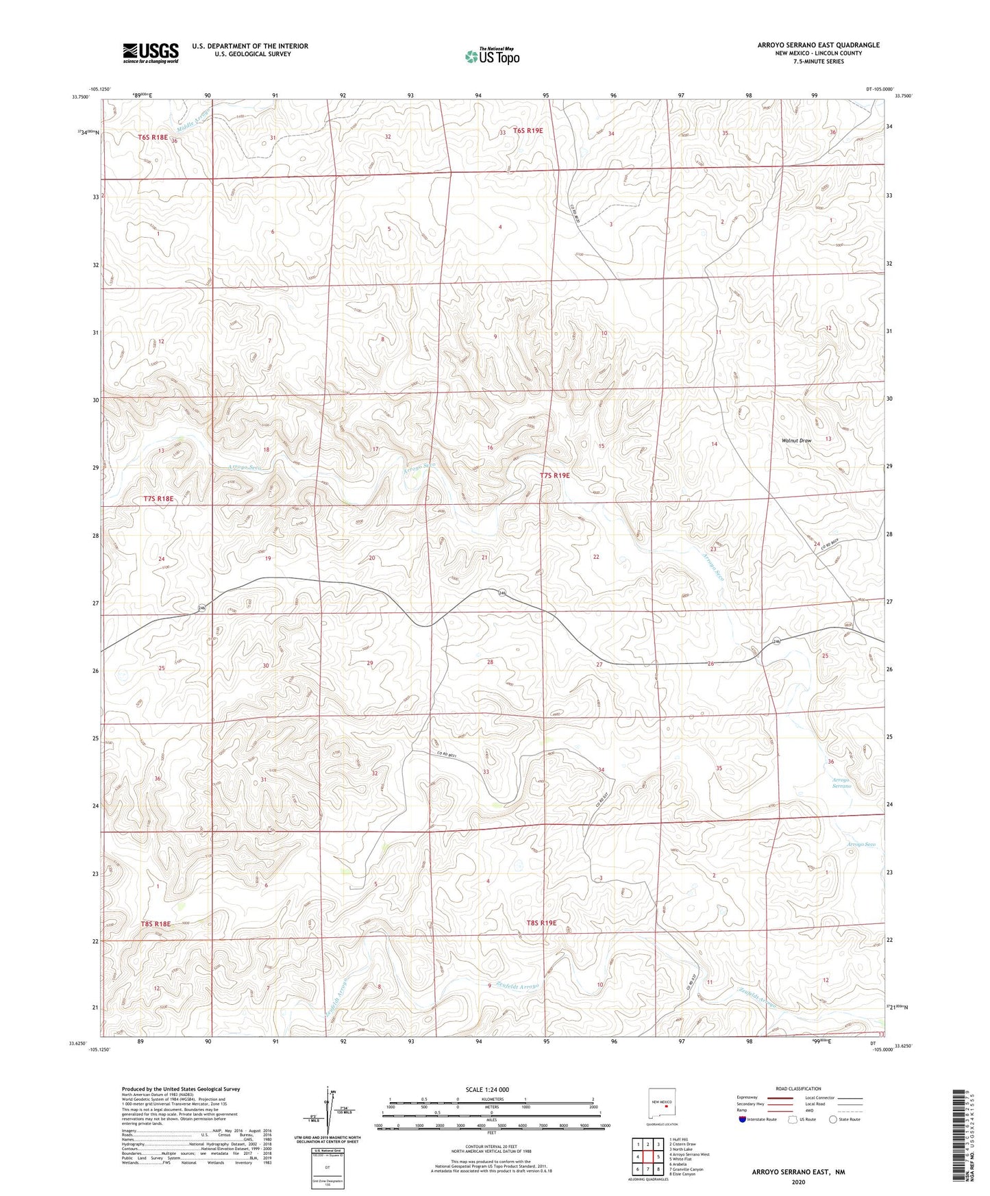
Arroyo Serrano East New Mexico US Topo Map
Couldn't load pickup availability
2023 topographic map quadrangle Arroyo Serrano East in the state of New Mexico. Scale: 1:24000. Based on the newly updated USGS 7.5' US Topo map series, this map is in the following counties: Lincoln. The map contains contour data, water features, and other items you are used to seeing on USGS maps, but also has updated roads and other features. This is the next generation of topographic maps. Printed on high-quality waterproof paper with UV fade-resistant inks.
Quads adjacent to this one:
West: Arroyo Serrano West
Northwest: Huff Hill
North: Cistern Draw
Northeast: North Lake
East: White Flat
Southeast: Elsie Canyon
South: Granville Canyon
Southwest: Arabela
This map covers the same area as the classic USGS quad with code o33105f1.
Contains the following named places: Archuleta Creek, Arroyo Serrano, Bird Ranch, Corns Ranch, Lowrey Ranch, Lowrey Sheep Camp, Millers Windmill, Owens Ranch, Pacheco Ranch, Winkler Middle Windmill, Winkler Ranch