MyTopo
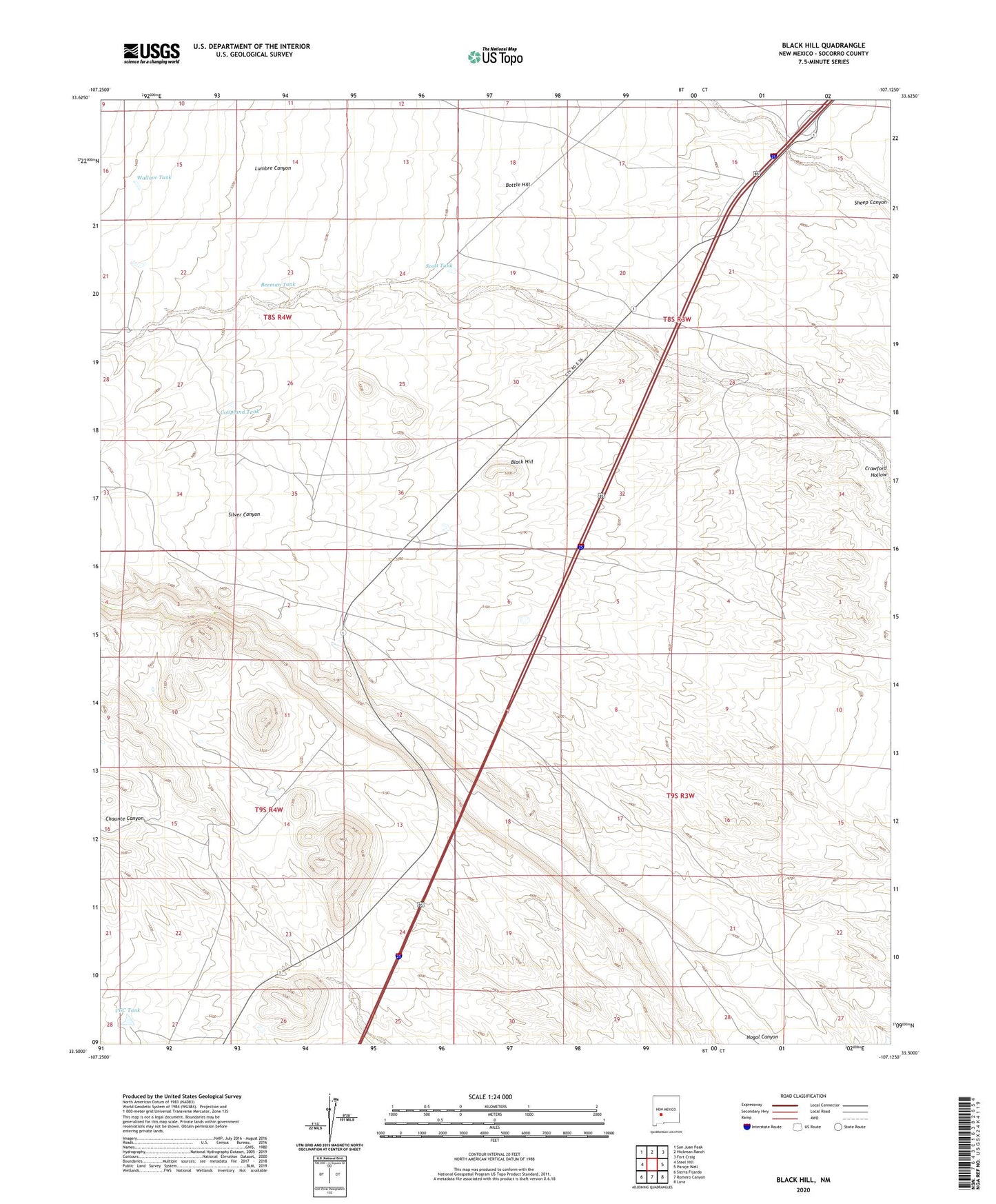
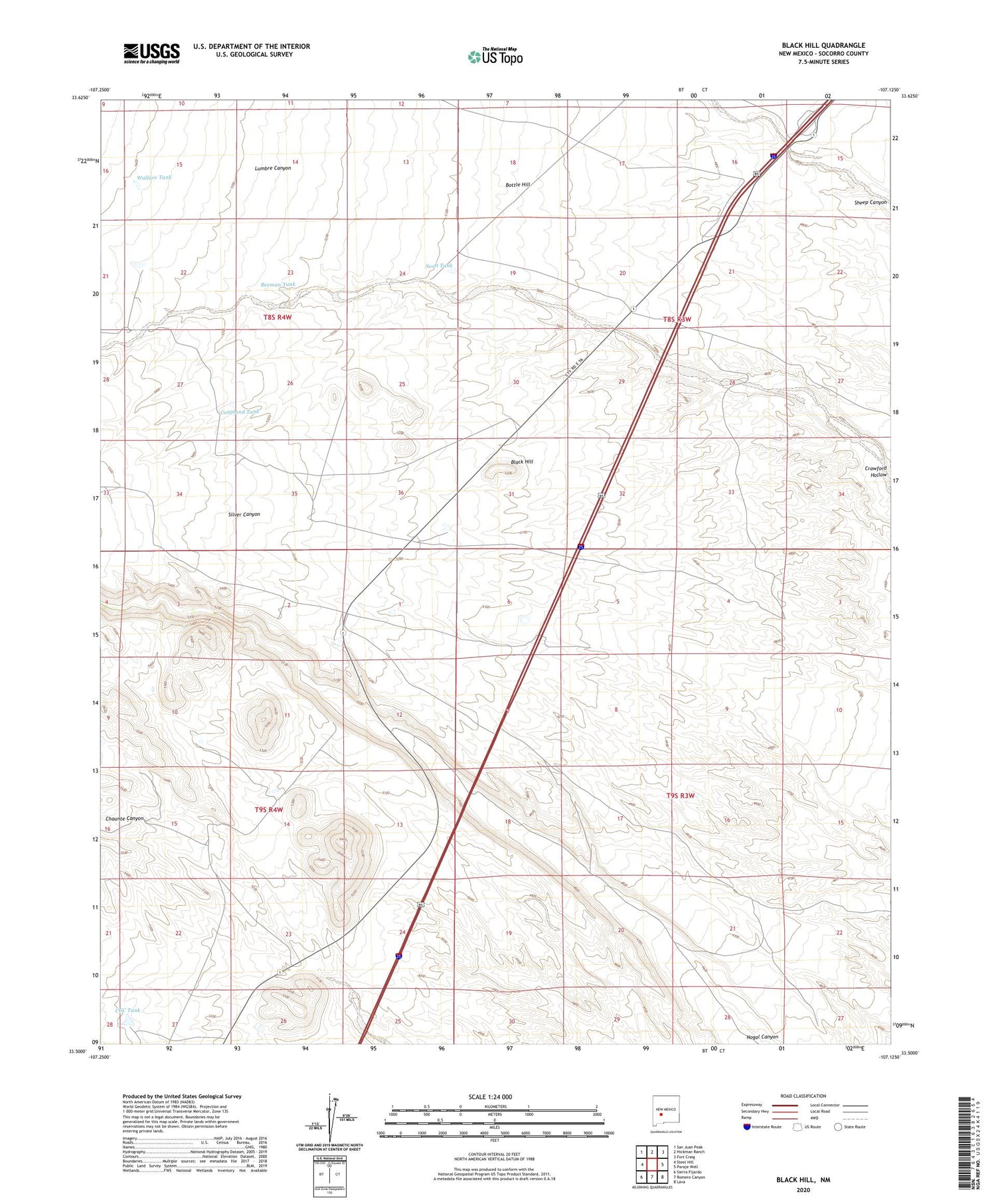
Black Hill New Mexico US Topo Map
Couldn't load pickup availability
2023 topographic map quadrangle Black Hill in the state of New Mexico. Scale: 1:24000. Based on the newly updated USGS 7.5' US Topo map series, this map is in the following counties: Socorro. The map contains contour data, water features, and other items you are used to seeing on USGS maps, but also has updated roads and other features. This is the next generation of topographic maps. Printed on high-quality waterproof paper with UV fade-resistant inks.
Quads adjacent to this one:
West: Steel Hill
Northwest: San Juan Peak
North: Hickman Ranch
Northeast: Fort Craig
East: Paraje Well
Southeast: Lava
South: Romero Canyon
Southwest: Sierra Fijardo
This map covers the same area as the classic USGS quad with code o33107e2.
Contains the following named places: Beeman Tank, Black Hill, Bottle Hill, CCC Tank, Coupland Tank, Coupland Well, G Coupland Ranch, Scott Tank, Shivers 2 Water Well, Shivers Headquaters Water Well, W Coupland Ranch, Wallace Tank