MyTopo
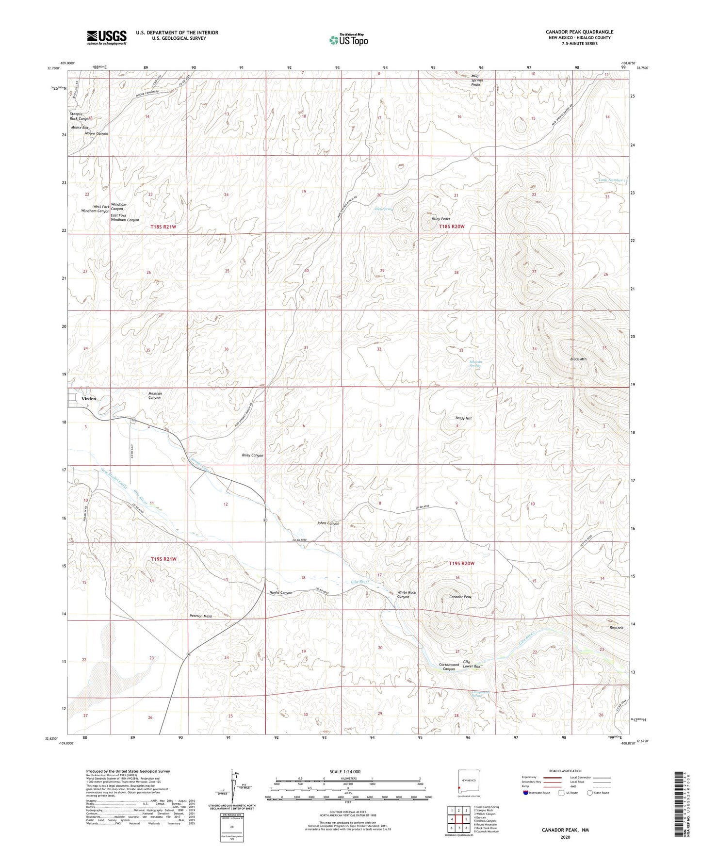
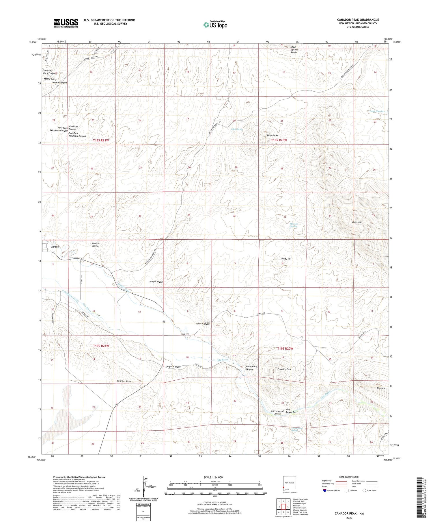
Canador Peak New Mexico US Topo Map
Couldn't load pickup availability
2020 topographic map quadrangle Canador Peak in the state of New Mexico. Scale: 1:24000. Based on the newly updated USGS 7.5' US Topo map series, this map is in the following counties: Hidalgo. The map contains contour data, water features, and other items you are used to seeing on USGS maps, but also has updated roads and other features. This is the next generation of topographic maps. Printed on high-quality waterproof paper with UV fade-resistant inks.
Quads adjacent to this one:
West: Duncan
Northwest: Goat Camp Spring
North: Steeple Rock
Northeast: Walker Canyon
East: Nichols Canyon
Southeast: Caprock Mountain
South: Rock Tank Draw
Southwest: Round Mountain
Contains the following named places: 10002 Water Well, Baldy Hill, Black Mountain, Blue Creek Wilderness Study Area, Canador Peak, Canador Peak Windmill, Cottonwood Canyon, Cottonwood Spring, East Fork Windham Canyon, Gila Lower Box, Gila Lower Box Wilderness Study Area, Hughs Canyon, Johns Canyon, Mexican Canyon, Mexican Springs, Moore Box, Pearson Mesa, Riley Canyon, Riley Peaks, Riley Spring, Rimrock, Steeple Rock Canyon, Sunset Canal, Tank Number 1, Virden Catholic Cemetery, West Fork Windham Canyon, White Rock Canyon