MyTopo
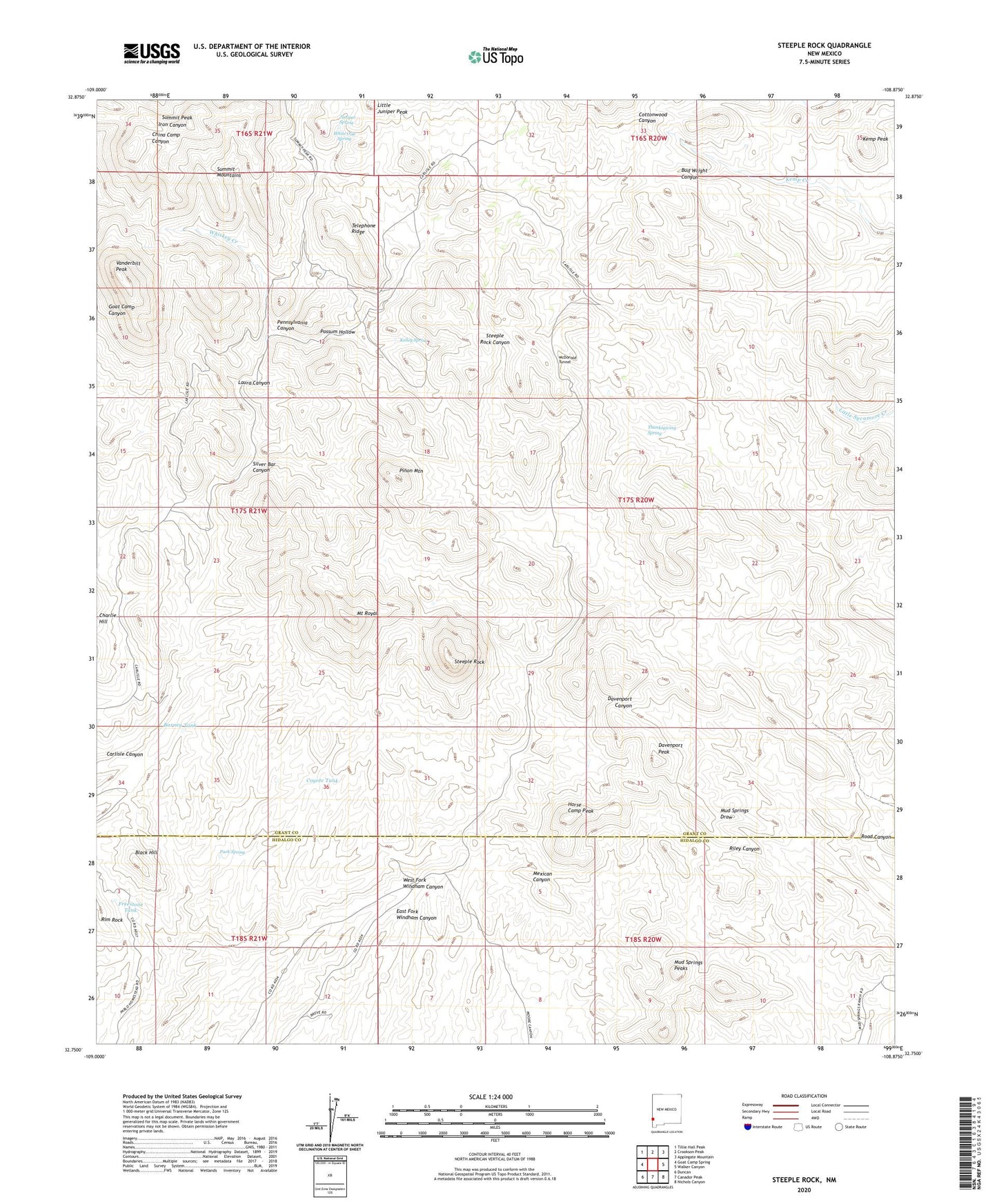
Steeple Rock New Mexico US Topo Map
Couldn't load pickup availability
2023 topographic map quadrangle Steeple Rock in the state of New Mexico. Scale: 1:24000. Based on the newly updated USGS 7.5' US Topo map series, this map is in the following counties: Grant, Hidalgo. The map contains contour data, water features, and other items you are used to seeing on USGS maps, but also has updated roads and other features. This is the next generation of topographic maps. Printed on high-quality waterproof paper with UV fade-resistant inks.
Quads adjacent to this one:
West: Goat Camp Spring
Northwest: Tillie Hall Peak
North: Crookson Peak
Northeast: Applegate Mountain
East: Walker Canyon
Southeast: Nichols Canyon
South: Canador Peak
Southwest: Duncan
This map covers the same area as the classic USGS quad with code o32108g8.
Contains the following named places: Alabama Mine, Angelo Windmill, Barney Tank, Black Hill, Bluebell Windmill, Carlisle Mine, Cottonwood Ranch Windmill, Coyote Tank, Croom Ranch, Davenport Mine, Davenport Peak, East Camp, East Camp Mine, East Camp Post Office, Estes Ranch, Freestone Tank, Golden Nugget Mine, Golden Rod Mine, Goldenrod Mine, Happy Hollow Windmill, Hext Place, Horse Camp Peak, Horse Camp Windmill, Jim Crow Mine, Juniper Spring, Kelley Spring, Kemp Corral, Kemp Peak, Laura Canyon, Laura Mine, Little Juniper Peak, Lower Ranch, McDonald Tunnel, McKelvey Place, Mount Royal, Mount Royal Mine, Mount Royal Windmill, Mud Springs Peaks, New Seep Windmill, Old Man Hext Windmill, Ontario Mine, Pablos Windmill, Park Spring, Pennsylvania Canyon, Pinon Mountain, Possum Hollow, Raeburn Windmill, Road Canyon, Silver Bar Canyon, Steeple Rock, Steeplerock, Summit Mine, Summit Peak, Telephone Ridge, Thanksgiving Spring, Upper Ranch, Vanderbilt Peak, Whiskey Creek, White Oak Spring