MyTopo
Cordova Canyon New Mexico US Topo Map
Couldn't load pickup availability
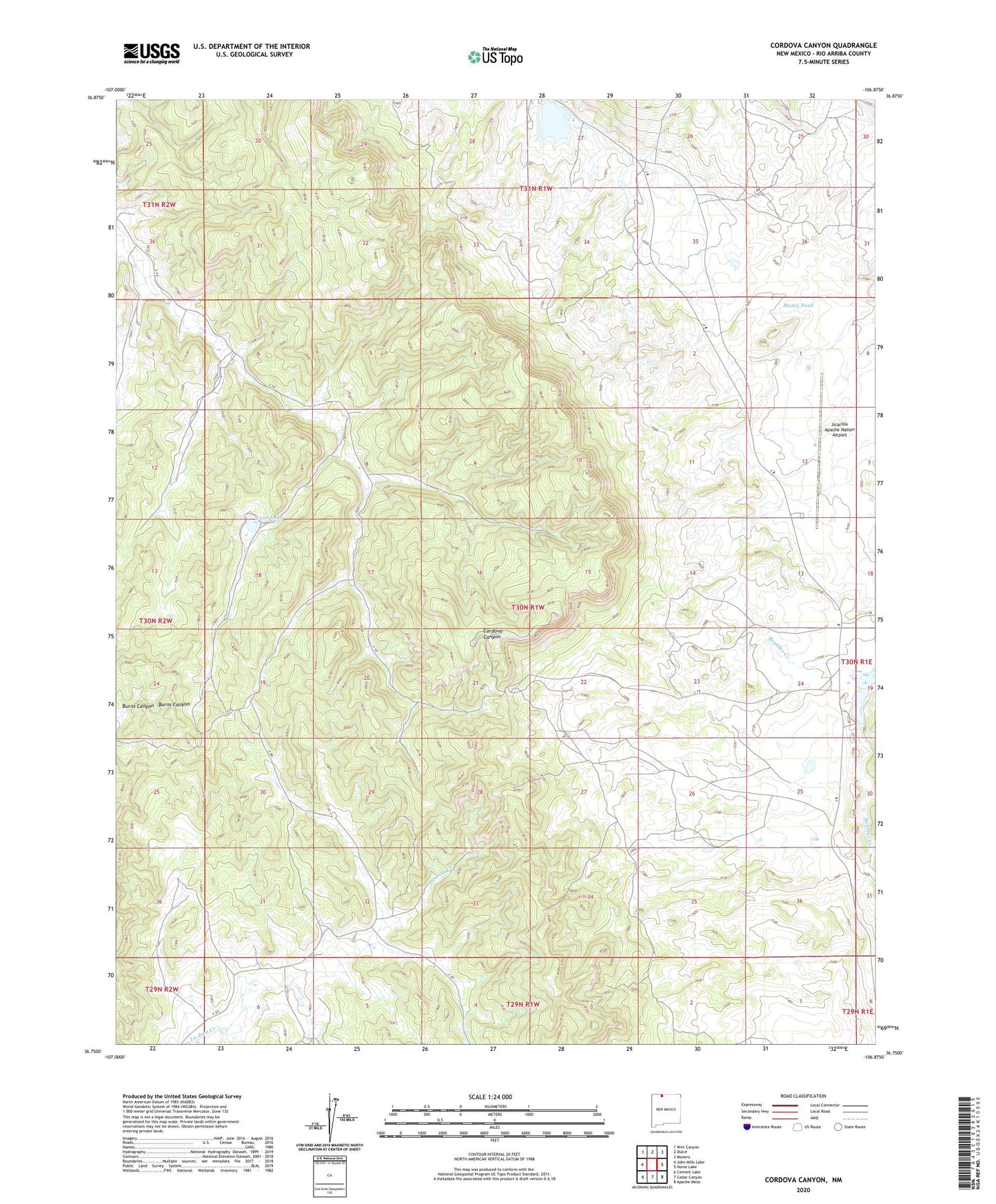
2023 topographic map quadrangle Cordova Canyon in the state of New Mexico. Scale: 1:24000. Based on the newly updated USGS 7.5' US Topo map series, this map is in the following counties: Rio Arriba. The map contains contour data, water features, and other items you are used to seeing on USGS maps, but also has updated roads and other features. This is the next generation of topographic maps. Printed on high-quality waterproof paper with UV fade-resistant inks.
Quads adjacent to this one:
West: John Mills Lake
Northwest: Wirt Canyon
North: Dulce
Northeast: Monero
East: Horse Lake
Southeast: Apache Mesa
South: Cedar Canyon
Southwest: Cement Lake
This map covers the same area as the classic USGS quad with code o36106g8.
Contains the following named places: Enbom Lake, Jicarilla Apache Nation Airport, Luna Lake, Muniz Pond