MyTopo
Cerro De La Campana New Mexico US Topo Map
Couldn't load pickup availability
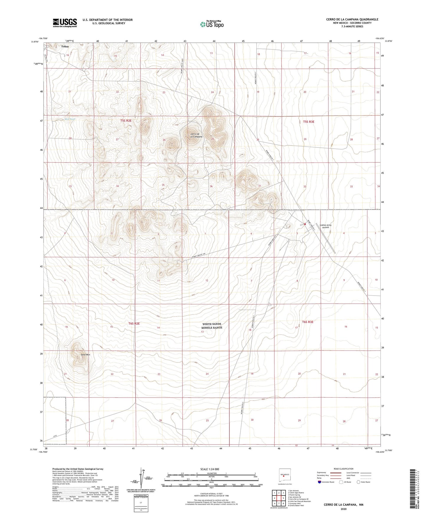
2023 topographic map quadrangle Cerro De La Campana in the state of New Mexico. Scale: 1:24000. Based on the newly updated USGS 7.5' US Topo map series, this map is in the following counties: Socorro. The map contains contour data, water features, and other items you are used to seeing on USGS maps, but also has updated roads and other features. This is the next generation of topographic maps. Printed on high-quality waterproof paper with UV fade-resistant inks.
Quads adjacent to this one:
West: San Antonio SE
Northwest: San Antonio
North: Canon Agua Buena
Northeast: Prairie Spring
East: Cerro De La Campana SE
Southeast: Greens Baber Well
South: Granjean Well
Southwest: Little San Pascual Mountain
This map covers the same area as the classic USGS quad with code o33106g6.
Contains the following named places: Apodaca Well, Cerro de la Campana, Cerro de la Colorado, Field Well, Fite Ranch, Gilmore Coal Mine, Pedia Windmill, Red Tank, Sand Mountain, Stallion Army Airfield, Stallion Range Center, Tokay, Tokay Post Office, White Sands Fire Department Station 3