MyTopo
Dos Lomas New Mexico US Topo Map
Couldn't load pickup availability
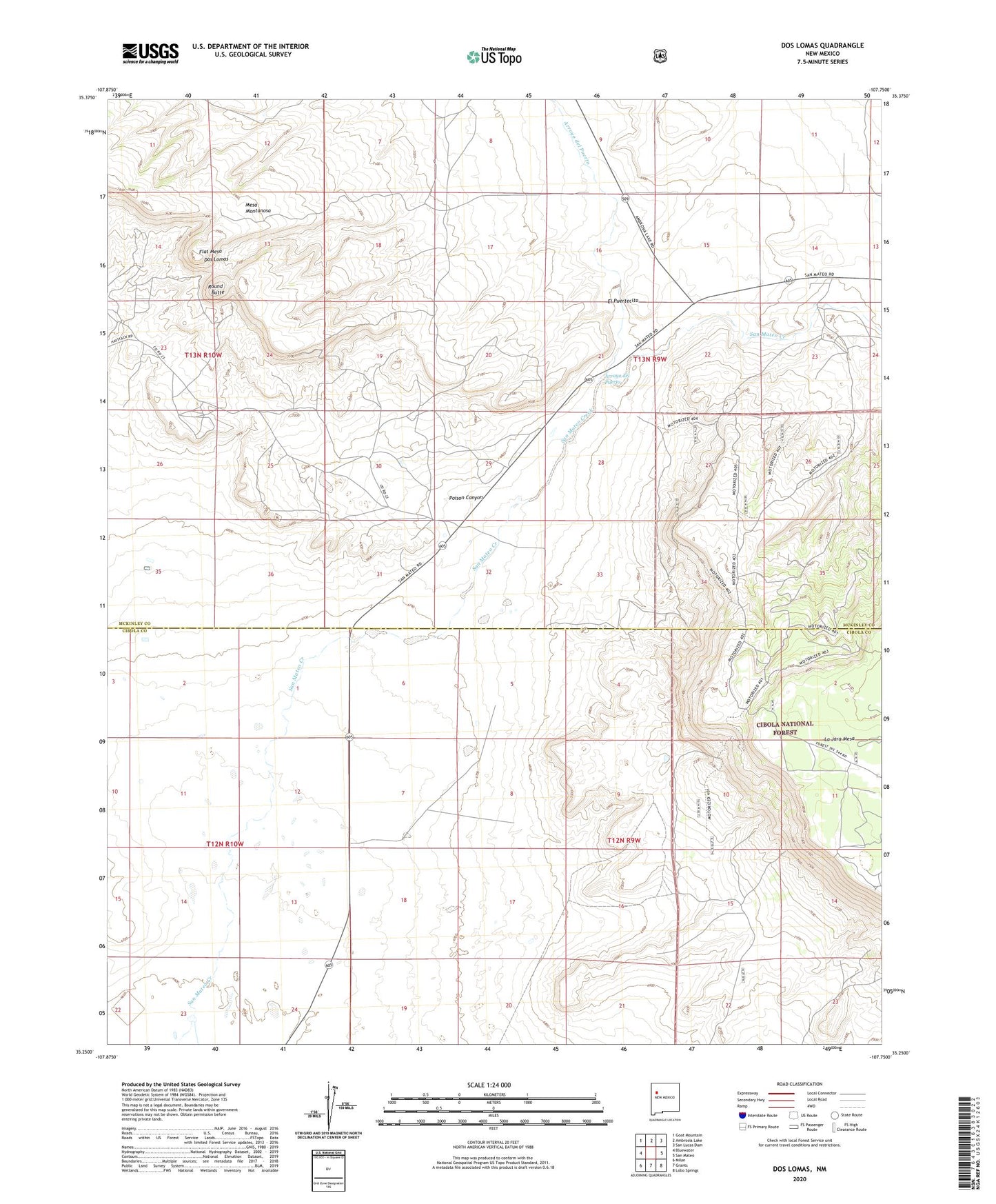
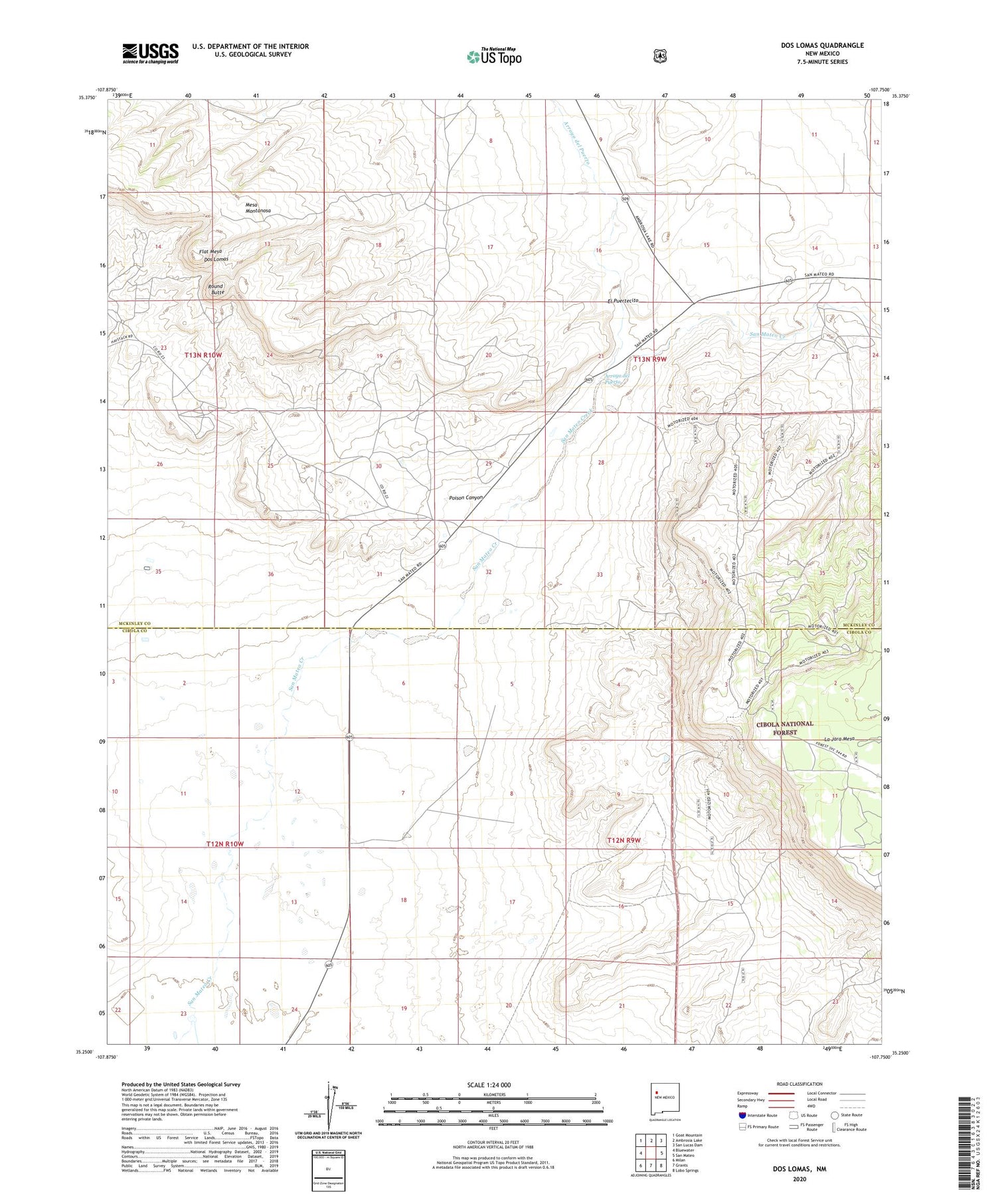
2020 topographic map quadrangle Dos Lomas in the state of New Mexico. Scale: 1:24000. Based on the newly updated USGS 7.5' US Topo map series, this map is in the following counties: Cibola, McKinley. The map contains contour data, water features, and other items you are used to seeing on USGS maps, but also has updated roads and other features. This is the next generation of topographic maps. Printed on high-quality waterproof paper with UV fade-resistant inks.
Quads adjacent to this one:
West: Bluewater
Northwest: Goat Mountain
North: Ambrosia Lake
Northeast: San Lucas Dam
East: San Mateo
Southeast: Lobo Springs
South: Grants
Southwest: Milan
Contains the following named places: 10010 Water Well, 10011 Water Well, 10069 Water Well, Anaconda Section Nine Mine, Arroyo del Puerto, Barbara J Number 1 Mine, Black Hawk Mine, Christmas Day Group, Dalco Mine, Dos Lomas, Double Jerry, El Puertecito, Faith Mine, Farris Mine, Flat Mesa, Flat Top Mine, Flea Doris Extension, Flea Mine, Gay Eagle Mine, Golden P Roundy Mine, Gossett, Grants Perlite Mine, Hanosh Mine, Hogan Mine, Holly, Hope Mine, Isabella, June Mine, Kerr McGee Pit 31-13-9, Last Chance Mine, Malpais, Marcus Mine, Marquez Mine, Mesa Top Mine, Mesa Top Seven, Morrow Mine, Poison Canyon, Poison Canyon Mine, Rancho Del Puerto, Round Butte, Roundy Mine, Roundy Ranch, San Mateo Creek, Taffy, Three Jacks Mine, Todilto Mine Number Two, UDC-1, UDC-5, Uran Deposit, Vallejo Mine, Western Section Twenty One Mine, Westvaco Mine, Zia, Zia Mines