MyTopo
Gage SE New Mexico US Topo Map
Couldn't load pickup availability
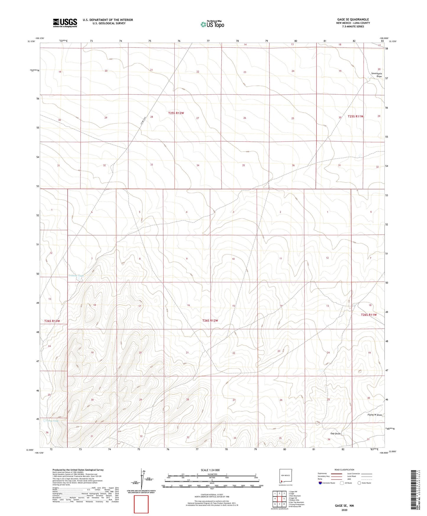
2020 topographic map quadrangle Gage SE in the state of New Mexico. Scale: 1:24000. Based on the newly updated USGS 7.5' US Topo map series, this map is in the following counties: Luna. The map contains contour data, water features, and other items you are used to seeing on USGS maps, but also has updated roads and other features. This is the next generation of topographic maps. Printed on high-quality waterproof paper with UV fade-resistant inks.
Quads adjacent to this one:
West: Gage SW
Northwest: Gage NW
North: Gage
Northeast: Red Mountain
East: Bisbee Hills
Southeast: Hermanas NW
South: Flying W Mountain
Southwest: Hat Top Mountain
Contains the following named places: 00867 Water Well, 01413 Water Well, 01428 Water Well, 01480 Water Well, 06081 Water Well, Big Windmill, Flying W Draw, Halfway Windmill, Klondike Windmill, Little Windmill, Lookout Tank, Pump Windmill, Terry Tank